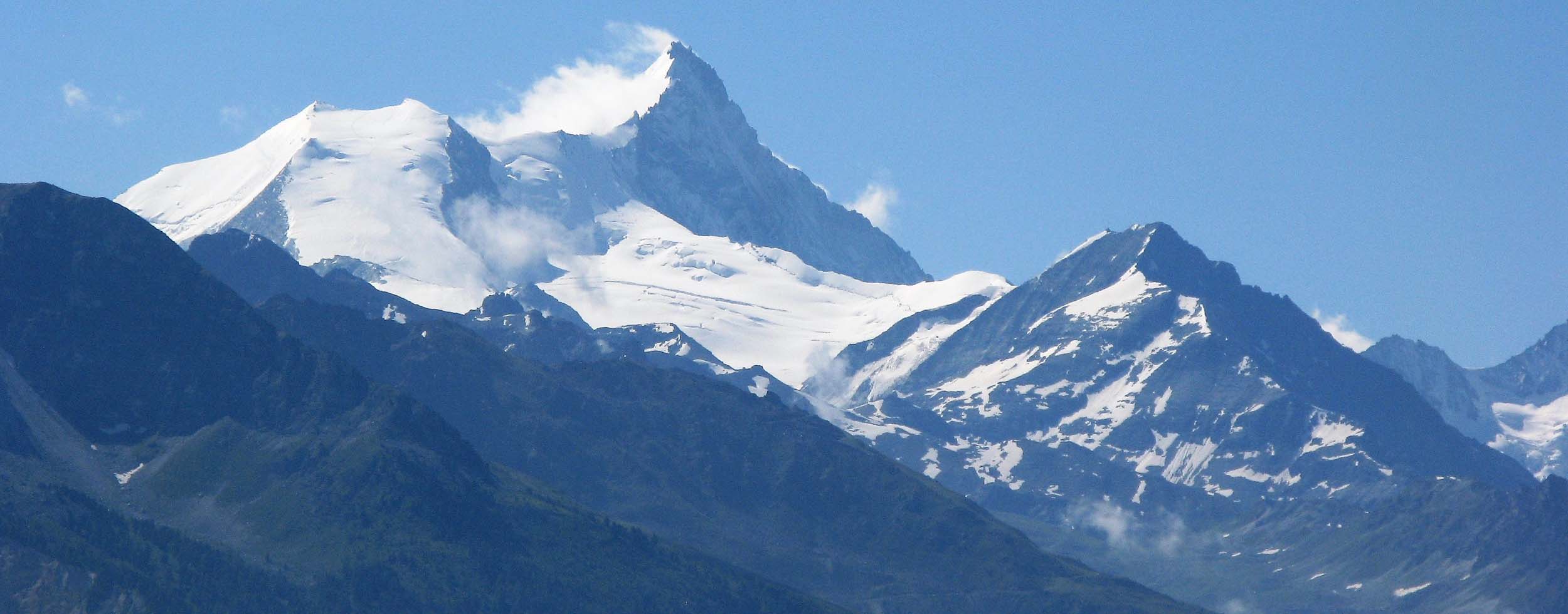
 There are many long distance hiking trails in the Alps and almost certainly the most famous is the Tour Mt Blanc, an 11 Day circuit of Mt Blanc passing through France, Italy and Switzerland. Tens of thousands complete the walk annually and other long distance walks that come readily to mind are the Alpine Pass Route from the Austrian border westwards across Switzerland to Lake Geneva, the Walkers Haute Route from Chamonix and Mt Blanc to Zermatt and the Matterhorn and the Tour of Monte Rosa, another multi day circuit of a major peak.
The reality is, if you open almost any Hiking Guide Book for any part of the Alps and particularly France, Switzerland, Austria and Italy, you will find details of at least one multi day hike and invariably linking a combination of Mountain Huts (or Refuges/Cabins) only accessible by trails and villages. Indeed one of the attractions of long distance hiking in the Alps is you do not need to carry camping equipment or food because the Huts provide sleeping spaces in dormitories with a plentiful supply of blankets and pillows and pretty much all except the smaller unmanned huts in the most remote locations provide dinner and breakfast with your accommodation.
And of course, all the local areas and tourist offices are keen to promote the multi day walks in their areas, as it attracts revenue and visitors to their communities.
One of the well known multiday walks in the Bernese Alps is the Wildstrubel Circuit, which encircles the Wildsrubel Massif to the west of Kandersteg. Like most multiday hikes, there are a few variants but the normal route Kandersteg – Adelboden – Lenk – Wildstrubel Hut – Crans Montana – Leukerbad – Kandersteg takes around 6 days, with an additional two days if one extends it from Leukerbad over the Restipass into the Lotschental Valley and then over the Lotschenpass before descending to Selden, where most people would take the Postbus the last few kilometres along the twisting tarmac road back to Kandersteg.
It was a walk that was always on my wish list, but which I had never quite got around to undertaking, but the opportunity finally came in the summer of 2016.
The catalyst was my friend Paul Power from Australia. Paul had worked for my Travel Company Casterbridge Tours in 1983 and 1984 as a Tour Guide and we had stayed in touch and over the years I saw him on two or three occasions, when visiting Australia and then in 2009 he had brought his wife Phil and 3 kids to Murren. Paul and his family stayed with myself and my mother who was also visiting, and I took them out on a day hike to the local, spectacular and not a little exposed viewpoint of Bryndli.
At that time most years I was promoting and leading a ‘one off’ trek for both friends and clients to exotic destinations that I was keen to discover and explore. The following year Paul and three friends signed up for the 2010 Chairman’s Trek which was an ambitious and challenging trek in the Rolwaling Himalaya in Nepal, so challenging in fact that the Chairman (me!) was a No Show and the trek was led by Andy Broom, now CEO of Kipling Tours (for an unabashed plug learn more about the excellent customised programs that Kipling Tours operate by going here)
Some strong intra continental friendships resulted from that trek and, as a result, two years later Paul organised a reunion trek for many of the participants in Patagonia. Although I had sold Casterbridge Tours in 2011, he still invited me to participate as an ‘Ex Chairman’ and although I was indeed in Patagonia and Antarctica at a similar time, his dates clashed with mine. As did the third reunion trek that Paul organised to New Zealand in 2014!
By this time many of the participants were doubtful if there ever had been a Chairman in the first place, as they were yet to meet me, but Paul being Paul felt he could adequately solve that point of concern by becoming a self-appointed Chairman of this bi – annual gathering, with the core participants still from the 2010 group, but with a few new faces each year.
I pointed out that these wicked and scurrilous comments about a No Show Chairman would have been easily avoided if he had chosen to consult me before settling on dates, but in truth Paul rather enjoyed being called Chairman Paul rather than Mr Power. Indeed it was Paul Power Esq who in the 1980s, should have secured copyright for the term ‘Power Nap’, due to his impressive ability to sleep just about anywhere for 10 minutes and subsequently awake refreshed and then drive our clients for another 100 miles in our minibus!
I generously proposed to Paul that if he brought his group to the Alps in the summer of 2016, not only would I grace them with my presence but as a mea culpa for my absence in 2010, I would help plan and organise an extended 16-day trek through some of the most magnificent Mountain vistas in the Alps.
I did however make it clear that just as too many cooks indeed spoil the broth, there could only be one Chairman, so his titular address would have to be not XXXX (the popular beer from his home state of Queensland) bur AAA (Australian Administrative Assistant)!
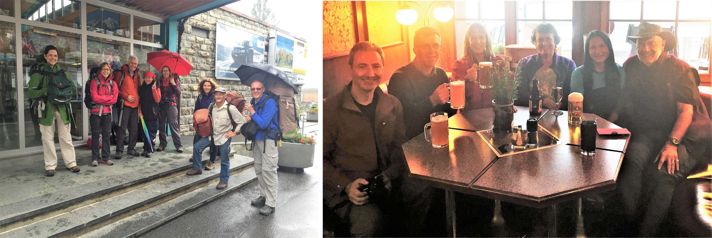
So whatever the titles, on July 13 2016 we all managed to meet in the spectacularly situated Swiss Village of Murren where our family has had a home since 1997.
There were 12 of us in total and as well as myself, 9 Dinky Dye Australians, 1 Canadian and 1 Thai.
My plan was to spend two days on some gentle introductory walking around Murren, followed by a more challenging two day circuit of the magnificent Upper Lauterbrunnen Valley, climbing out of the Sefinental Valley to Tanzbodoli almost 1000 metres higher, for one of the most spectacular views in the Alps, before staying overnight at the famous Obersteinberg Hotel (only accessible by foot). The following day we would continue to the Lake at Oberhornsee and the Schmadri Hut before descending to Stechelberg and the cable car up to Murren.
The plan there after was to spend three and a half days on the Alpine Pass Trail staying at three mountain Huts and after crossing two high passes we would descend to Kandersteg for a Rest Day after 8 days of walking. We would have now reached the Wildstrubel Circuit and had booked accommodation planning to do the extended version in 7 Days.
I am not sure we ever did get the claims on the Chairmanship properly sorted (although I do know that a real Chairmen would not have taken their group on to a Bus and Train rather than hike the 17km to get to the Hot Baths at Leukerbad) but we had fifteen magnificent days of walking amidst spectacular mountain scenery, only about three hours of rain, no accidents, no one who could not make it and most importantly all achieved in great company.
I hope you enjoy looking at the images that follow.
July 14 – 16 2016 Gentle Hiking around Murren
Our group was pretty fit but I had planned a couple of days easy hiking from Murren to get everone’s muscles loosened up after their long journeys to Switzerland from three continents.
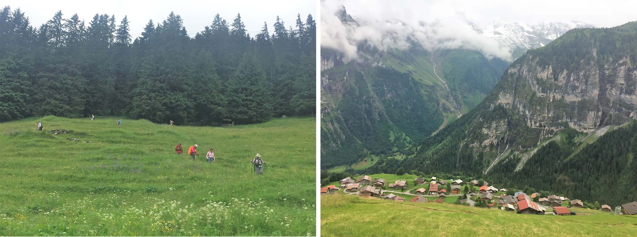
On the first full day after visiting the Sprutz Waterfall we descended through the forest to the village of Gimmelwald and continued our descent into the Sefinental Valley and on to the impressive amphitheatre of Kilchbalm at the end of the valley, with waterfalls cascading down and indeed emerging from the rocks around us.
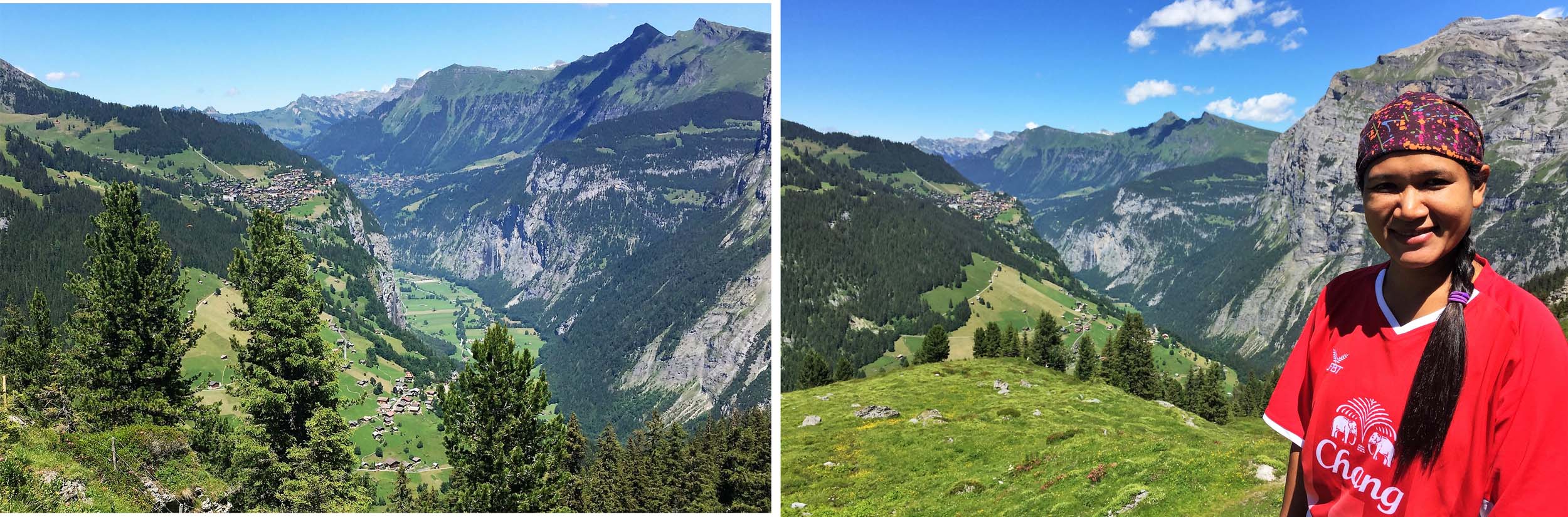
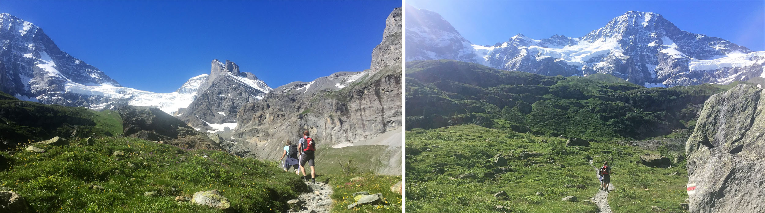
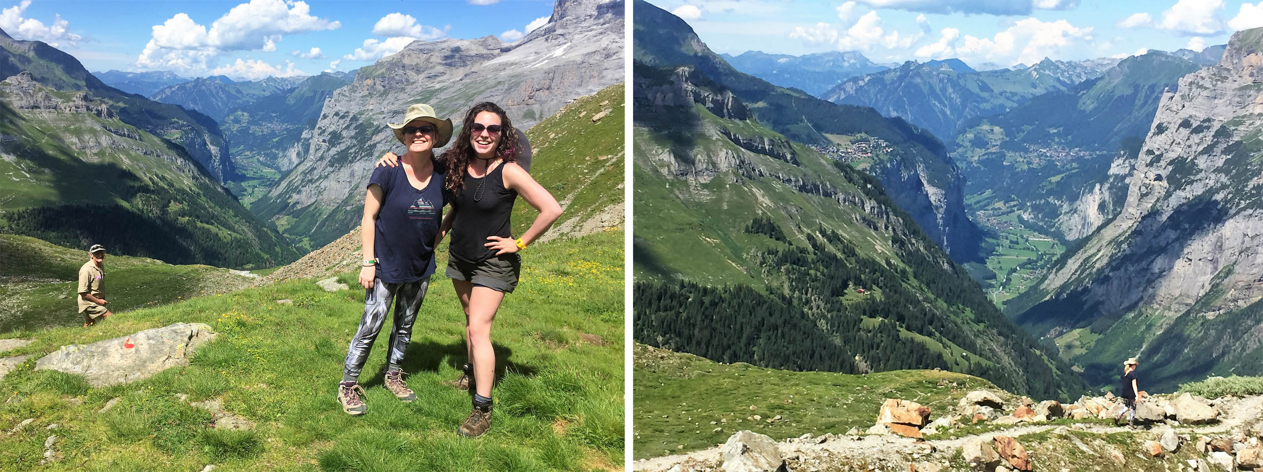
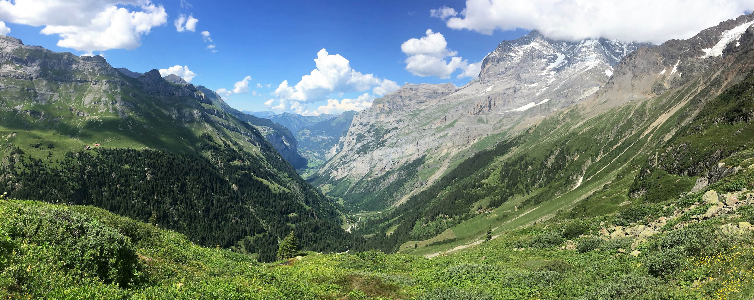
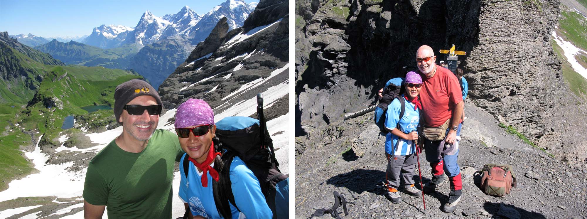
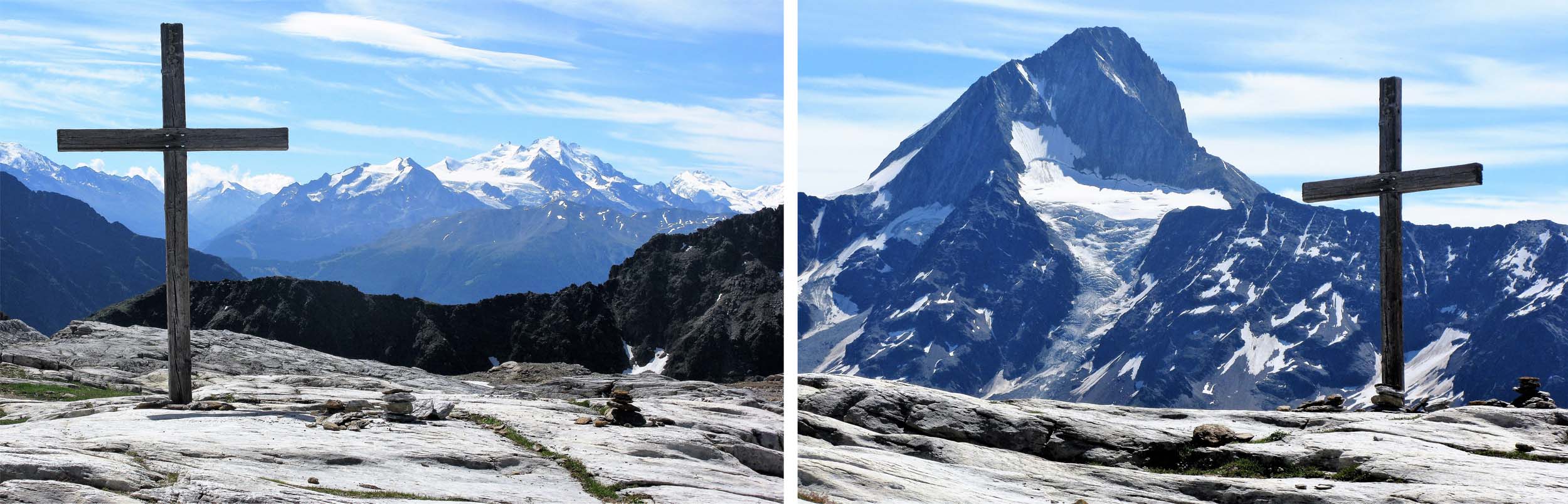
The following day we took the magnificent Balcony trail from Murren to the much less visited Saustal Valley. The three giant peaks of the Eiger, Monch and Jungfrau, so synonymous of the Bernese Oberland, were always beside us as a spectacular backcloth.
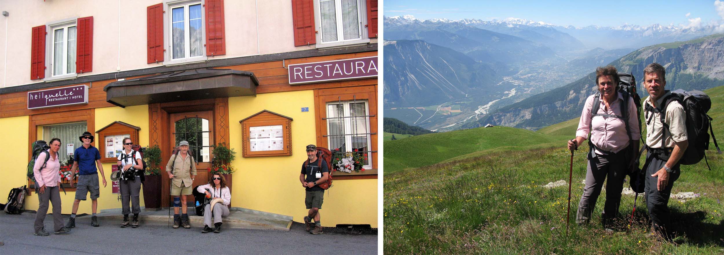
Paul Power and his group arrive in Murren
Descending to Gimmelwald.

Descending into the Sefinental Valley.

Approaching Kilchbalm at the head of the Sefinental Valley
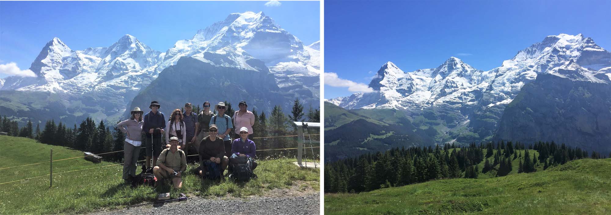
First of many group pictures and with the Eiger Monch and Jungfrau behind.
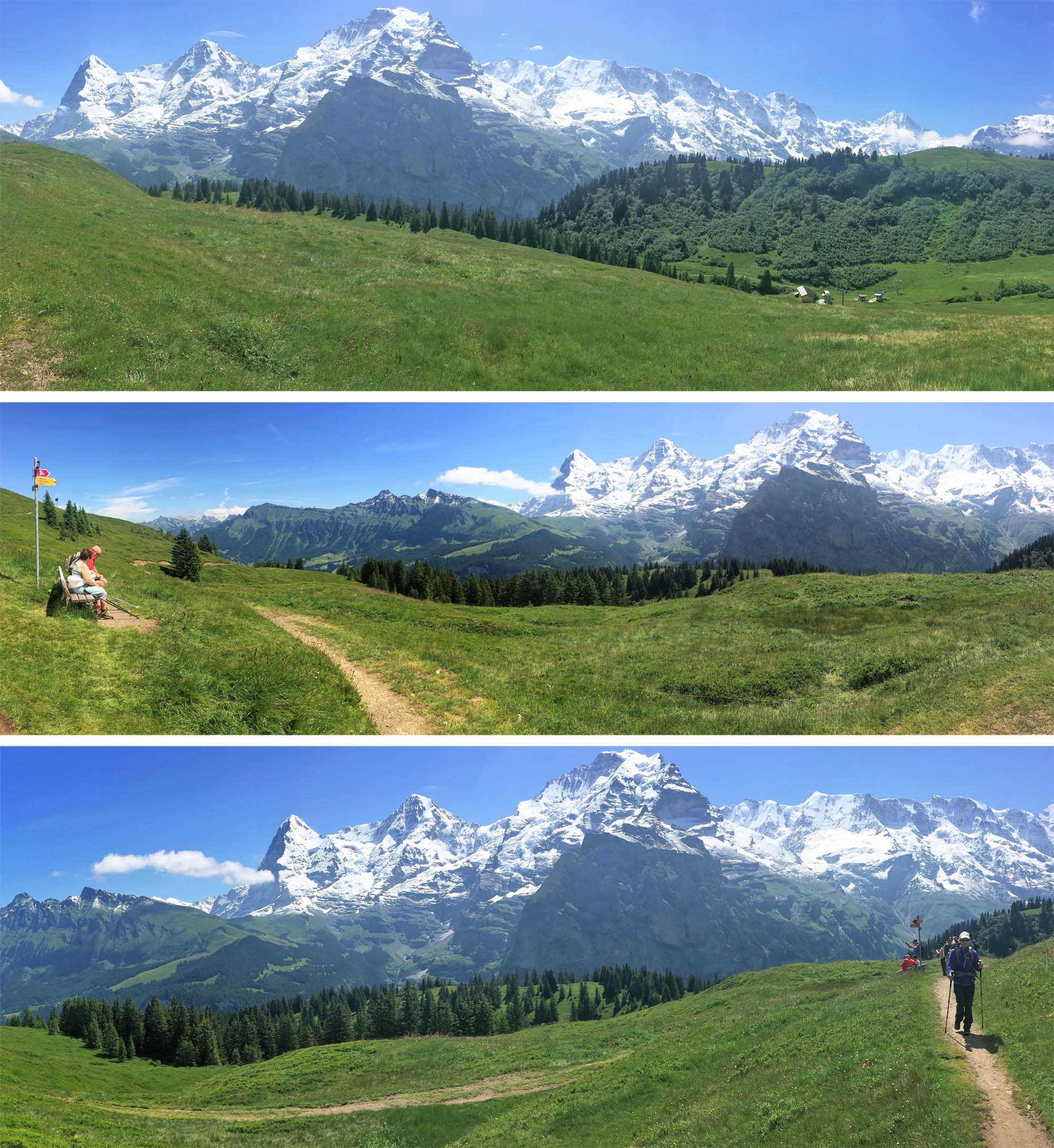
The magnificent Eiger, Monch and Jungfrau dominate the easy hike from Almendhubel to Marchegg.
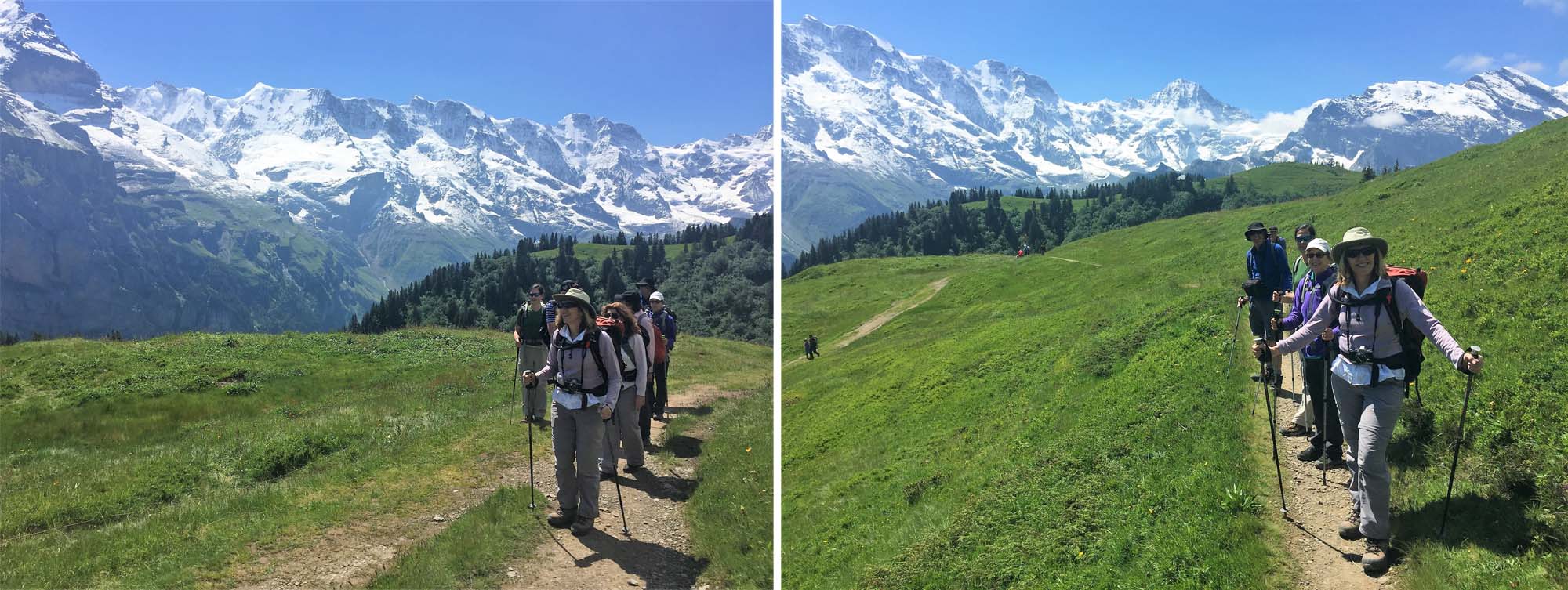
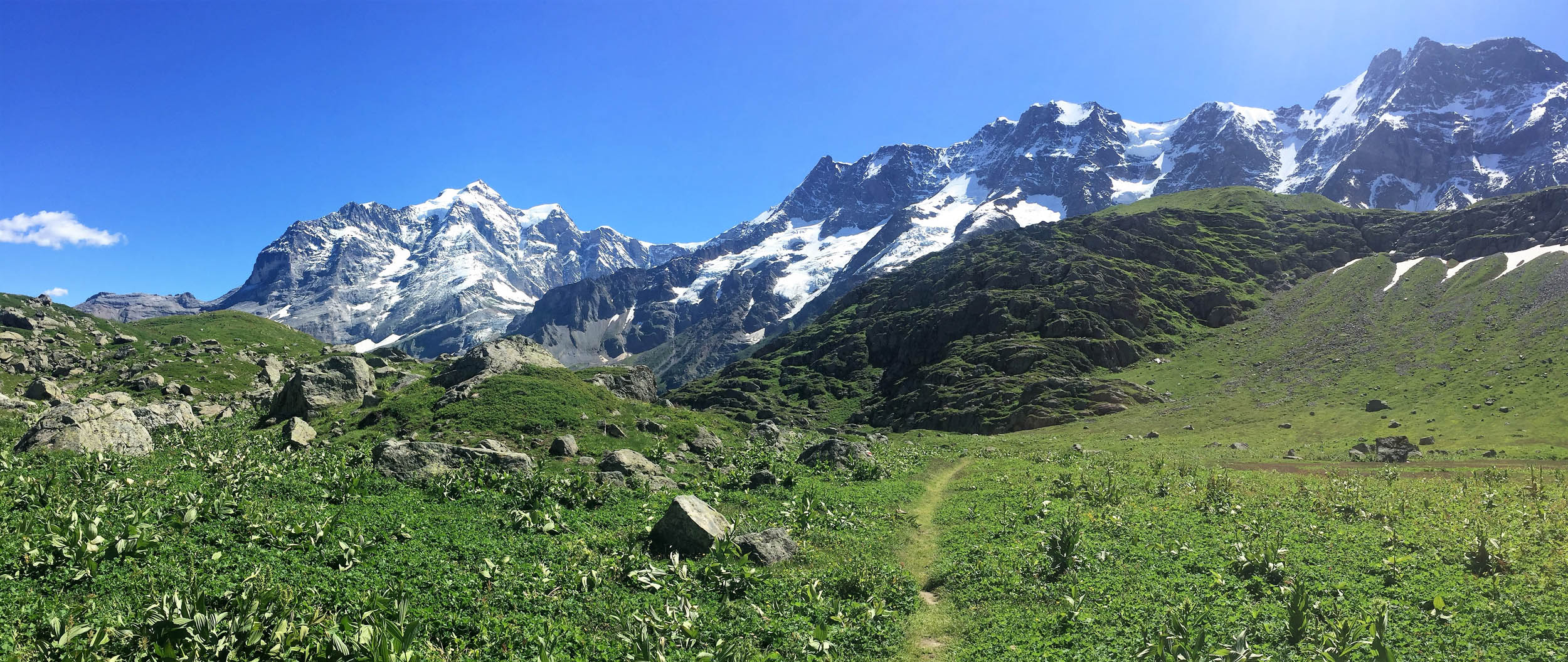
Easy hiking to start with but there was another 13 days hiking to follow!
Descending into the less visited Soustal Valley always reminds me of Shangri – La.
July 17 – 18 2016 Two Day circuit of the Upper Lauterbrunnen Valley
The two-day circuit of the Upper Lauterbrunnen Valley is without doubt one of the finest two day hikes in the Alps. I try to do the hike each year and have done it at least a dozen times and the scenery never fails to impress me.
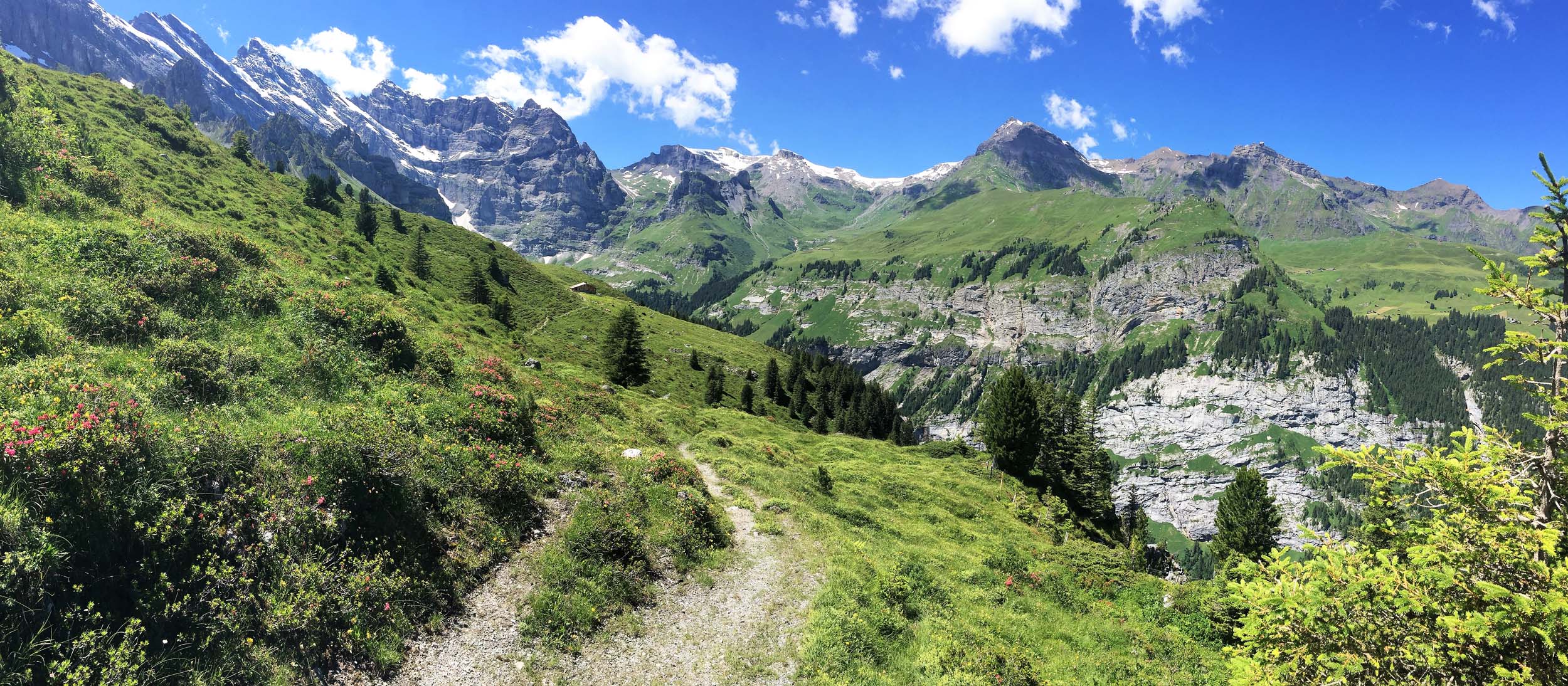
We took the Cable car down to Gimmelwald and then descended into the Sefinental Valley before an unrelentingly steep ascent of almost 900 metres plus some easy scrambling at the end to reach to the spectacular viewpoint of Tanzbodeli (Dancing Place) which affords one of the finest mountain panoramas to be found anywhere in the Alps, with close up views of the entire Lauterbrunnen Wall, The Schmadri Falls, the Petersgrat Icefield and a host of Peaks.
On our way to Tanzbodeli we had also made a short diversion to the picturesque Alp and summer pastures at Busenalp and you can read more about living alone on this isolated Alp here. Unfortunately the present occupants are not so friendly as Sylvia who is described in the article.
From Tanzbodoli we descended to the Obersteinberg Mountain Inn, my favourite Hotel in the world, and only accessible by foot.
The following day we climbed another 400 metres to the magical Oberhornsee Lake situated below the graceful Breithorn, where we could relax and admire the spectacular surroundings. Another 90 minutes or so (for the slowest of us) brought us to the unmanned Schmadri Hut, a perfect lunch spot before a very long 1300m and four hour descent to the floor of the Lauterbrunnen Valley at Stechelberg, where we got the cable car back up to Gimmelwald and on to Murren.
And after four days of hiking we were all more or less in shape and we planned to have an easy morning sorting out gear and washing clothes, before we set off on a four day hike across two high passes to Kandersteg, where we would join the Wildstrubel Circuit.
As we climbed up towards Tanzbodoli we made a diversion to the Alp at Busenalp and could look across the Sefinental to Murren and Gimmelwald where we had begun.
The approach to the delightfully located Alp at Busenalp.
Lunch break at Busenalp with the Schilthorn on the right of the left image, and the Jungfrau (centre) and the Ebnefluh (right) prominent in the right image.
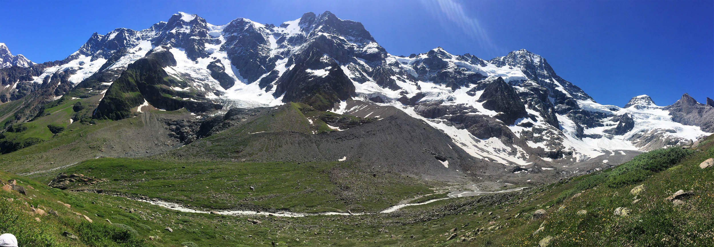
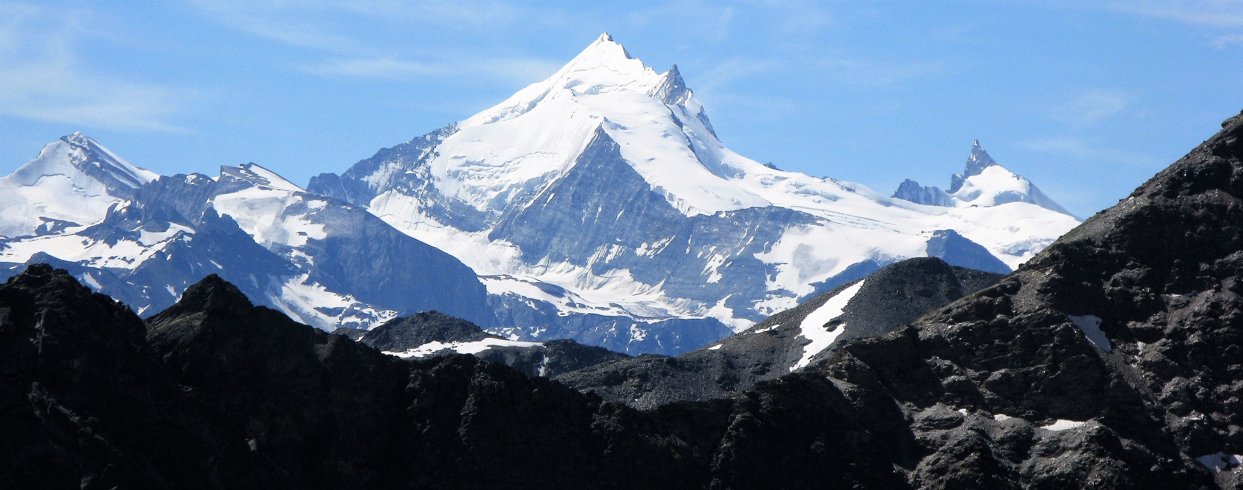
The view of the Lauterbrunnen Wall from the viewpoint of Tanbodoli is magnificent with from left to right: The Ebnefluh (3962m), Mittaghorn (3829m), Grosshorn (3754m), Breithorn (3780m) and Tschingelhorn (3562m).
The descent from Tanzbodoli towards Obersteinberg.

Our group on the summit of Tanzbodoli and enjoying dinner at the Obersteinberg Mountain Inn.
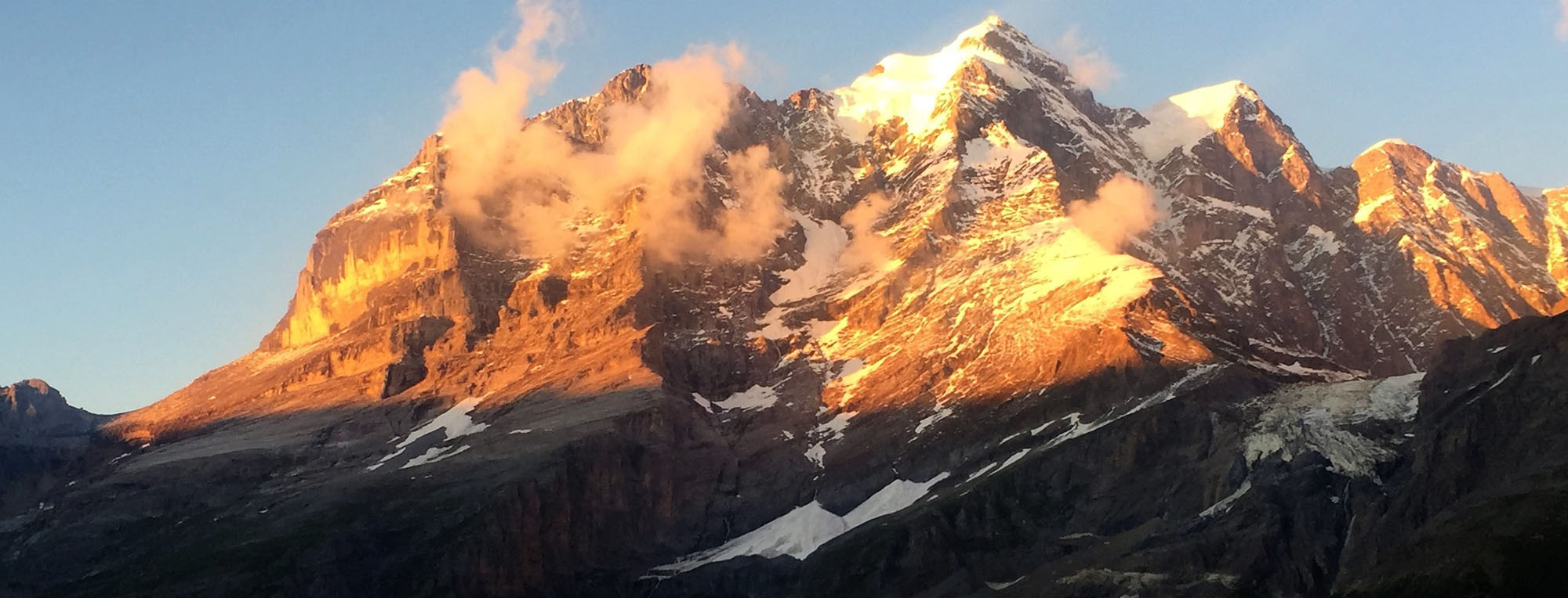
Evening glow on the Jungfrau from Obersteinberg.
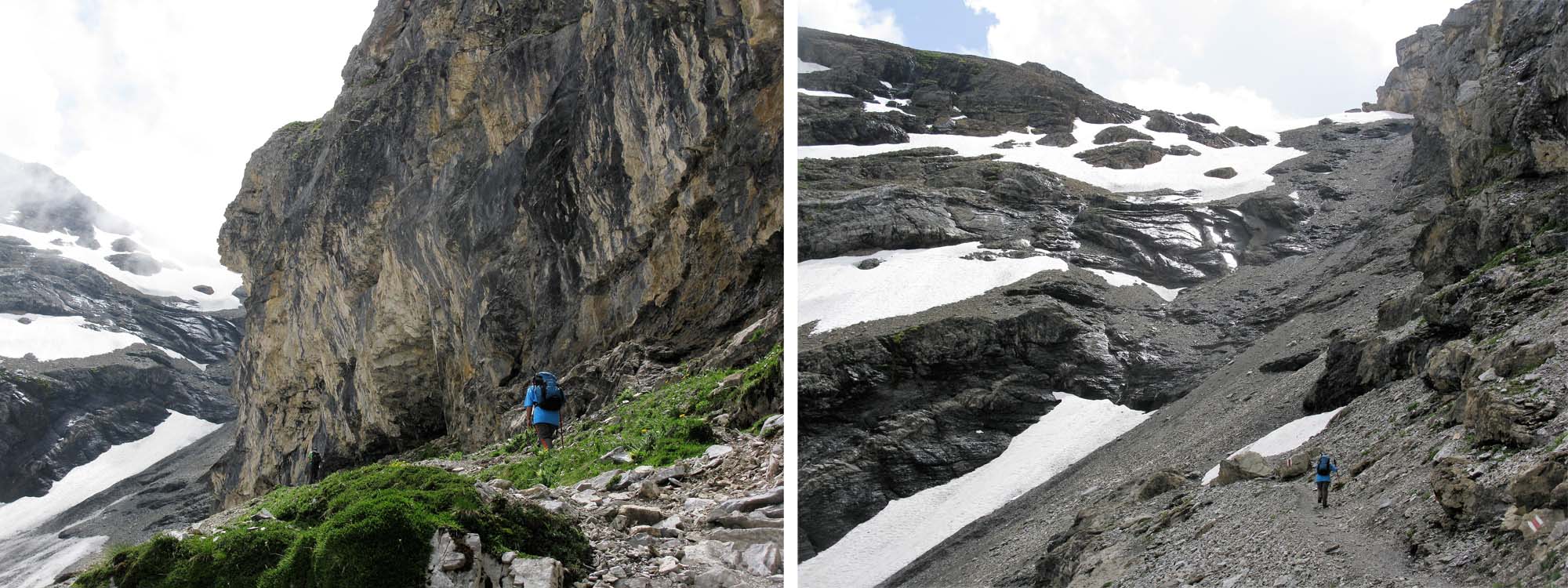
The trail from Obersteinberg into the UNESCO protected Upper Lauterbrunnen Valley
Between Obersteinberg and Oberhornsee hiking towards the Breithorn.
Approaching Oberhornsee
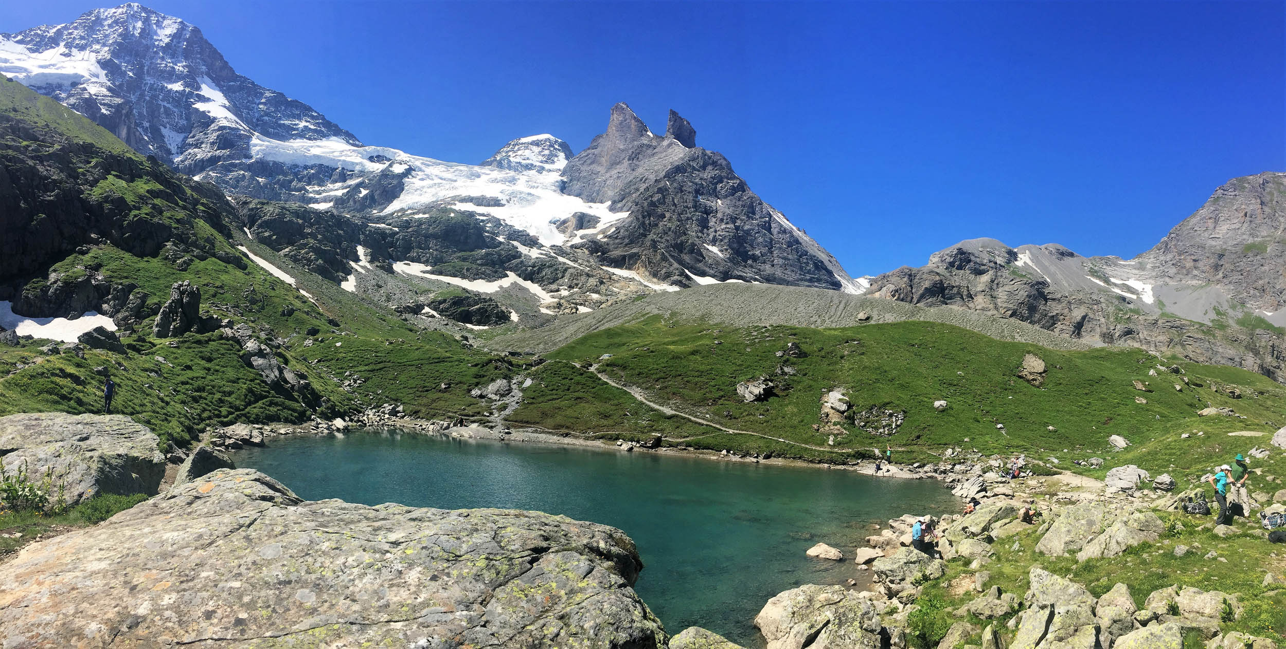
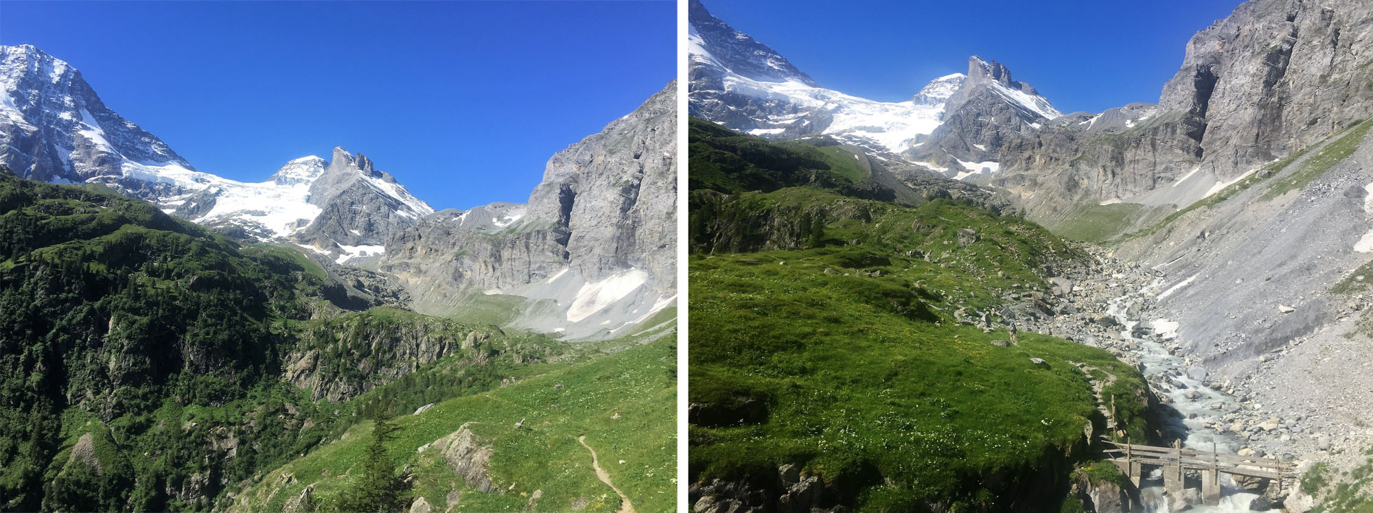
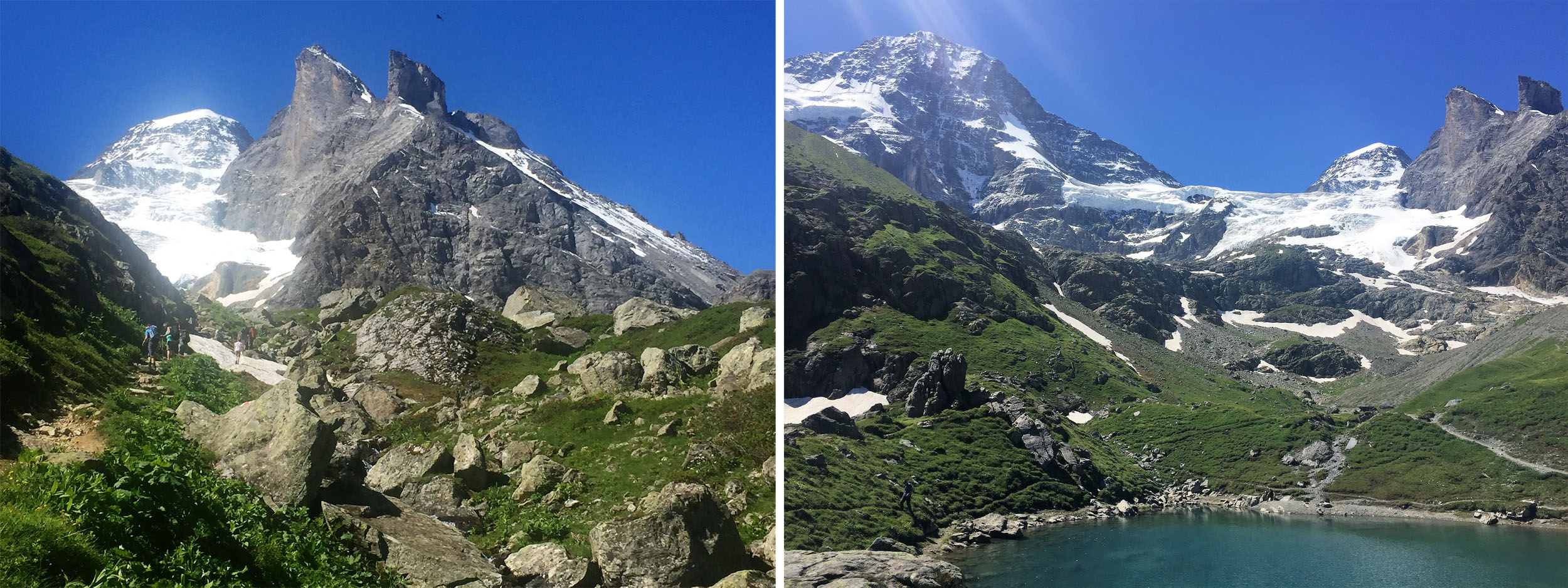
Oberhornsee is a magical spot with the Breithorn (left) and Tschingelhorn (right) behind.

Between Oberhornsee and the Schmadri Hut.
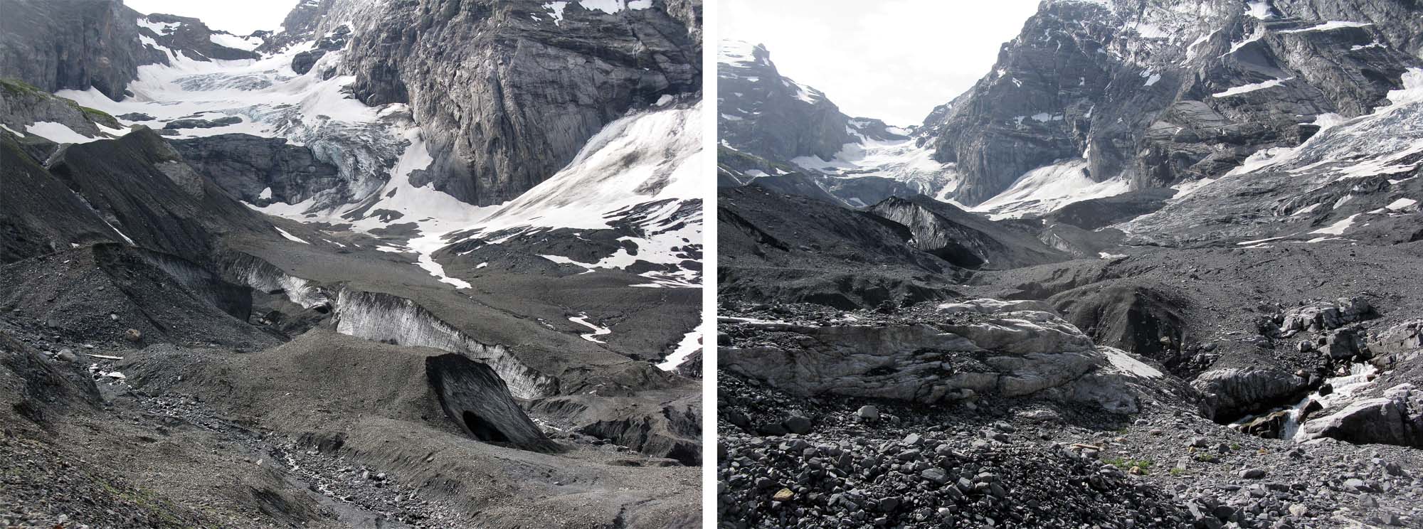
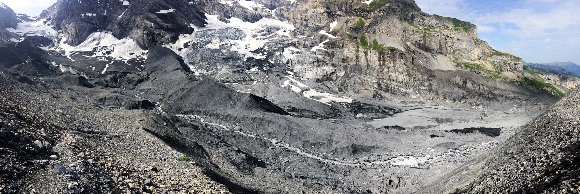
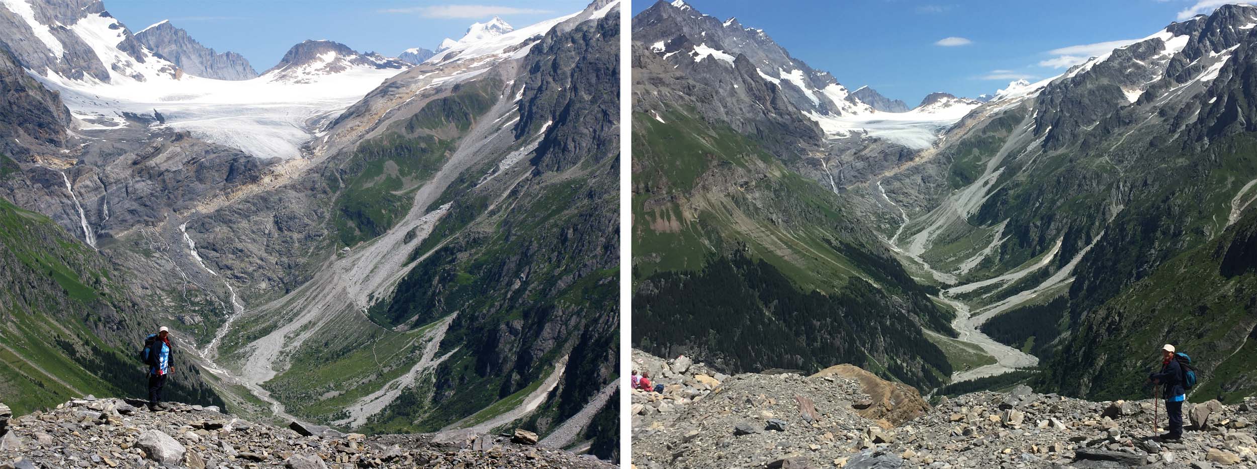
Looking towards the Schmadri Hut which is located dead centre on a grassy ridge surrounded by a crescent moraine. The stream is emerging from the rubble covered Breithorn Glacier on the right.
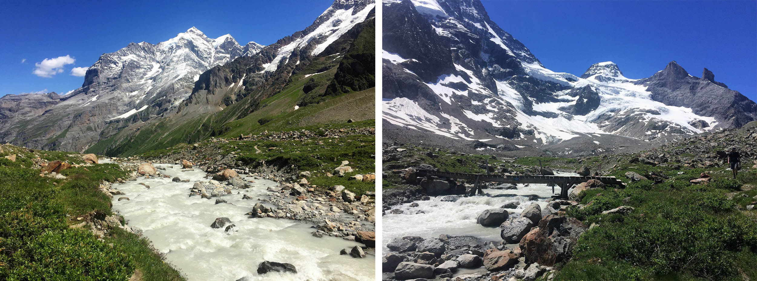
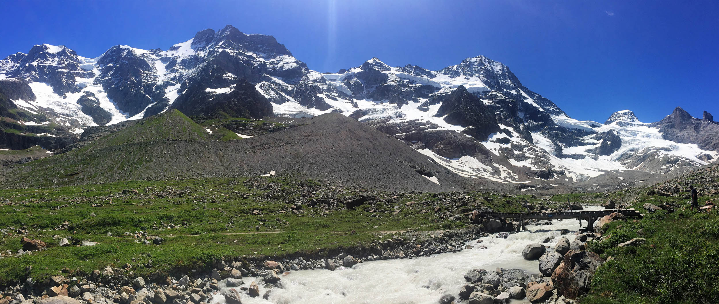
We crossed the Schmadri Stream to reach the Schmadri Hut.
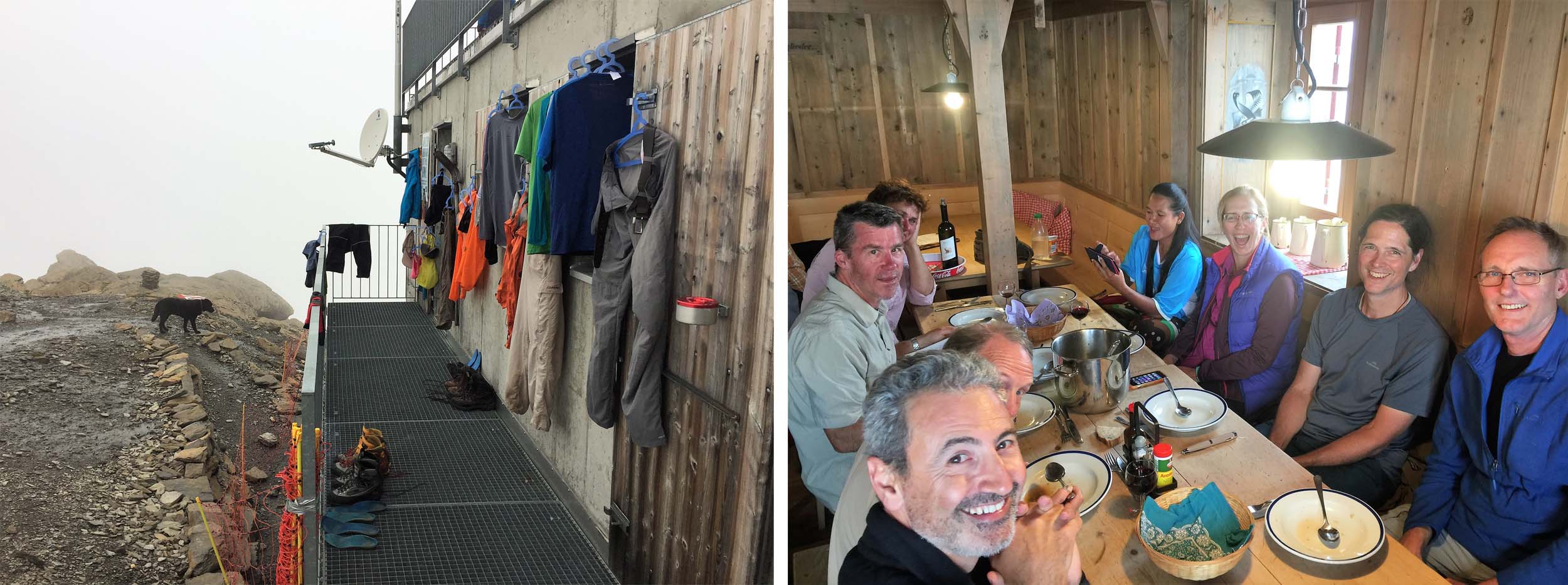
Making new friends at the Schmadri Hut.
It is a long three to four hour 1300 metre descent from the Schmadri Hut to Stechelberg and the Lauterbrunnen Valley floor.
July 19 – 22 2016 Murren – Rotstockhutte – Sefinenfugge (2612m) – Gspaltenhornhutte – Hohturli (2778m) – Blumisalphutte – Oeschinensee – (Cable Car) – Kandersteg
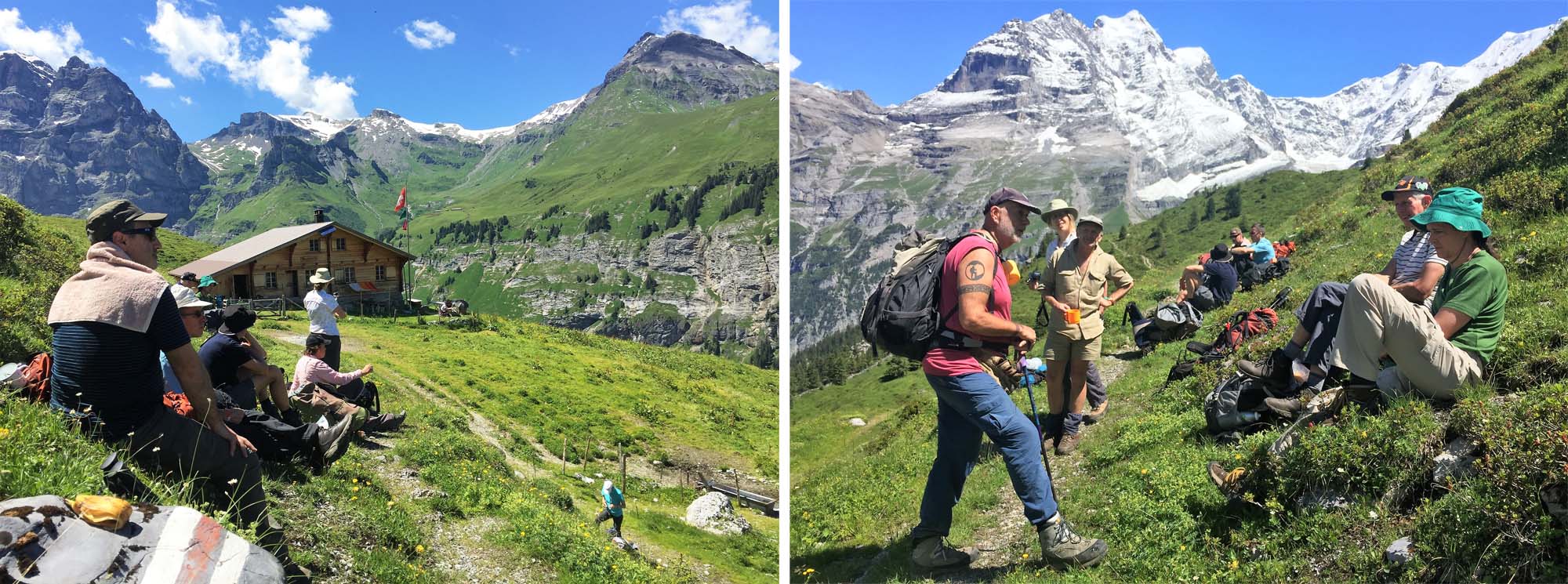
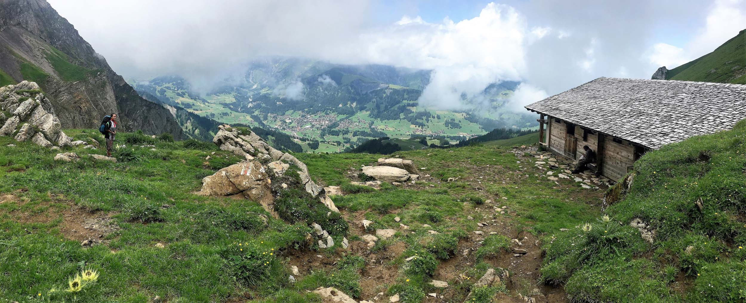
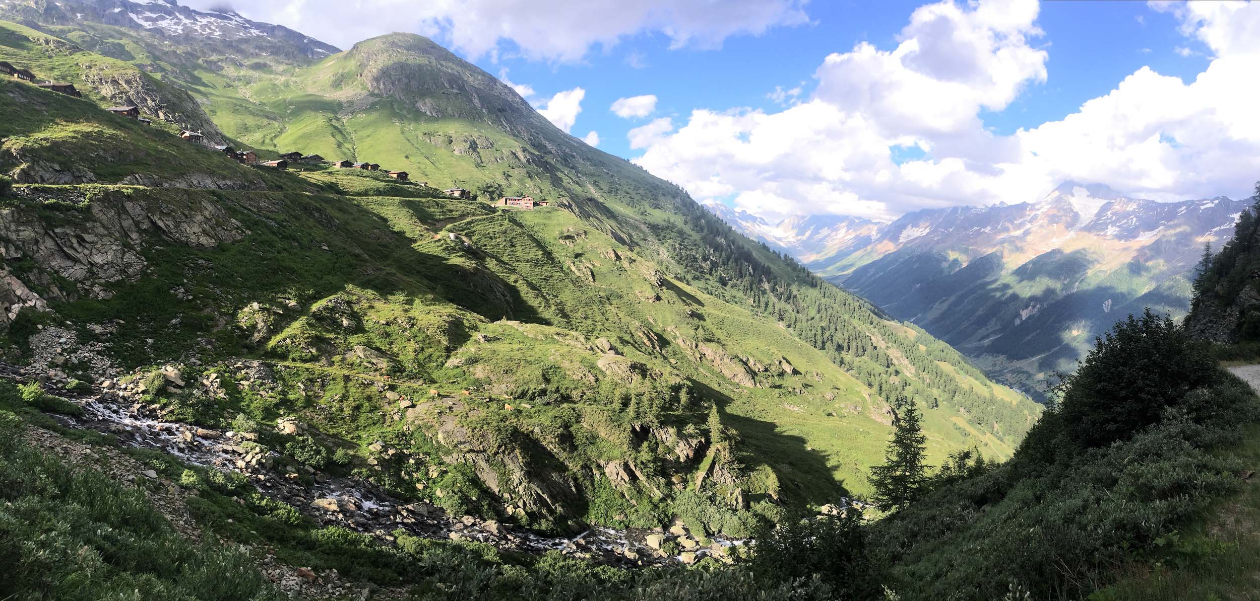
The Rotstock Hut is located beneath the Schilthorn and can be reached in an easy two hours from Murren. Leaving Murren in the afternoon and staying overnight at the Rotstock Hut gave us more time for crossing the Sefinenfurgge Pass the following day and contouring around to the spectacularly located Gspaltenhorn Hut.
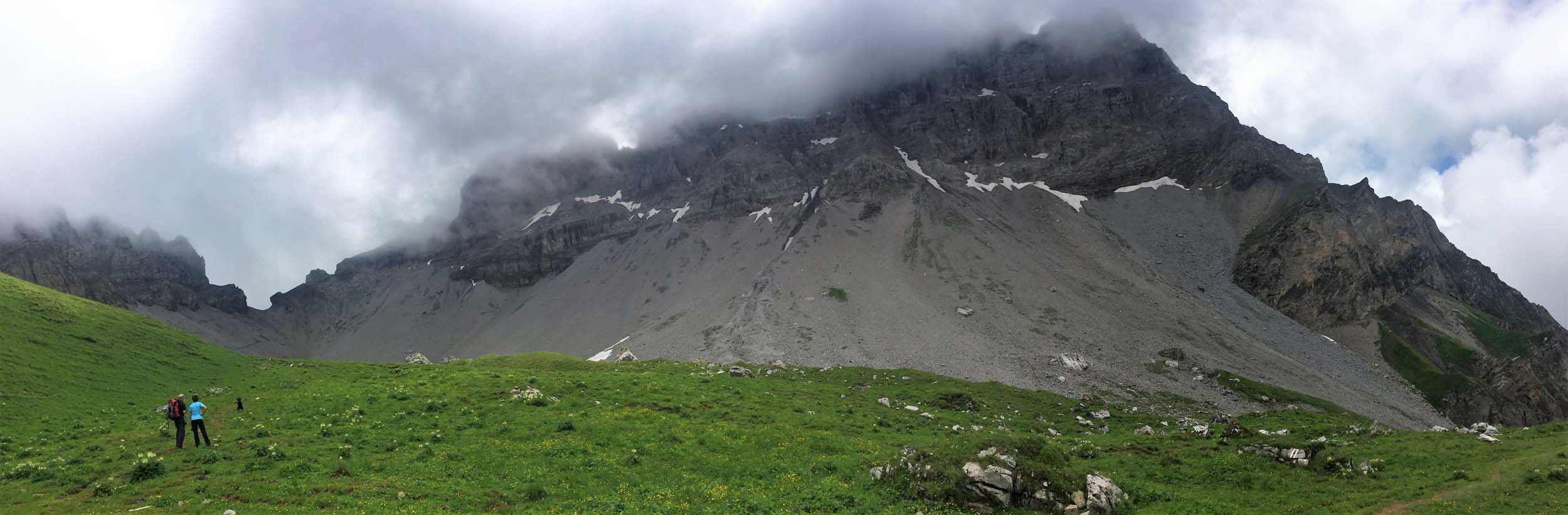
The next day it was dispiriting but necessary to descend and cross some rough terrain before a steep two hour 700m climb to the Hohturli Pass and the nearby Blumisalp Hut with tremendous views of the Blumisalp group together with nearby Glaciers just below the hut.
The Sefinenfurgge and Hohturli Passes are the highest and most challenging of the 16 passes on the famous Alpine Pass Route that traverses Switzerland and we were grateful we only had to cope with the ascents without being distracted by any rain or storms. I had once trekked up to the Blumisalp Hut from Kandesteg through rain and hail and I can testify that it was a truly miserable experience!
The following day we had a fairly benign descent under cloudy skies and only a little rain and passed the famous picturesque lake at Oeschinensee. After crossing two high passes on successive days and descending a thousand metres from the Blumisalp Hut we felt we were entitled to take the cable car down to Kandesteg with rain looking likely and saving us another 500 metres of descent much of it on a foot sapping tarmac road.
After eight days walking we were looking forward to a Rest Day in Kandesteg which is closely associated with the International Scouting movement. Interestingly enough none of us opted for the optional Day Hike to the Gemmi Pass that I had planned but at least my excuse was I had to go back to the Lauterbrunnen Valley by train to collect my car so it would be in Kandersteg at the end of our hike.
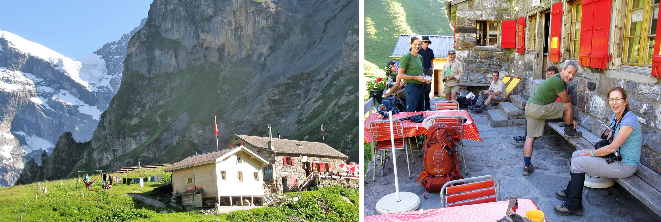
The Rotstock Hut is an easy two and a half hour walk from Murren.

Delightful scenery after departing the Rotstock Hut.

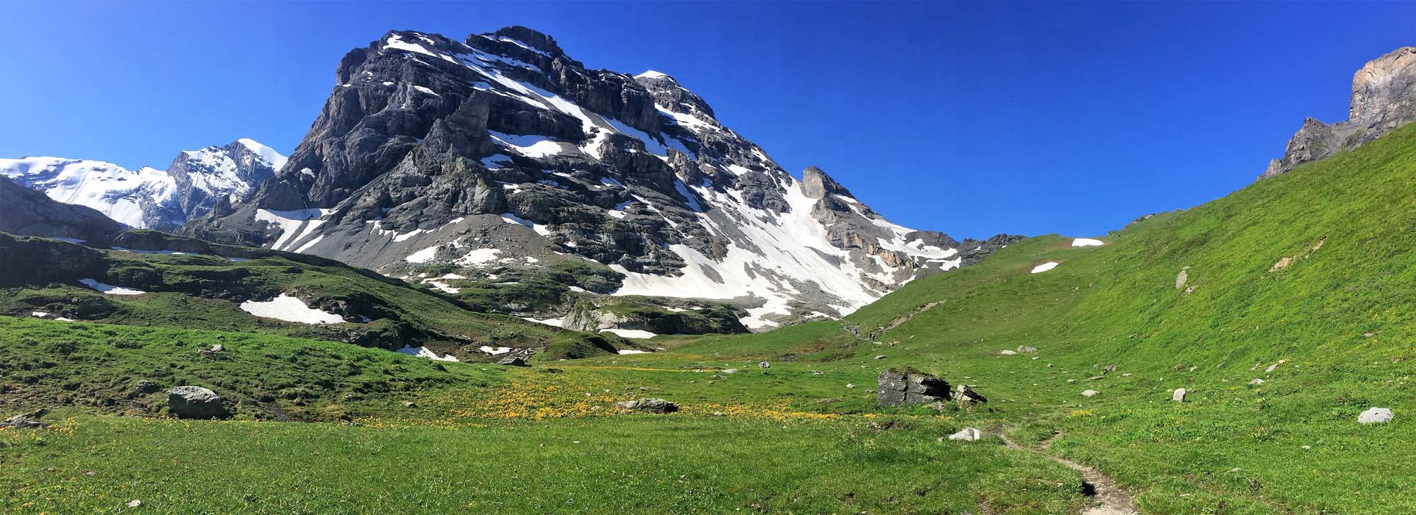
Heading towards the Sefinenfurgge Pass from the Rotstock Hut
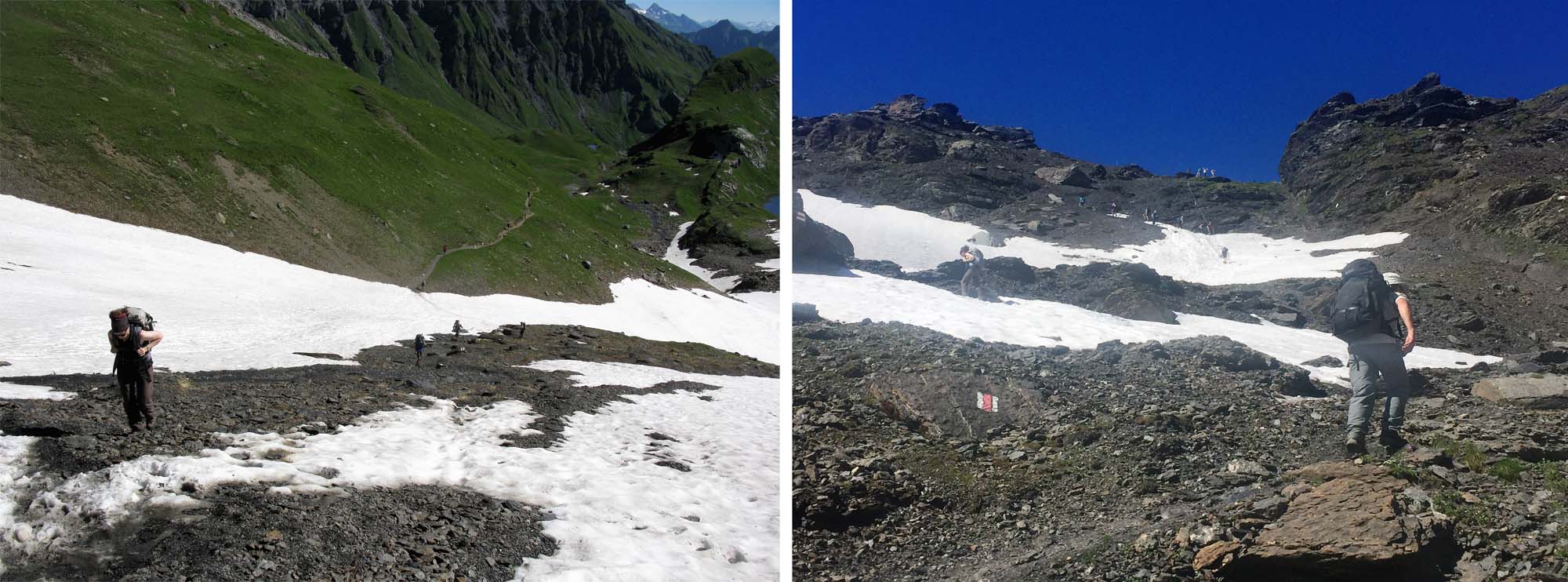
The final approach to the Sefinenfurgge
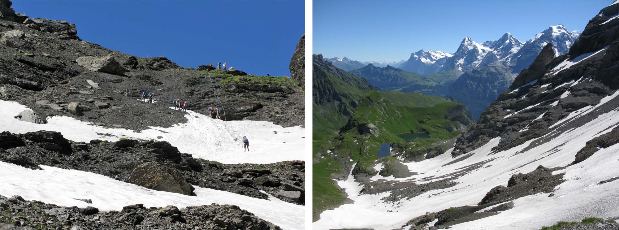
At the Sefinenfurgge 2612m

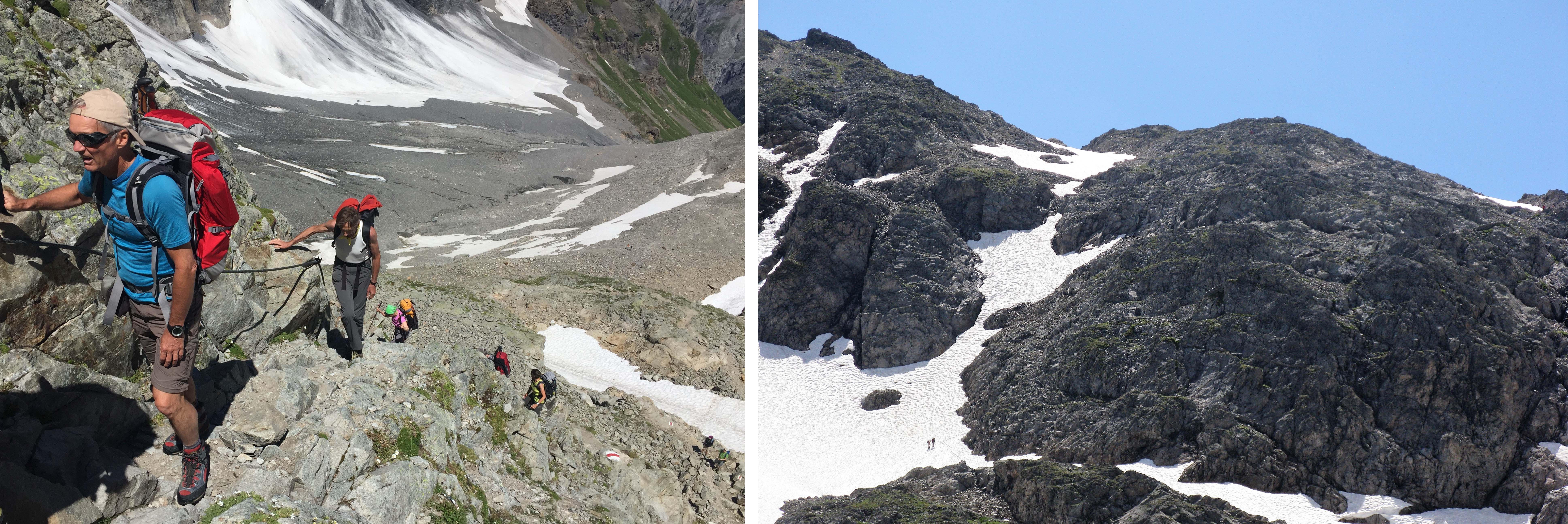
The hike from the Sefinenfurgge to the Gspaltenhorn Hut is truly spectacular and not as exposed as the images indicate!
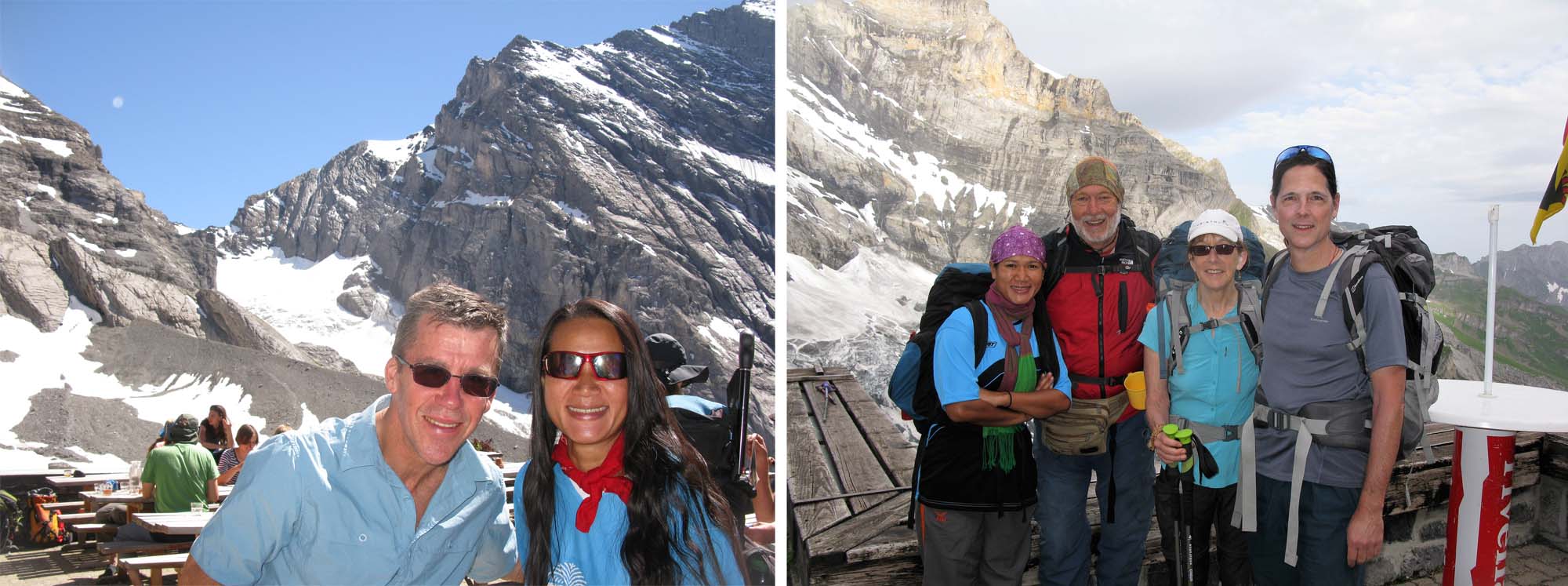
Four nationalities – Thai, British, Canadian and Australian- at the Gspaltenhorn Hut

We had some rough terrain to traverse below the Gspaltenhorn Hut
It was a long steep 700 metre climb to the Hohturli Pass
The Blumisalp Hut is situated just 5 minutes above the Hohturli Pass

Descending towards Kandesteg with the Blumisalp group on the left

The pretty Oeschinensee is considered one of the jewels of the Alps – even when it is overcast.
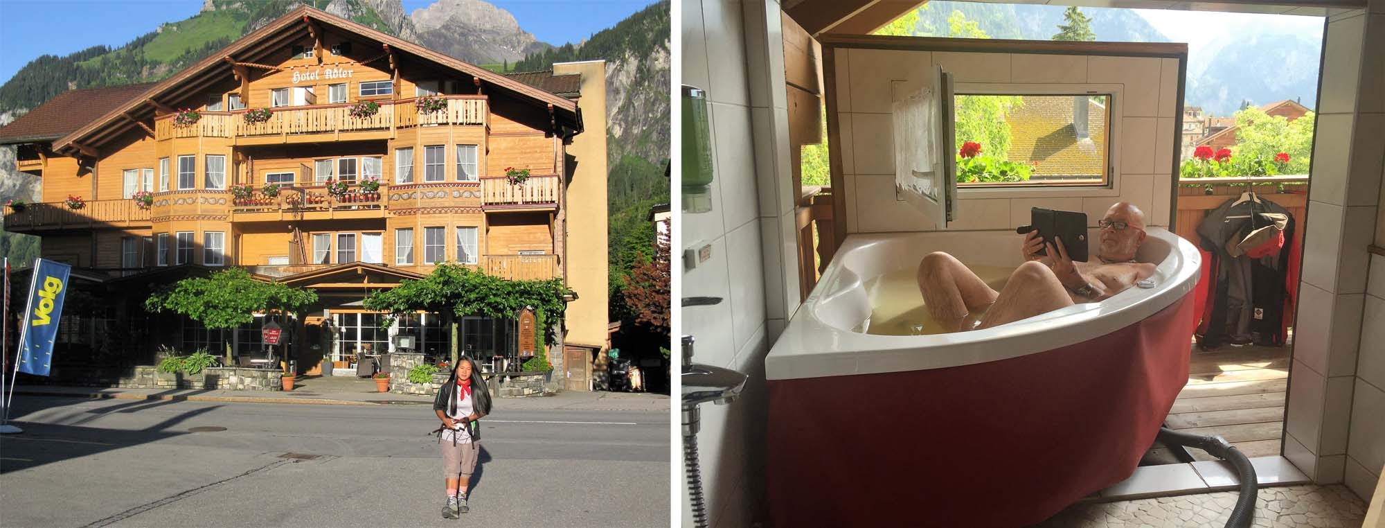
In Kandersteg most of our group stayed at the International Scouting Centre as they were all boys at heart (!) but yours truly opted for some added comforts at the Hotel Adler where what I thought was the whirlpool switch actually repositioned the bath on the balcony! Not a pretty sight!
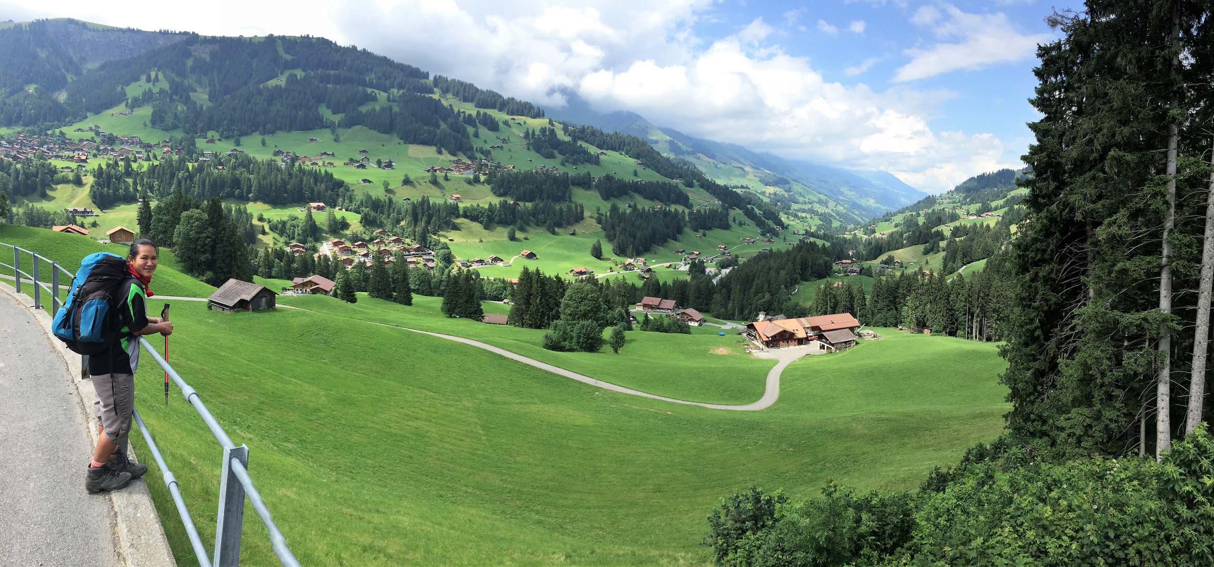
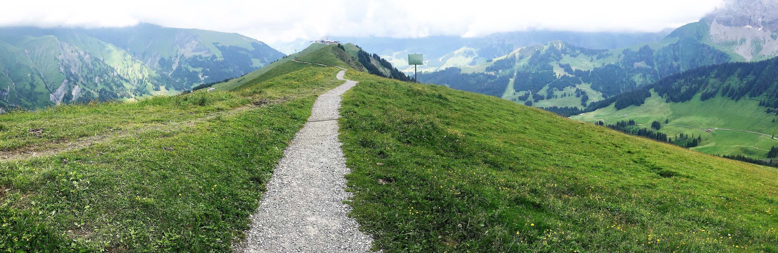
July 24 -25 2016 Kandersteg – (Cable Car) – Allmenalp – Bunderchrinde (2385m) – Adelboden – Hahnenmoos (1950m) – Lenk
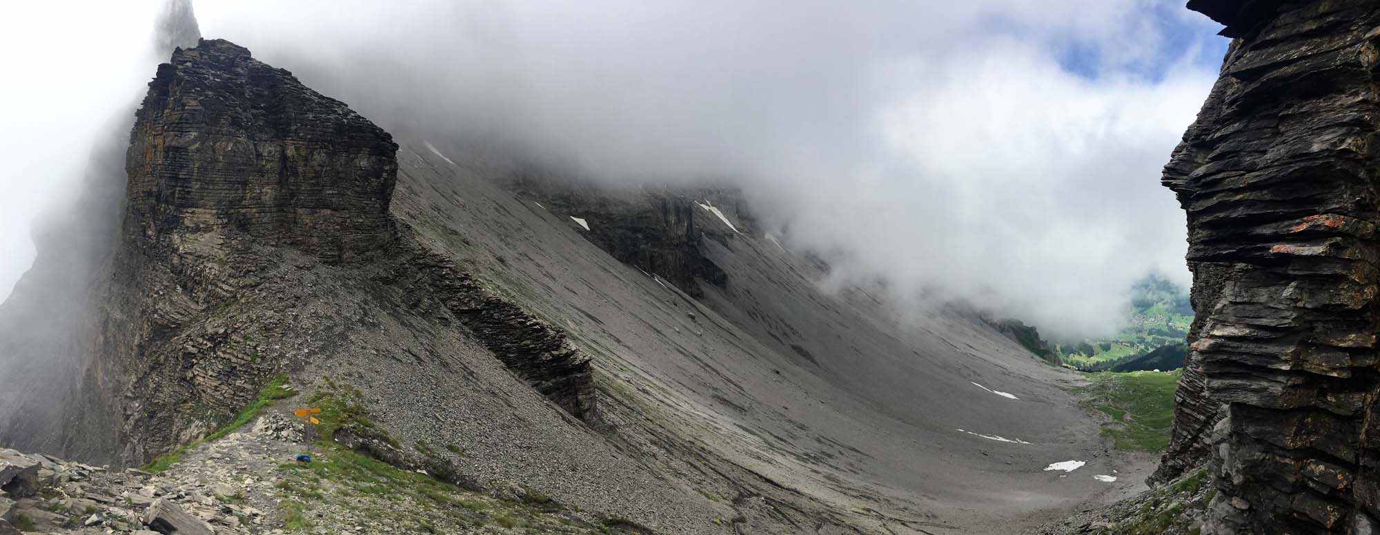
From Kandersteg onwards we were finally on the Wildstrubel Circuit although for the first two Days our trail was shared by the Alpine Pass Route. And we saved ourselves a 550 metre climb by taking the Cable Car out of Kandesteg up to Allmenalp. This was in theory and practice the easiest section of our route but notwithstanding this, the approach to the Bunderchrinde was covered by heavy cloud and some of our group, by design, crossed a neighbouring pass before descending to Adelboden, a thriving year round resort which is also associated with the Girl Guides movement
The following day I missed the sign for the Hahnenmoos and ended up further along the ridge and with a couple of extra kilometres to walk. Meanwhile as the slopes between Adelboden and Lenk are a very popular winter and summer holiday area, some of the speedier and fitter members of our group could not resist the appeal of renting an E Bike/Scooter to play on the slopes below the Pass. And a few others could not resist the temptation of the Postbus to ferry them down to Lenk where Paul had booked us into a self-catering outdoor activities facility. I think we were the only guests!

Heading towards the Bunderchrinde after taking the cable car to Allmenalp
Looking back towards the Hohturli Pass (left of centre) that we had crossed two days previously
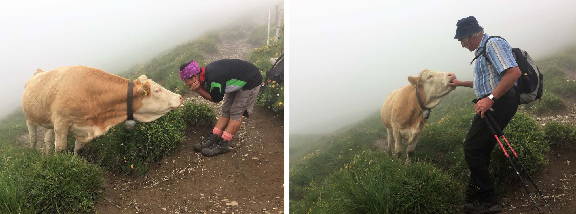
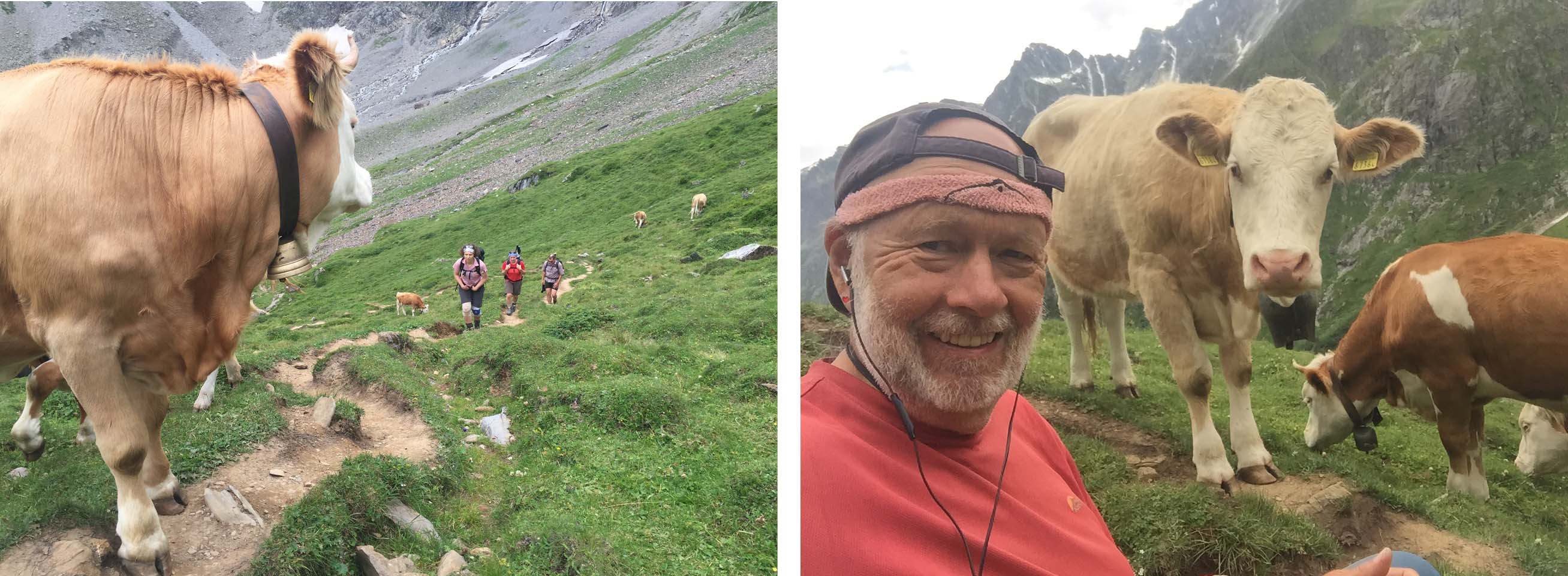
Meeting the locals

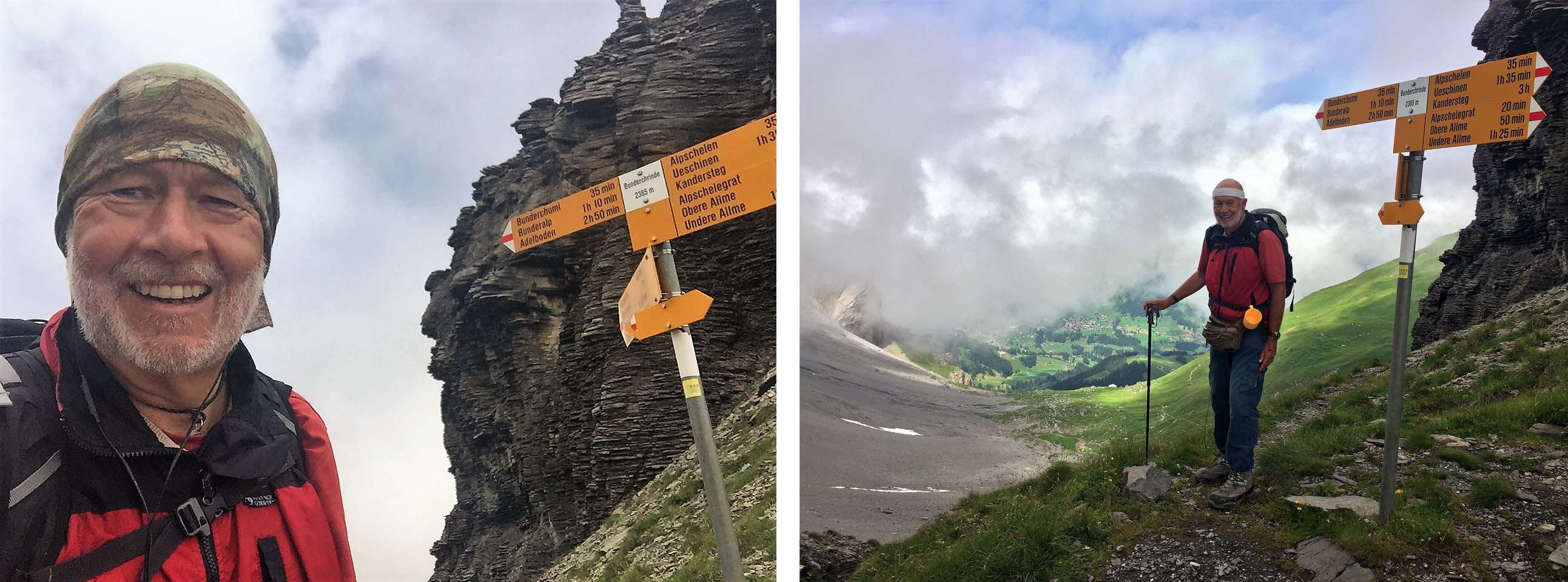
At the Bunderchrinde 2385m with another 3 hours to go to Adelboden
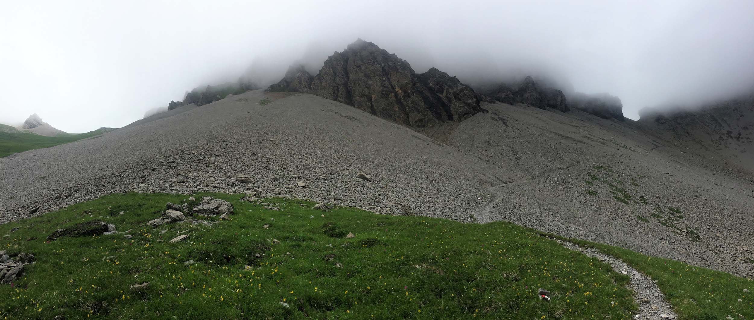
Looking back as we descend from the Bunderchrinde with the pass clearly visible
Hiker and Herdsman at an Alp above Adelboden
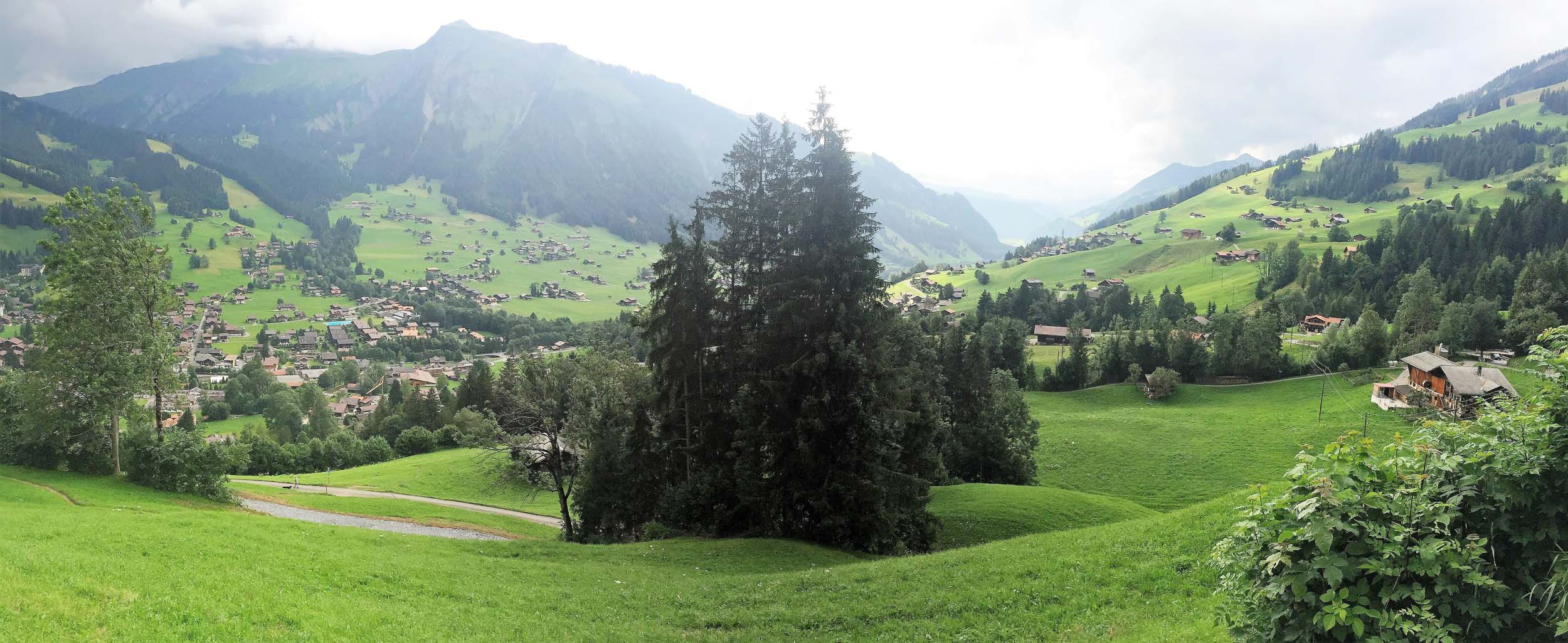
Arriving at Adelboden…….. but our hotel was to be found at the far side of the village so we still had a ways to go!
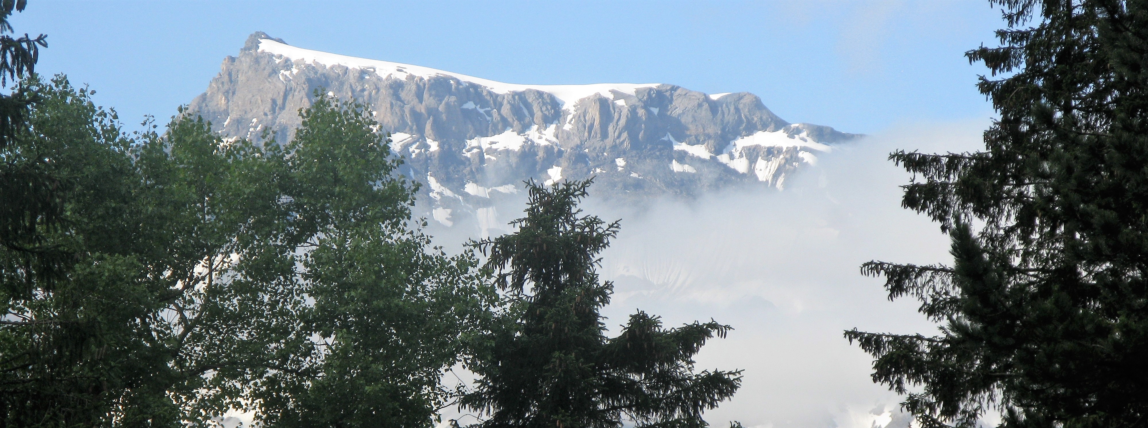
Our first view of the Wildstrubel from near our hotel in Adelboden
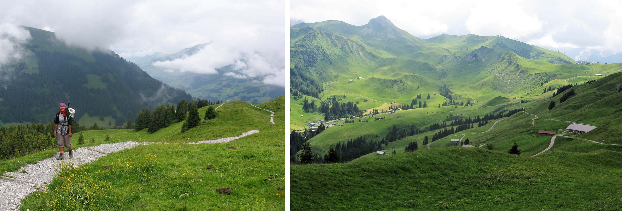
The walking between Adelboden and Lenk was quite gentle but our halfway destination of Hahnenmoos was the group of buildings to the right on the ridge. I had missed a sign and taken an incorrect path!
Following the ridge to Hahnenmoos and the descent to Lenk
Lenk
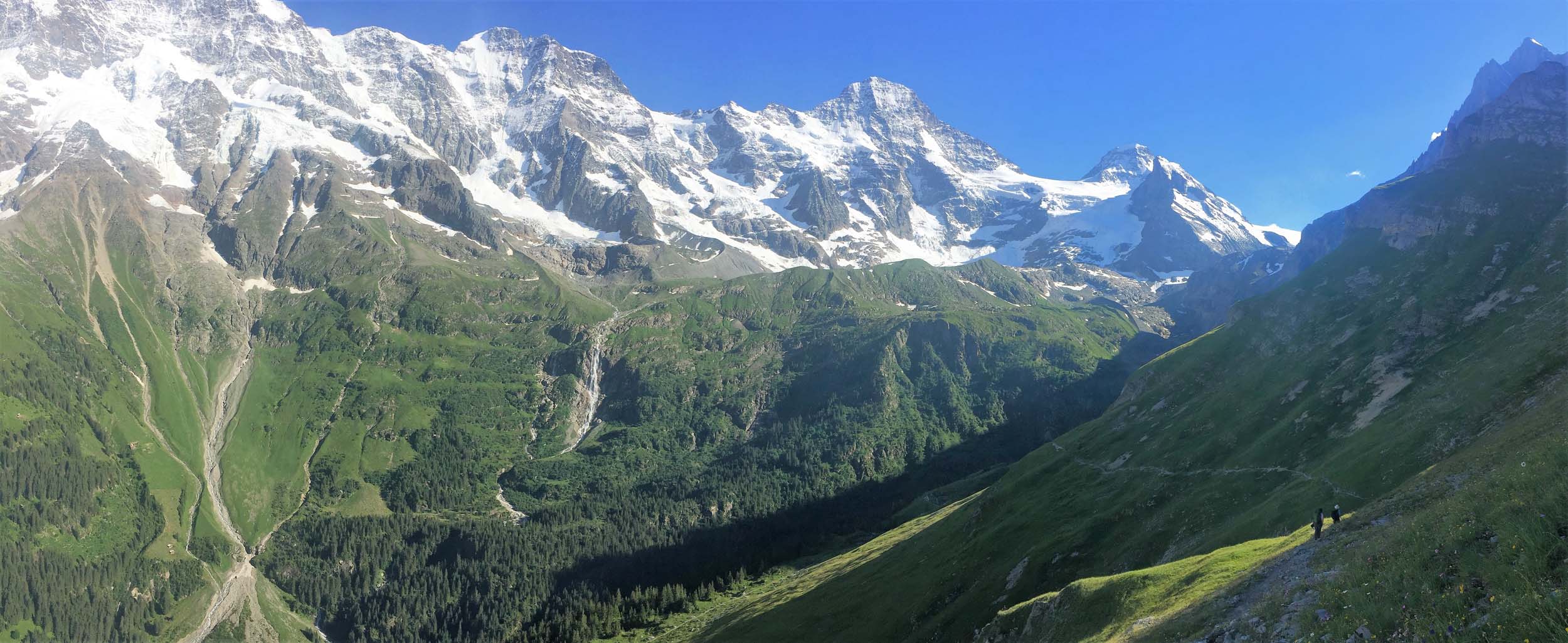
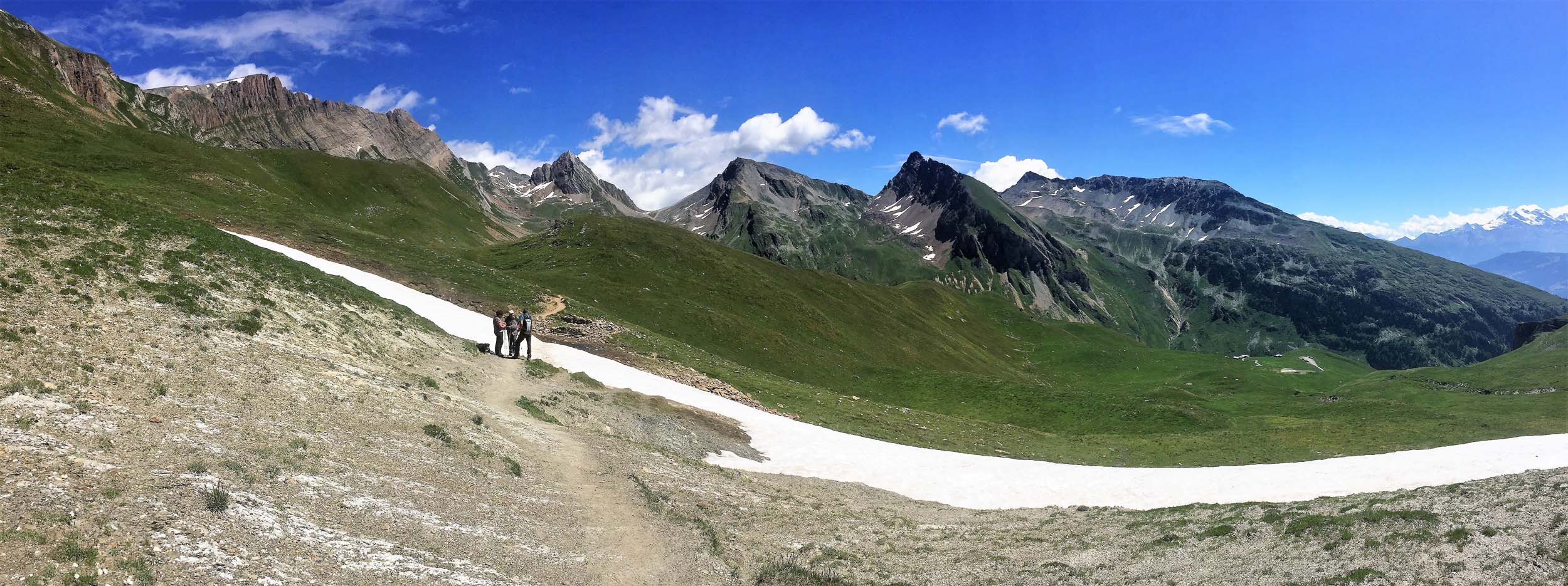
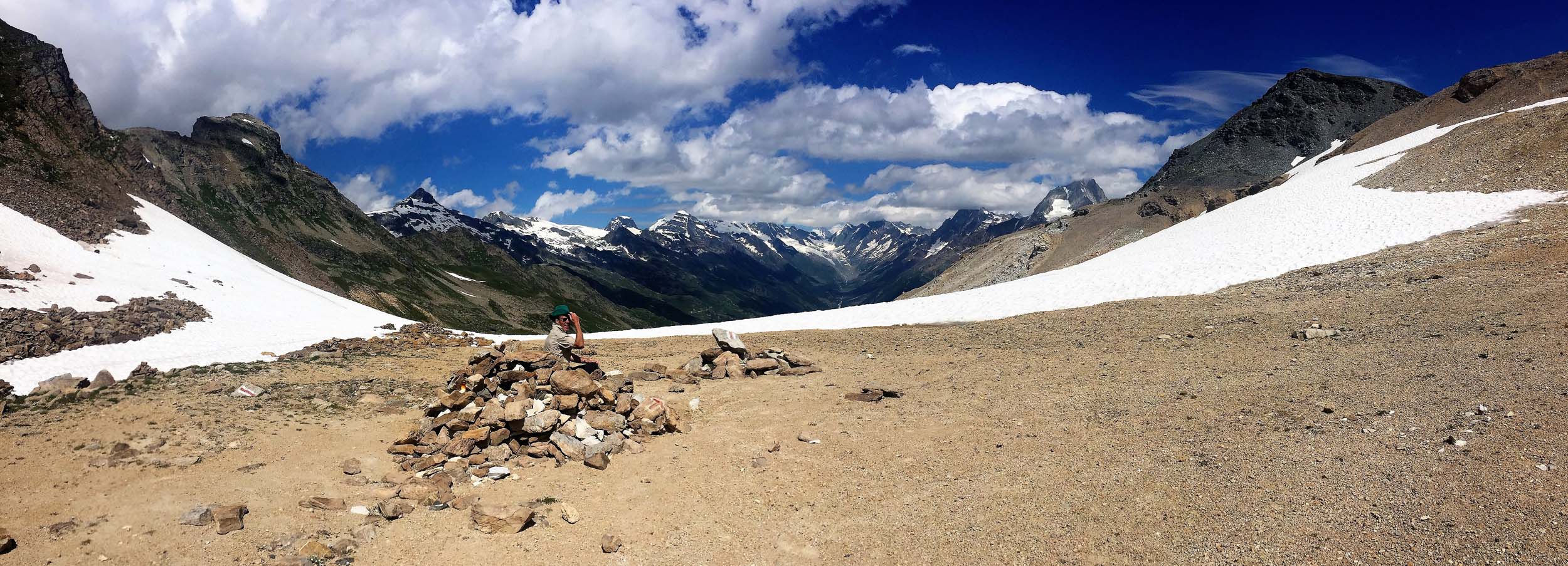
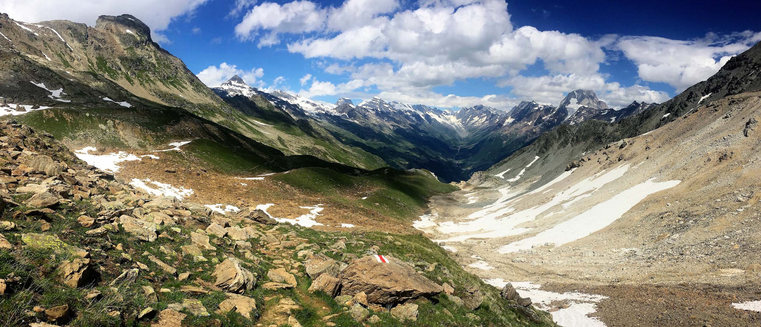
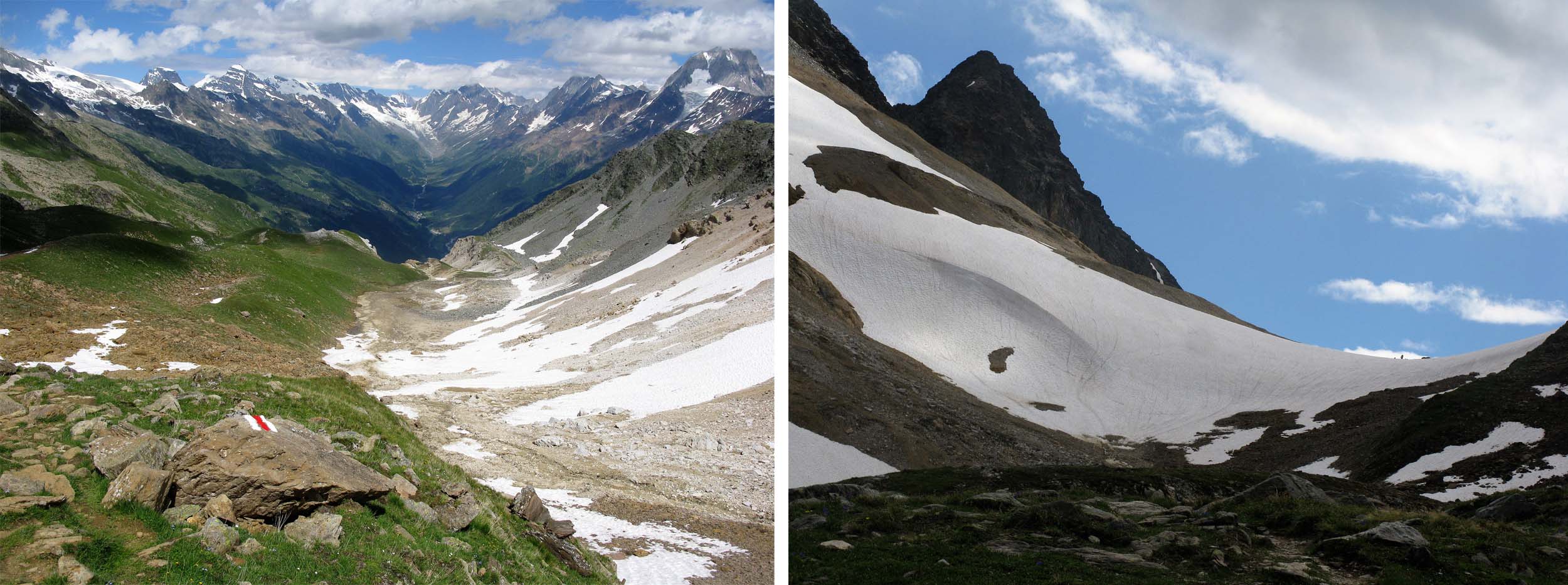
July 26 – 28 2016 Lenk – (Bus) – Iffigenalp – Wildstrubelhutte – Plaine Morte (2927m) – Crans Montana – Leukerbad
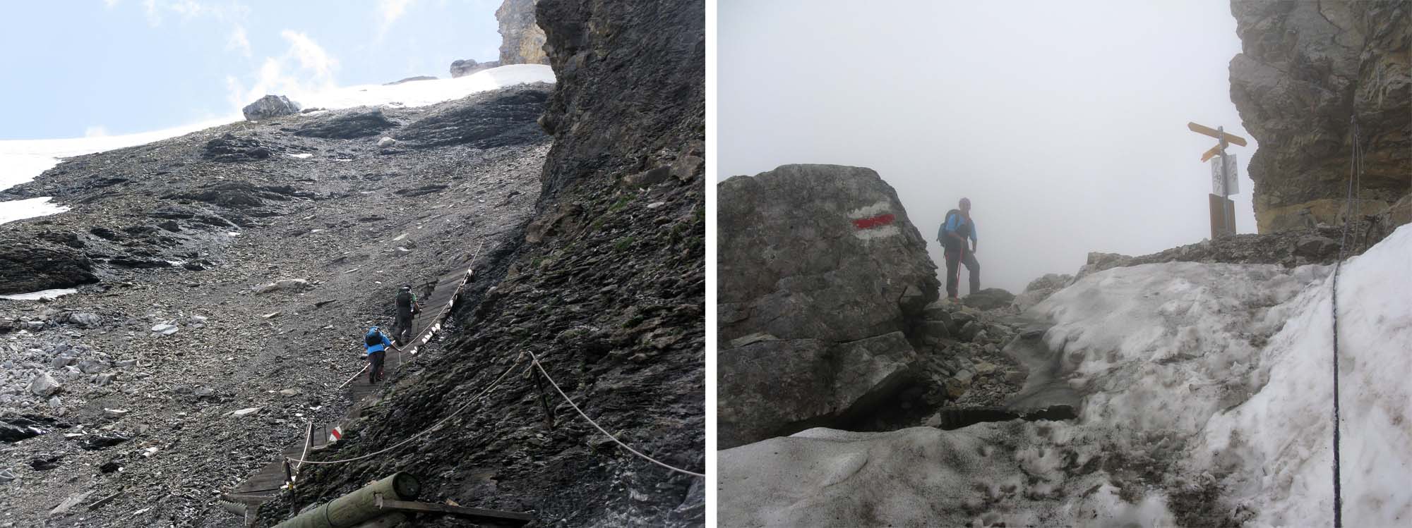
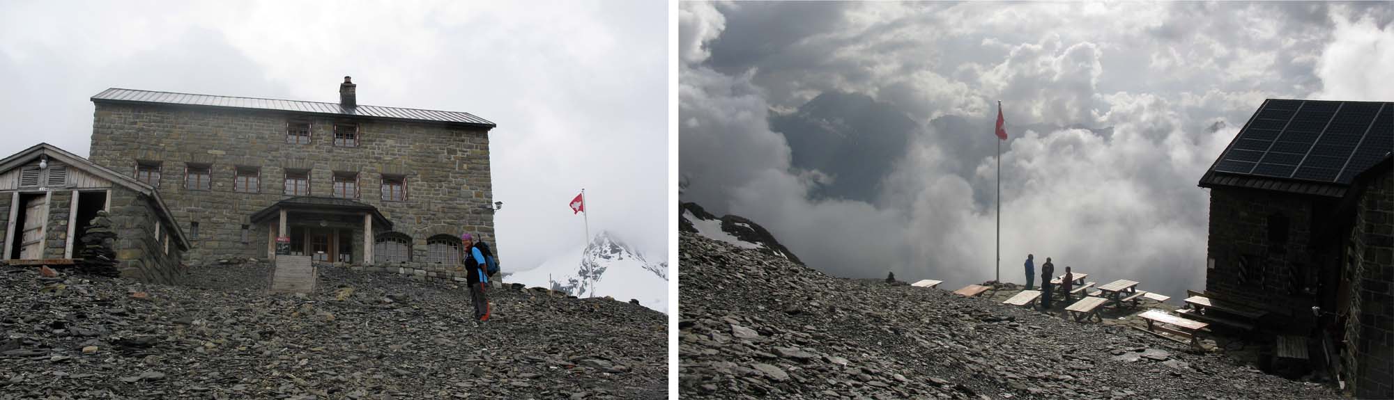
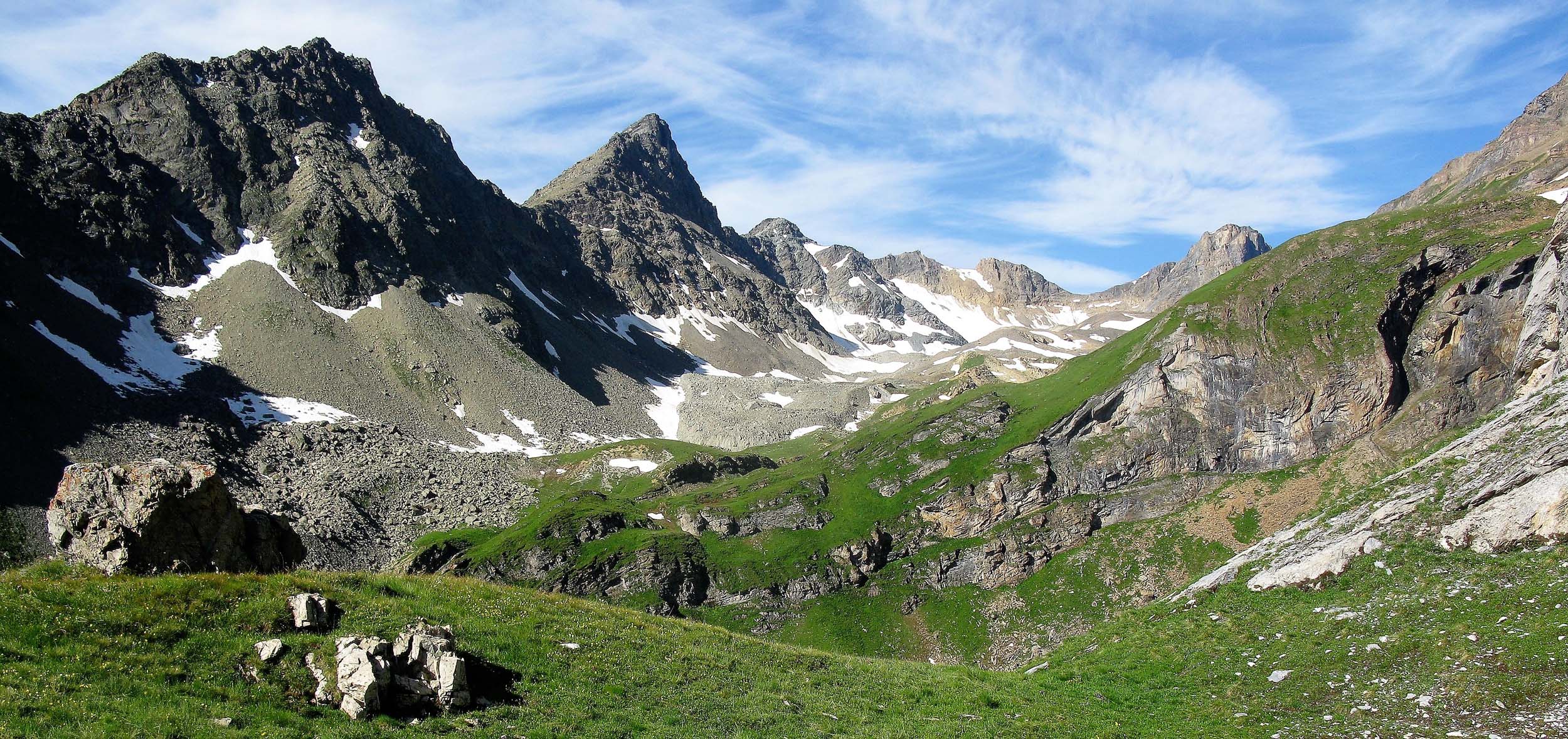
We took the Postbus from Lenk to Iffigenalp as we had nothing to gain by walking 10km along a valley trail that followed the road and we wanted to put all our efforts into the steep 1200m climb to the Wildstrubel Hut which was really the crux of our 15-day walk. Unfortunately most of us were still on the trail and close to the snow and ice covered Rawilseeleni Lakes when the weather suddenly worsened and we were hit with 50 minutes of heavy rain and hail. I was soaked before I could open my pack and get my wet weather gear out!
I lost my bearings momentarily and ended up on the trail to Tierbergsattel, following a chair lift. I was pretty sure there was no chair lift in the vicinity of the Wildstrubel Hut and was about to consult my map as the rain stopped and I saw some hikers heading in what I surmised was the correct direction. I caught up Paul and his wife Phil and we made our way up the steep snow covered final slopes to the Hut.
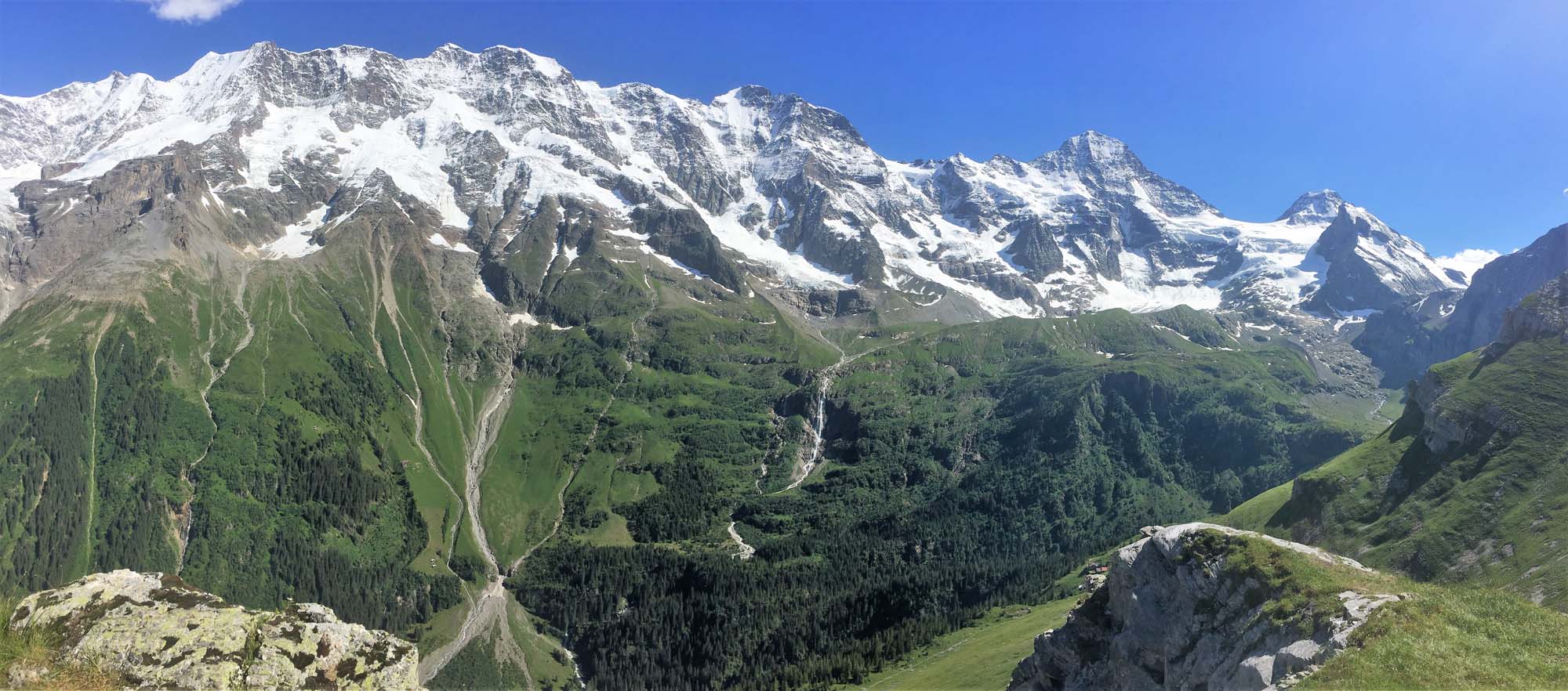
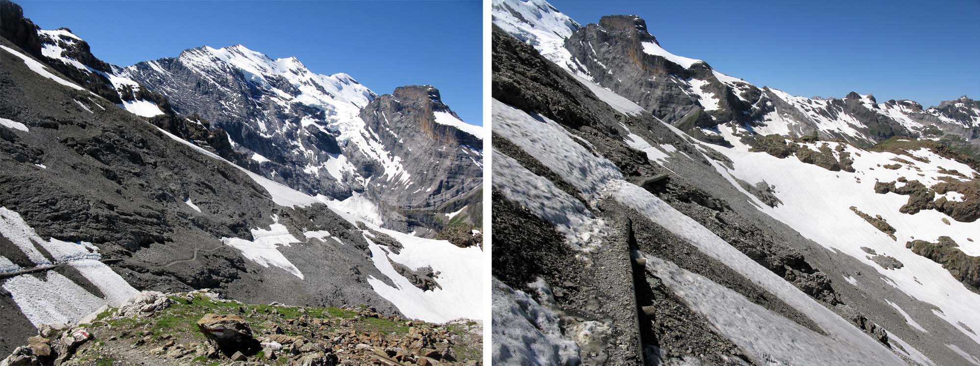
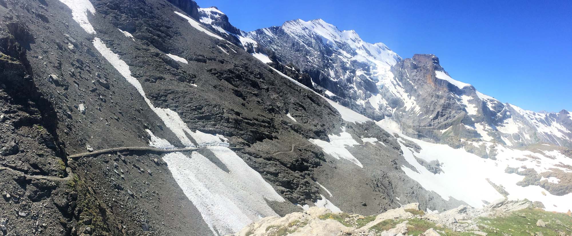
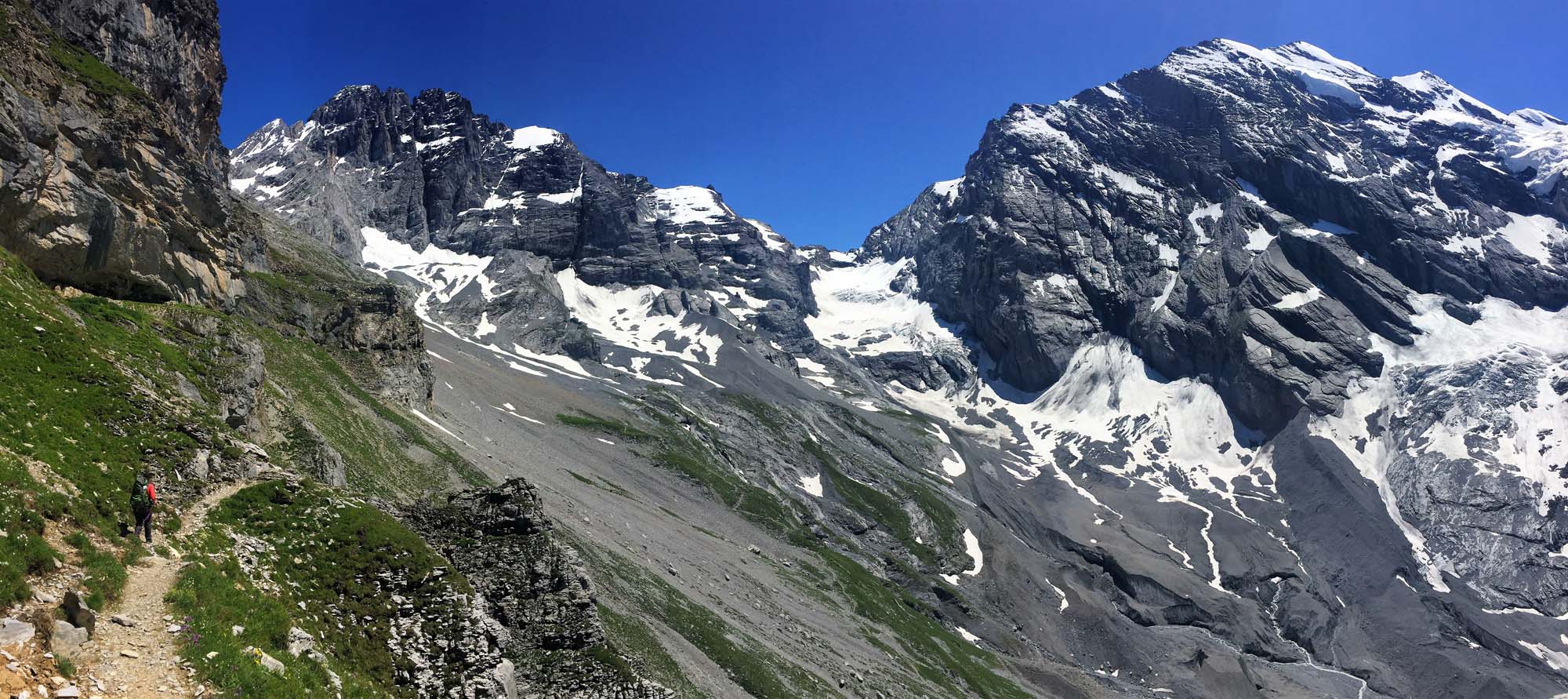
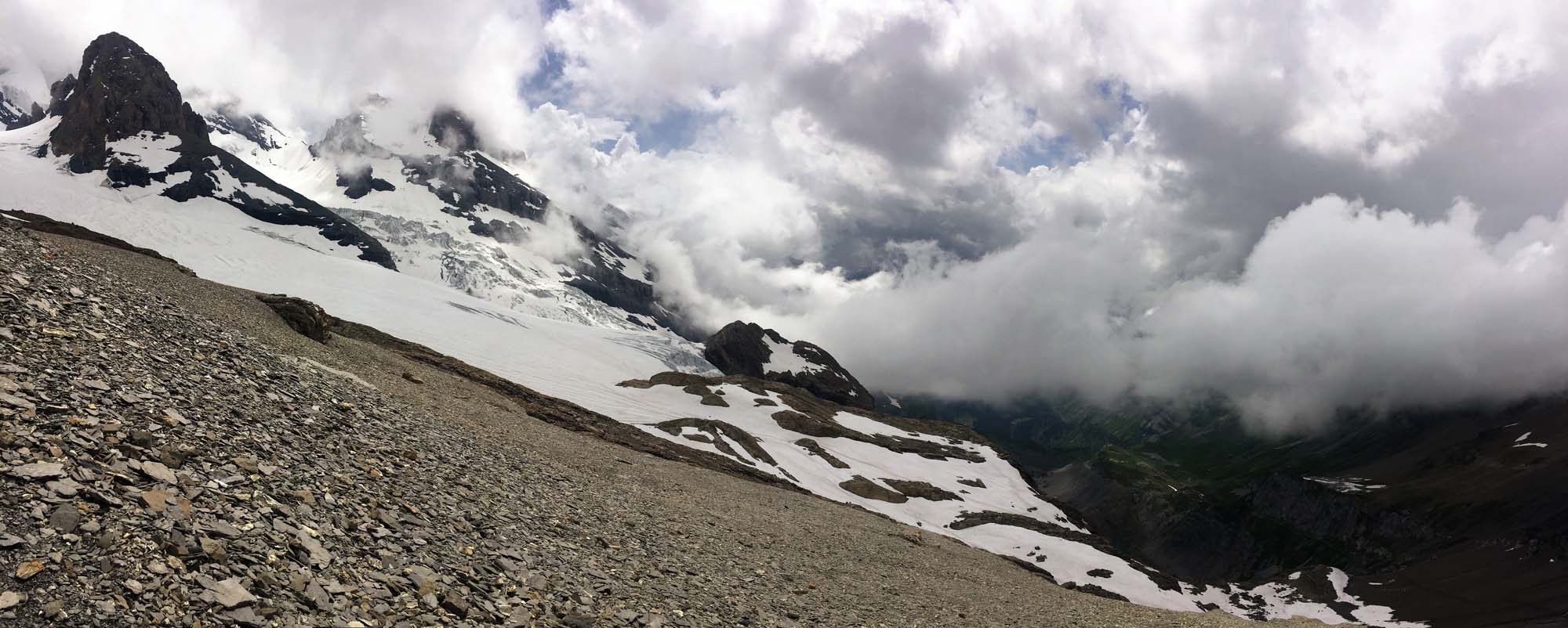
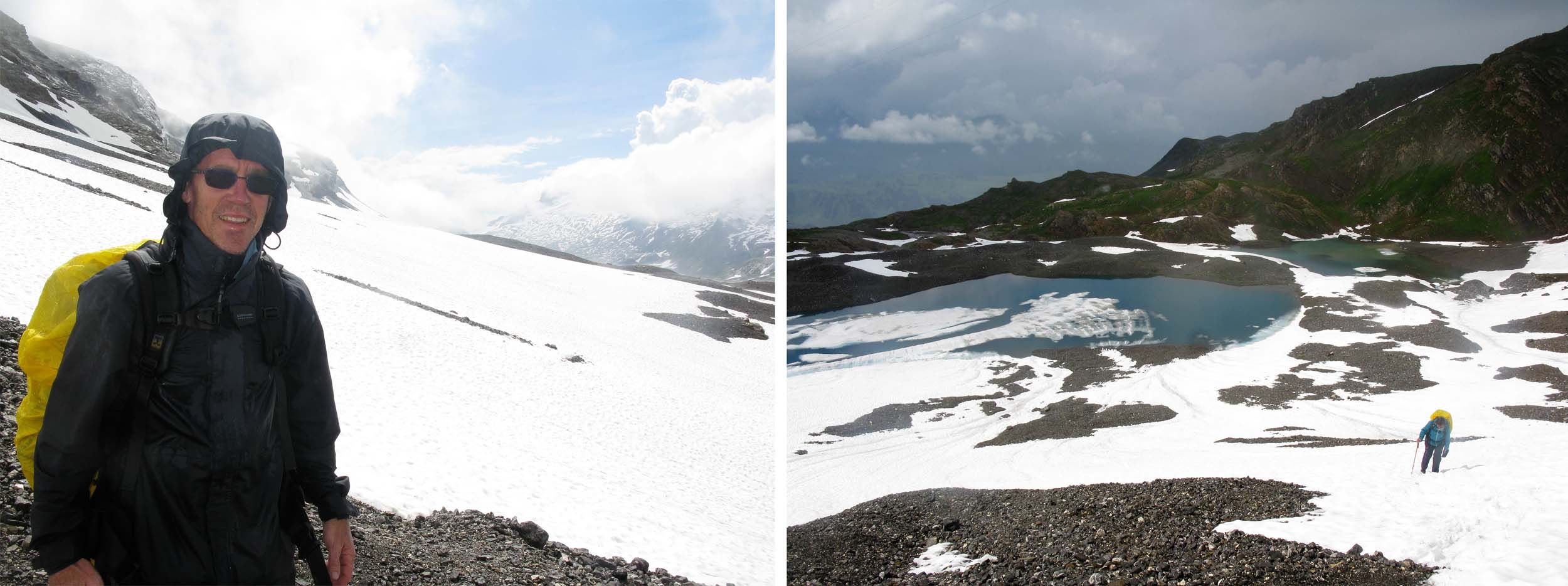
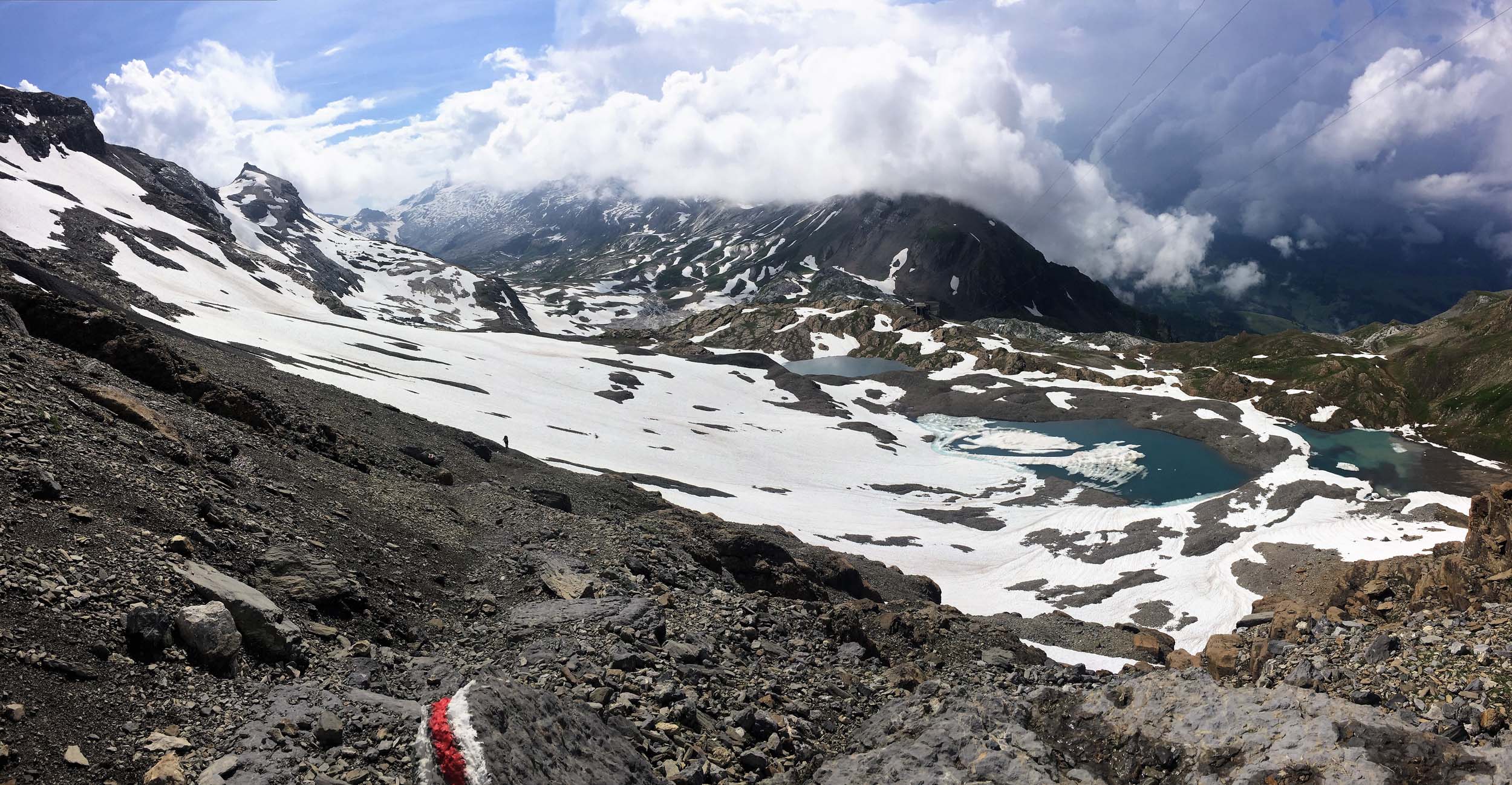
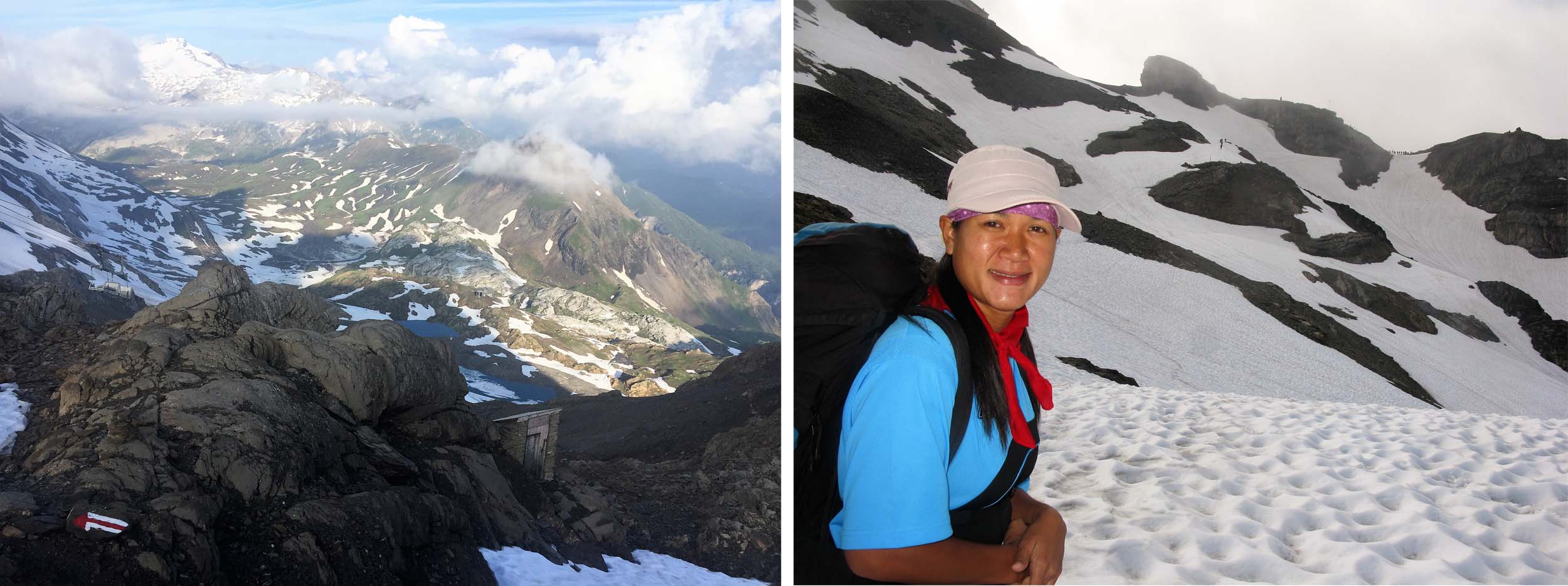
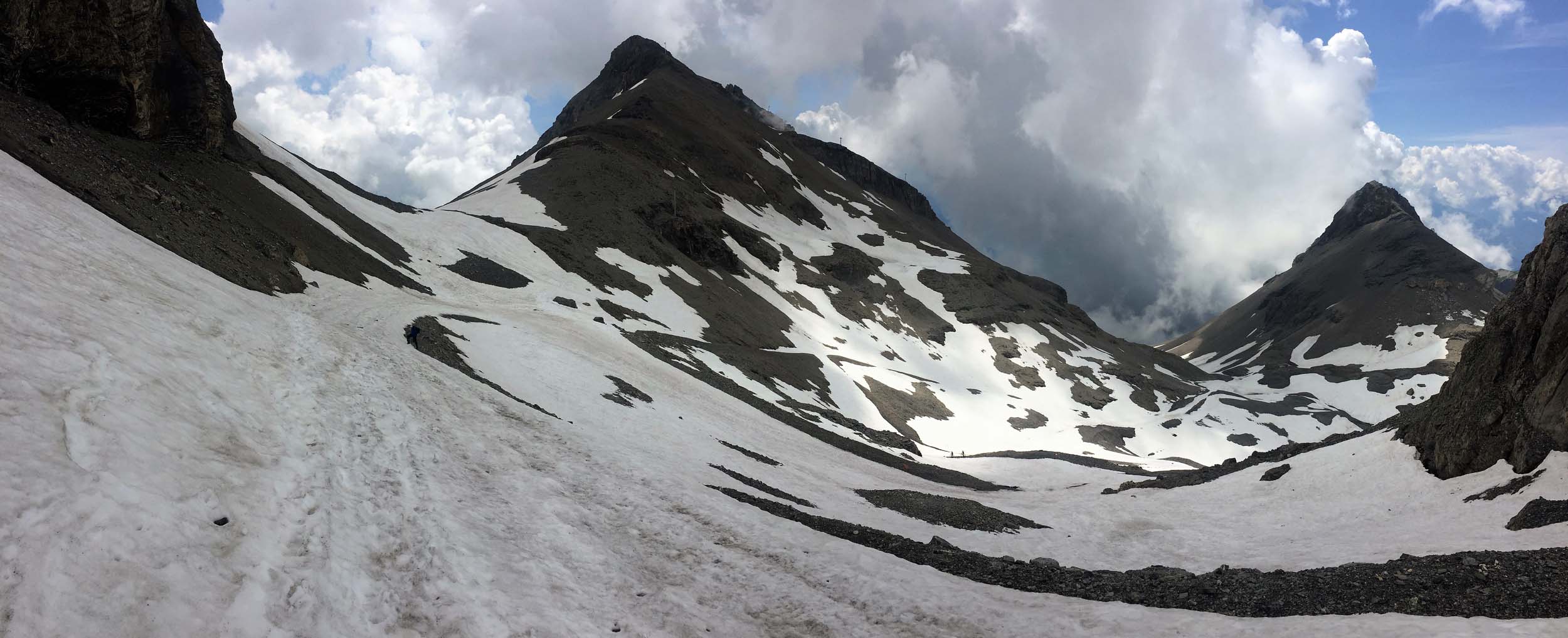
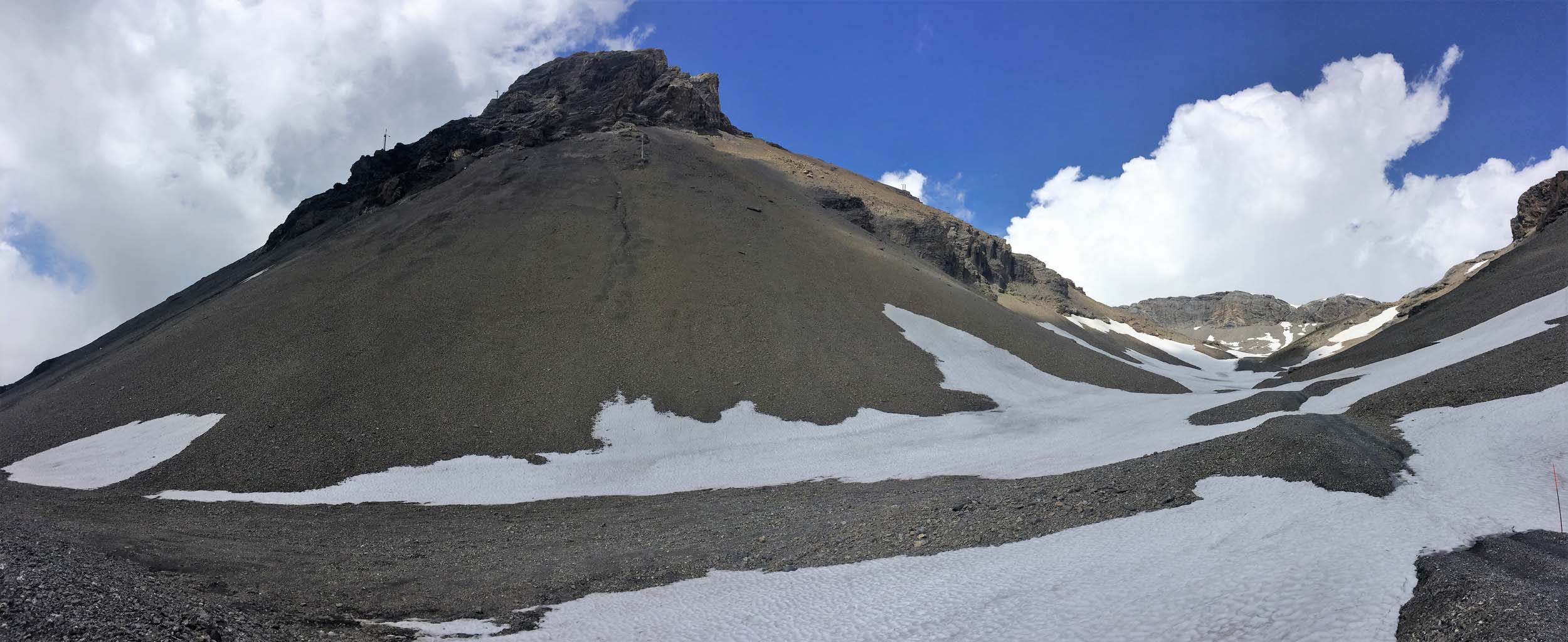
The following day we climbed up through some partially covered snow slopes to the edge of the Glacier de la Plaine Morte (more a large ice field) which was also the terminus for the main cable car bringing skiers up from our destination Crans Montana.
We had now crossed the spine of the Bernese Alps and were descending into the Valais, a French speaking Canton of Switzerland, and at this point most of the group took the Cable Car down to the Cabane des Violettes, which saved 600 metres of descent and left them with just 600 metres to descend to Montana and our hotel.
For our sins Ampai and myself, who had started after the others had left the Wildstriubel Hut, teamed up with a Swiss guy who was alone, as we reckoned there was safety in numbers when the trail and route was snow covered and we descended the entire 1300 metres to Montana. I bathed my feet in a stream halfway and removed my boots and put on my trainers as soon as we hit the village road!
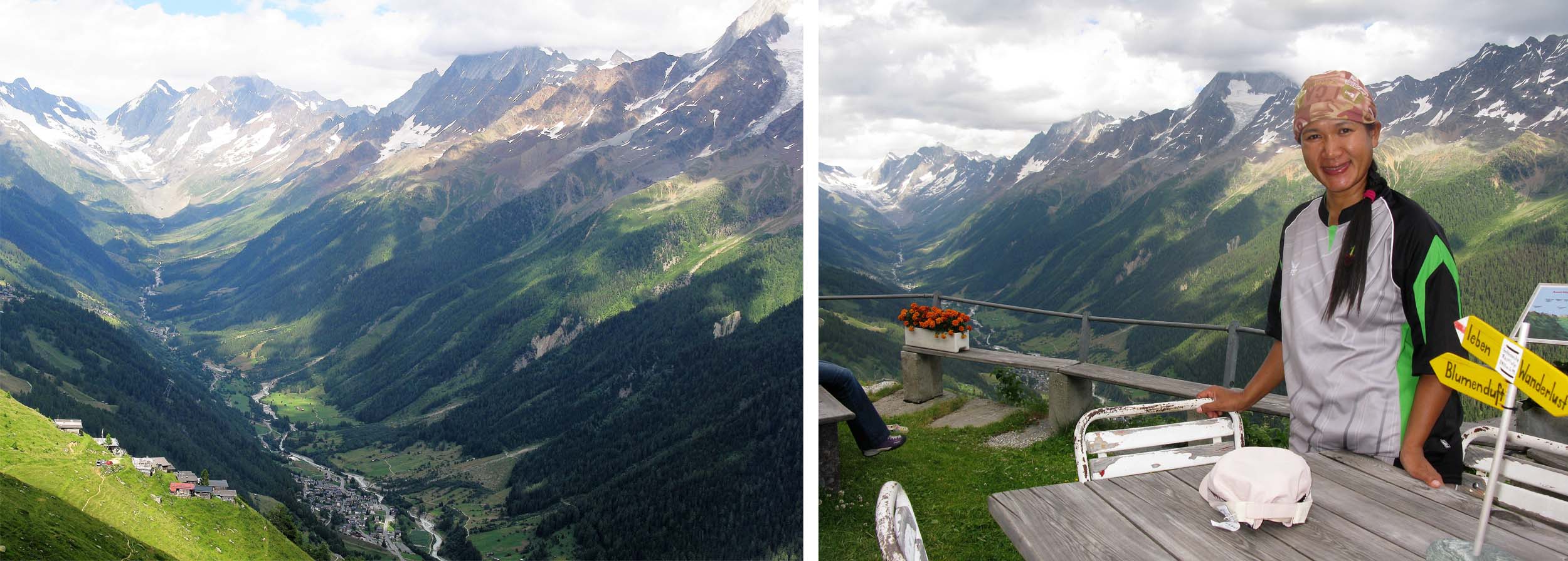
The following day the rest of the group took the train and bus to our destination Leukerbad (back in German speaking Switzerland), the largest thermal Spa Resort in the Alps and our hotel included free admission.
A day in the Spa seemed most attractive, but Ampai and I decided to walk, as I was keen to walk high above the Rhone Valley, looking across at the many famous peaks of the Pennine Alps to the south of the Rhone.
It was a pleasant but long walk and made even longer when I misinterpreted the direction a signpost was pointing, which cost us an extra couple of kilometres and an hour and we eventually reached our hotel at about 2030 to discover our very clean and nice smelling groupmates who had enjoyed an afternoon at the Hot Spring Baths.
As an amusing aside, I stayed at the same hotel with three other friends a year later. And again I set off after the others, this time in the opposite direction and coming from the east over the Restipass. This time we did not get lost, but missed the last cable car down to Leukerbad, so found an alternative route and a kind man who gave us a lift.
The Swiss are very punctual and always eat early so I phoned my dinner order in and the hoteliers were most amused when I turned up and was the same guy who had been late and who had also phoned his dinner order in the previous year!
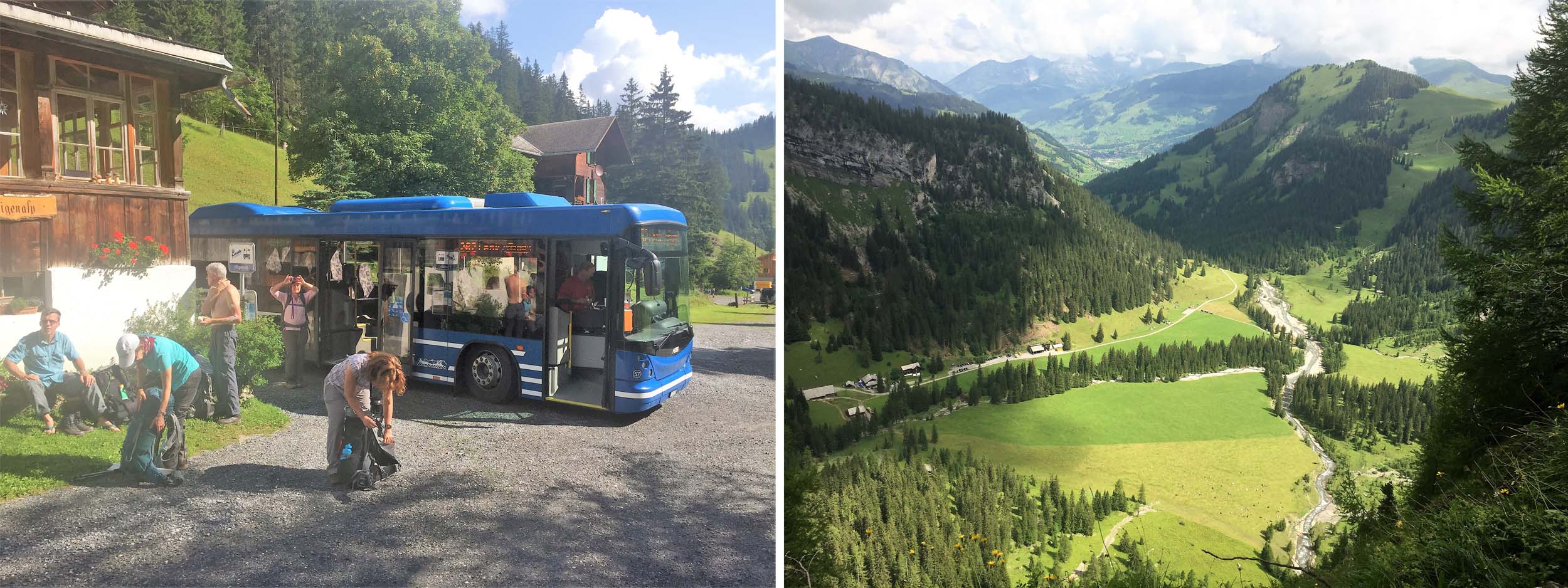
After taking the Postbus to Iffigenalp we started a long climb to the Wildstrubel Hut.
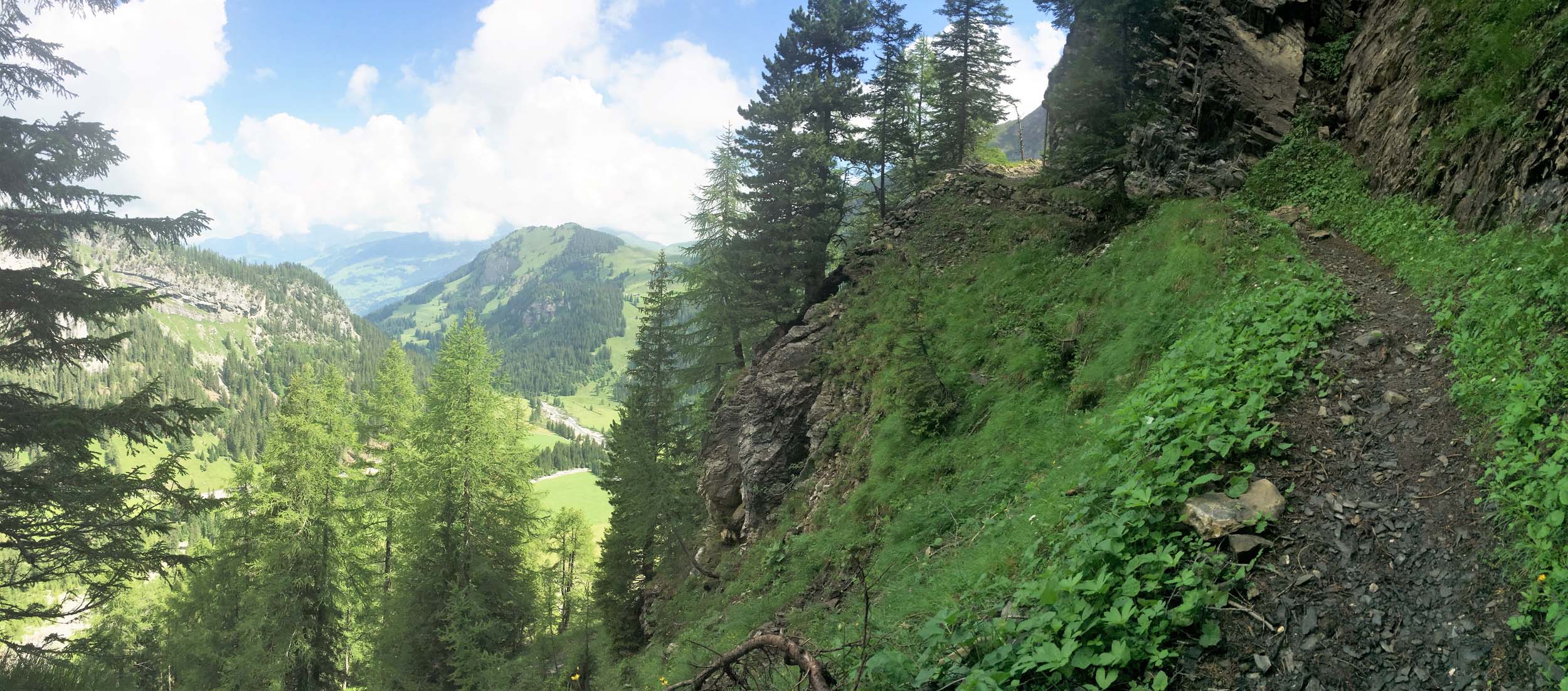


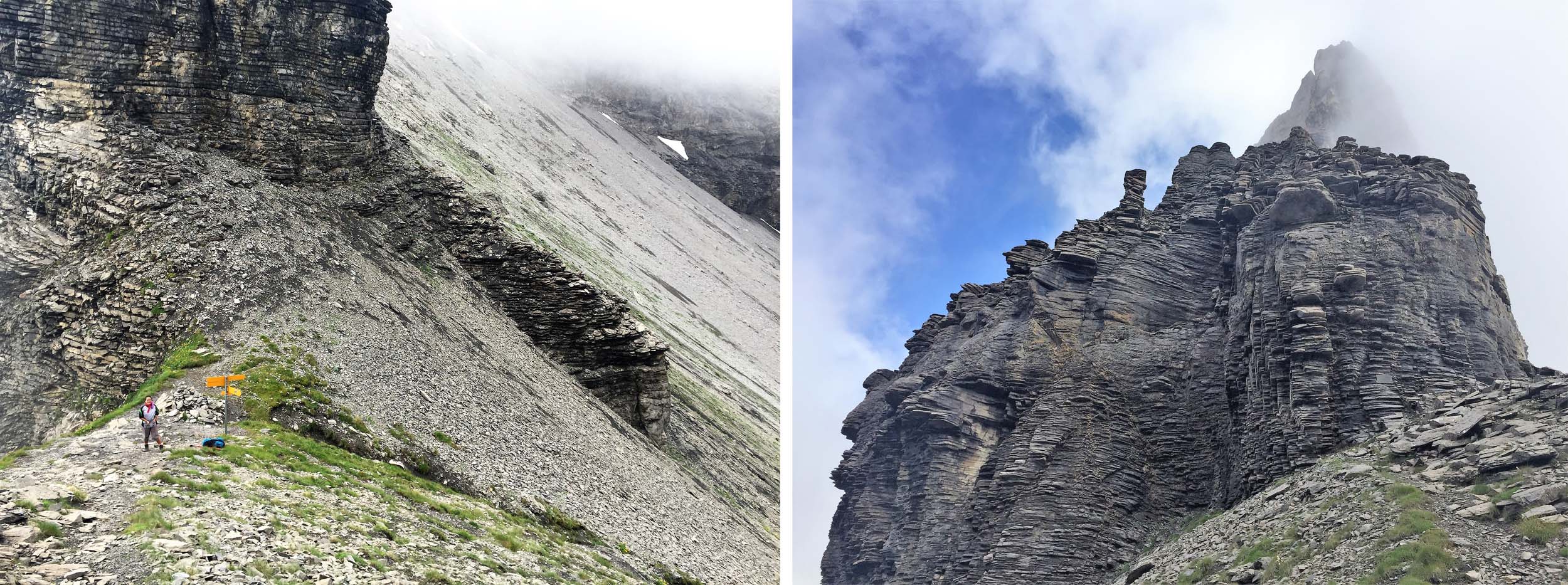
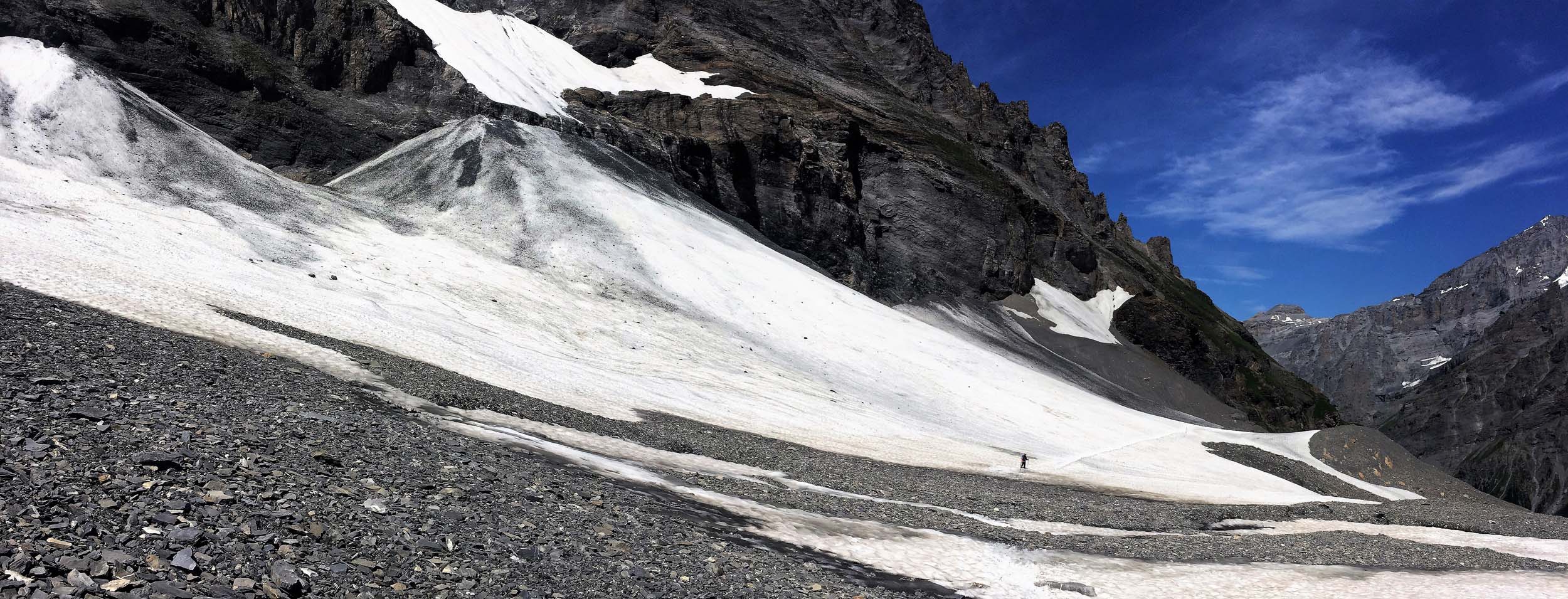
The trail from Iffigenalp to the Rawilseeleni Lakes was a little exposed in places but perfectly safe.

If I had not seen hikers to the right and above the Rawisseeleni Lakes I would have mistakenly taken the valley to the left.
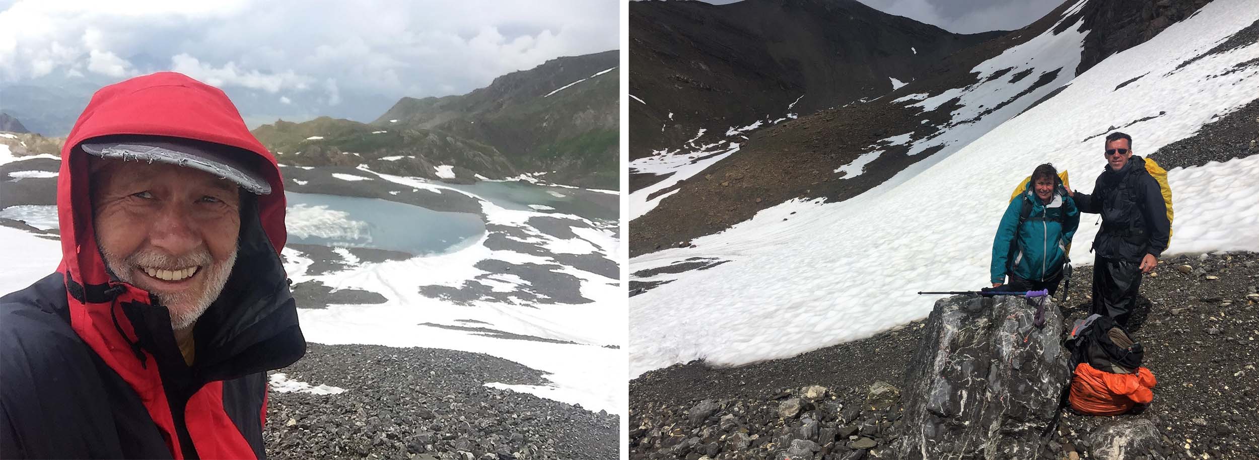
I caught up Paul and Phil Powers above the Rawisseeleni Lakes.
Paul and Phil Power on their way to the Wildstrubel Hut.

A lone hiker follows me up to the Wildstrubel Hut
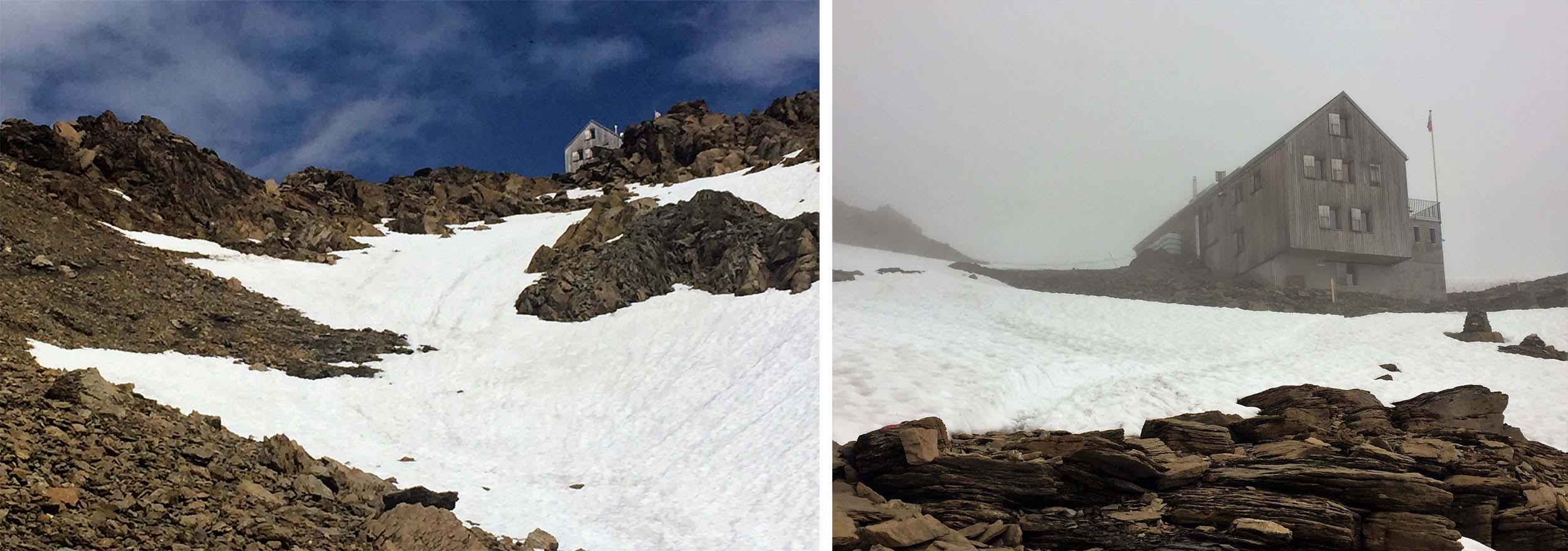
Finally at the Wildstrubel hut.
A late departure from the Wildstrubel hut whilst the rest of the group wait at the Col.
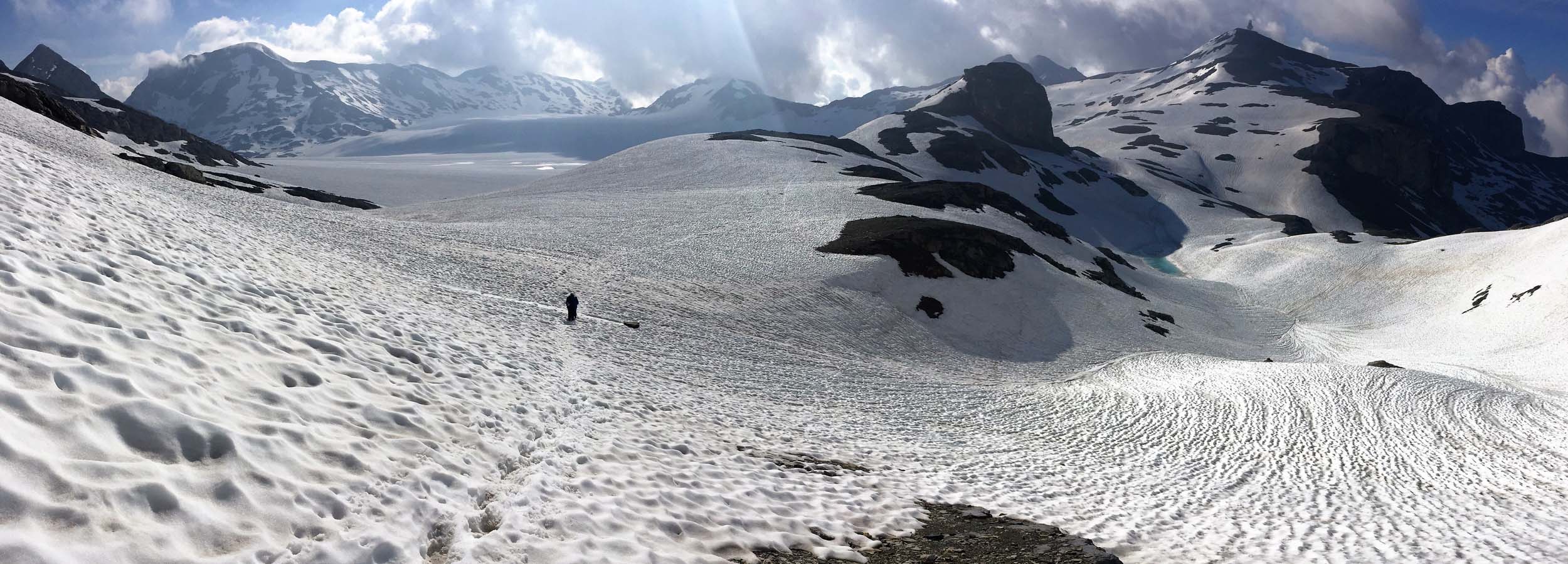

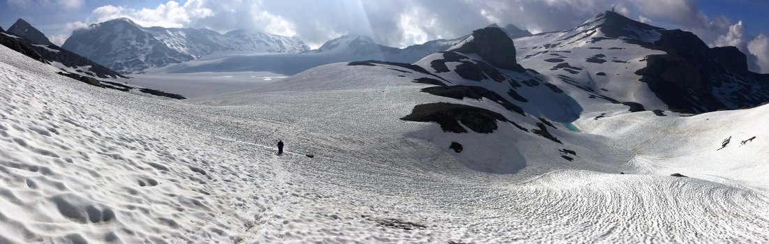
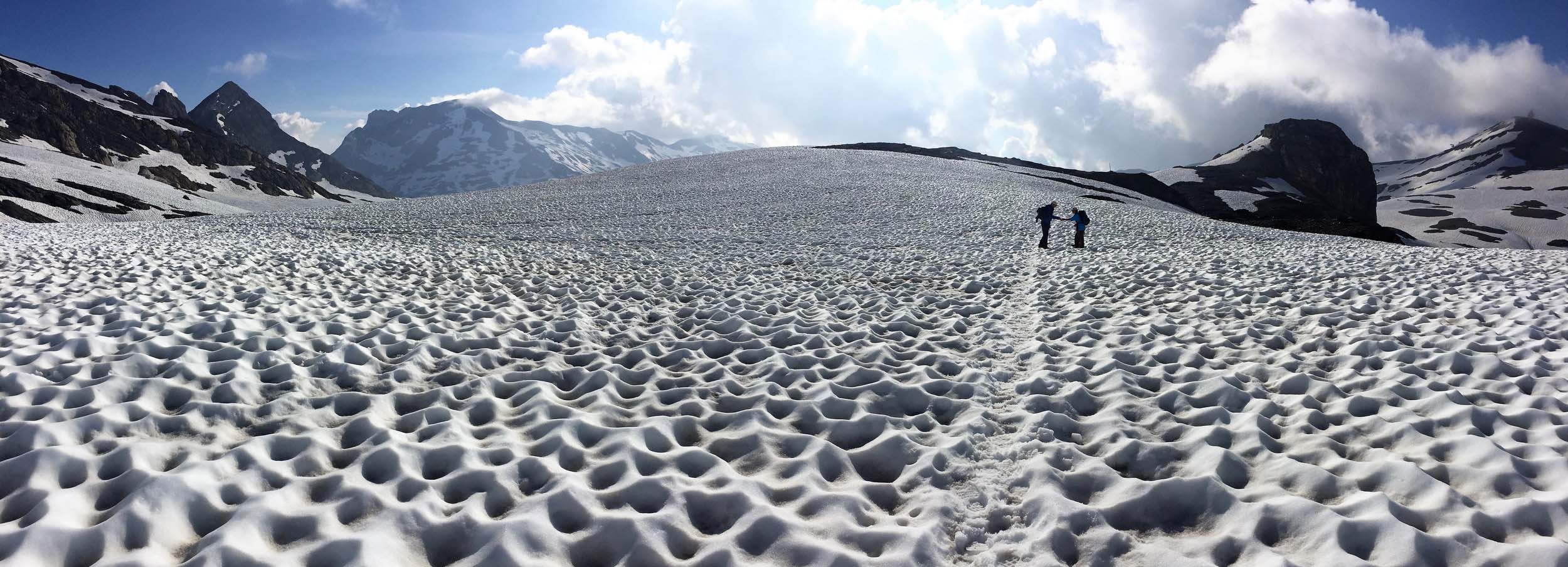
Heading towards the Plaine Morte Glacier. Our route goes to the tower on the summit far right.
Making a new friend on the trail.

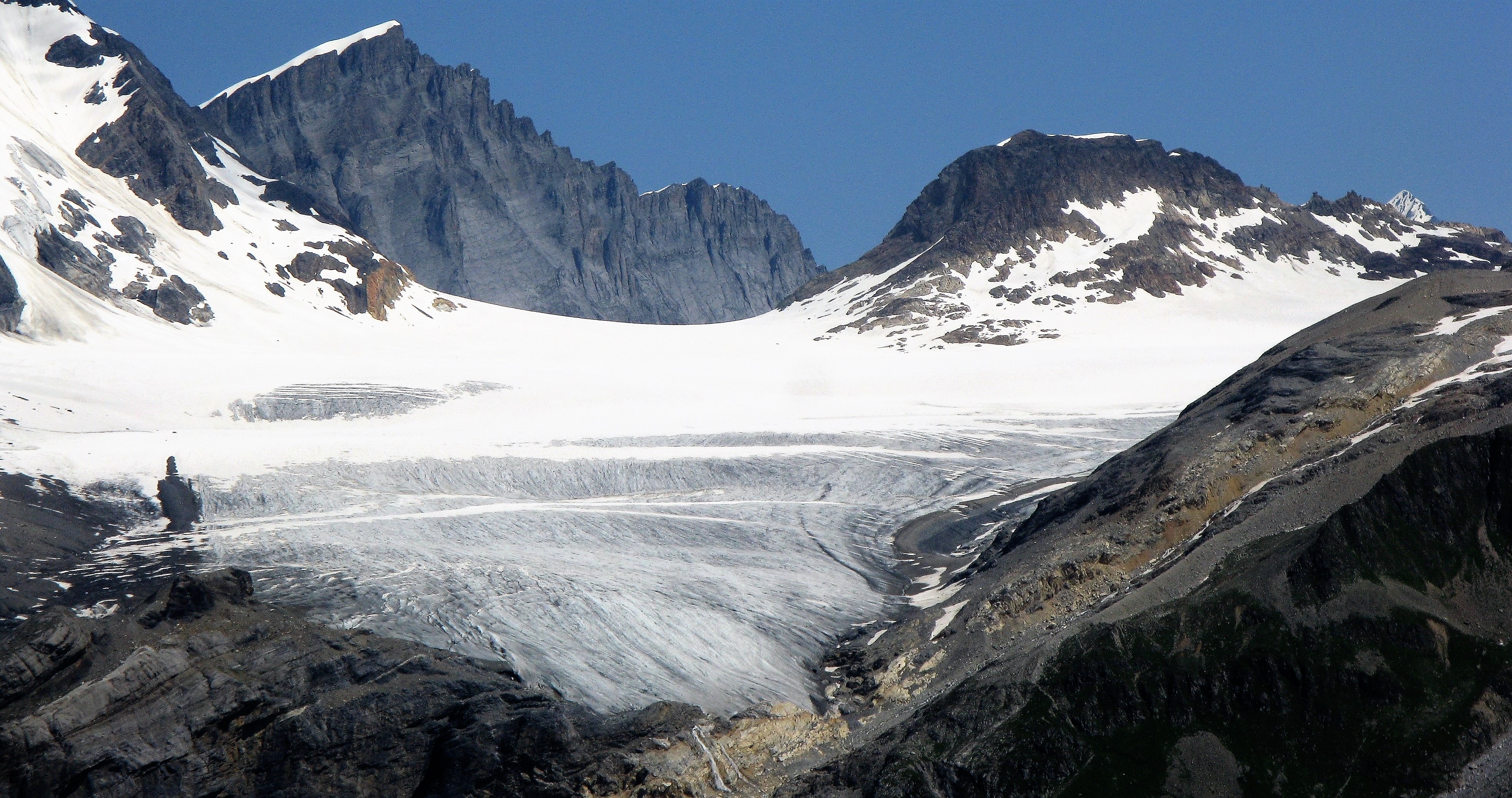
The Plaine Morte Glacier is like a small ice field and the Wildstrubel is the central peak beyond the icefield.

A rather surreal structure and the Chairman of the Trek with the Wildstrubel behind.
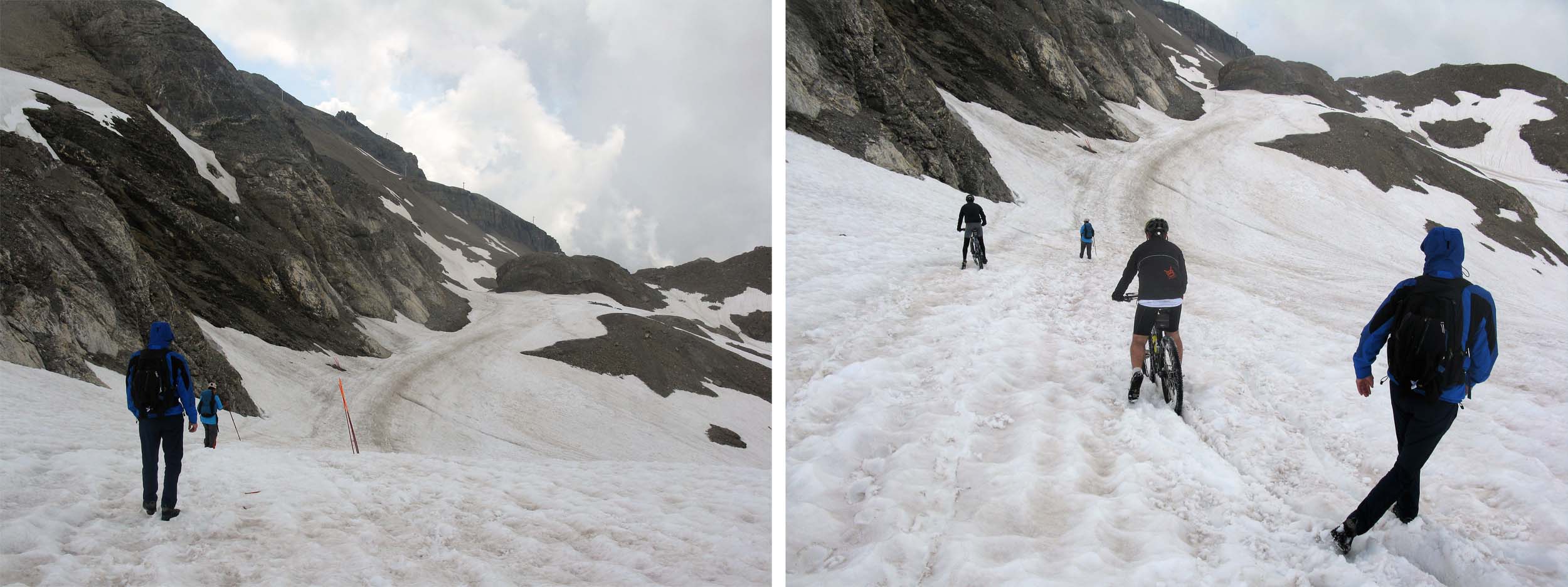
It’s a long and rugged descent from Plaine Morte to Crans Montana but it did not deter the Mountain Bikers who took the cable car up!
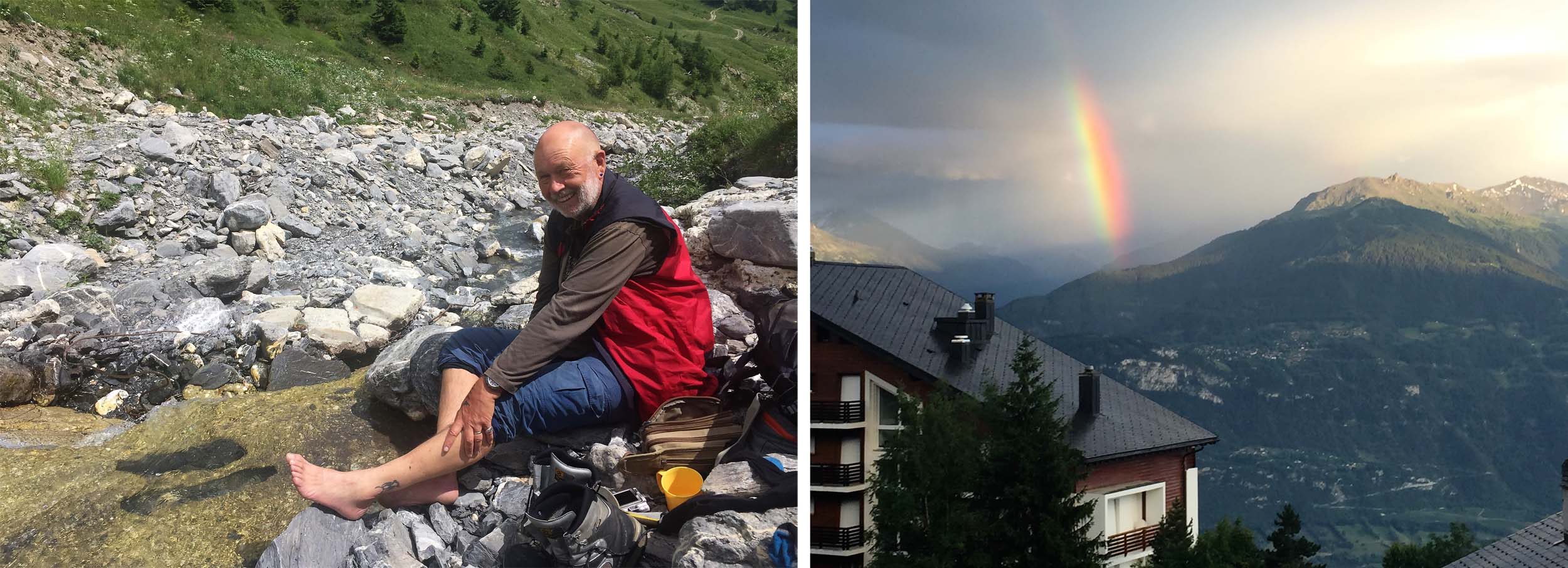
Time to bathe my feet before continuing the descent to Montana.

The route from Crans Montana to Leukerbad initially follows a delightful Bisse, a man made water channel.
The Weisshorn is the most spectacular of the Pennine Alps that we could view south of the Rhone Valley.


Our route high above the Rhone Valley was fairly gentle but very long.

Our first view of Leukerbad but we still had over two hours and a steep descent ahead of us!
July 29 – 30 2016 Leukerbad – (Cable Car) – Rinderhutte – Restipass (2626m) – Kummenalp – Lotschenass (2690m) – Selden – (Postbus) – Kandersteg – (Train) – Murren
We had long since decided that rather than taking the direct route back to Kandesteg via the Gemmipass, a notch in the valley headwall towering above Leukerbad, we would follow the extended variant, taking two full days to get to Kandersteg rather than just half a day if we took the cable car up to the Gemmipass.
So we took an alternative cable car to the Rinderhutte viewpoint, which saved us the 900 metre climb out of Leukerbad and contoured our way around in glorious weather with the Pennine Alps across the Rhone Valley to our right all clearly visible.
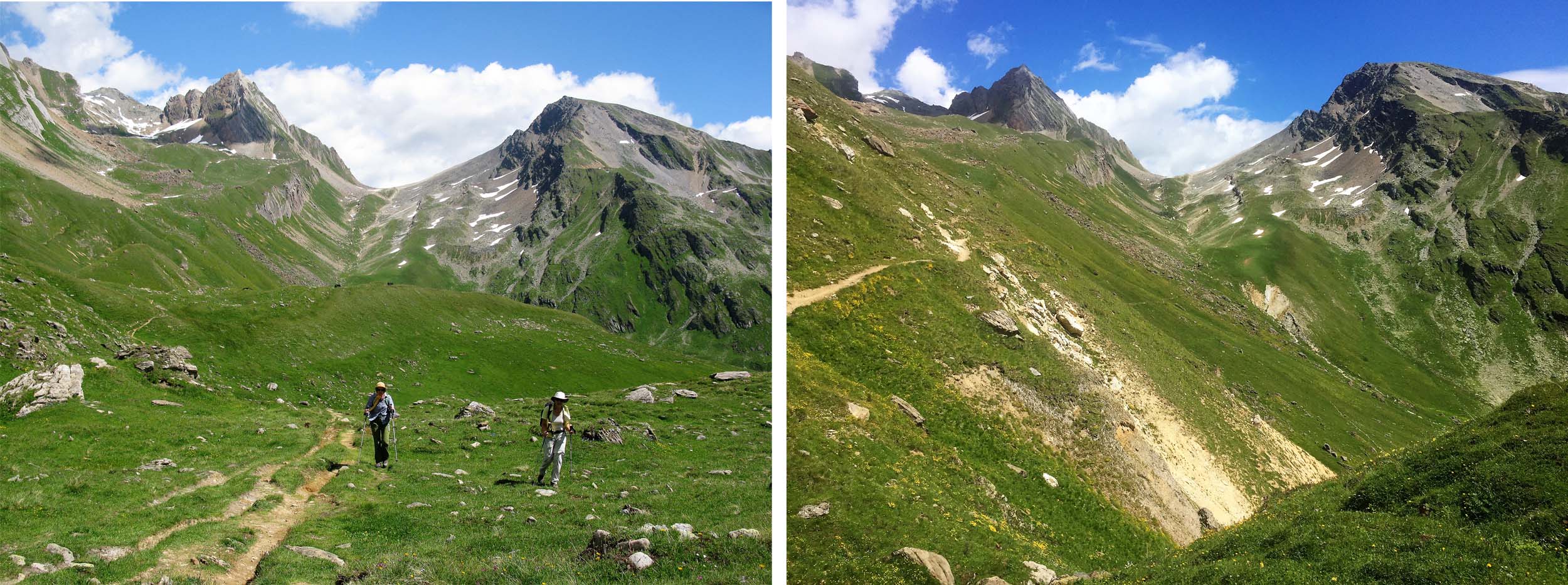
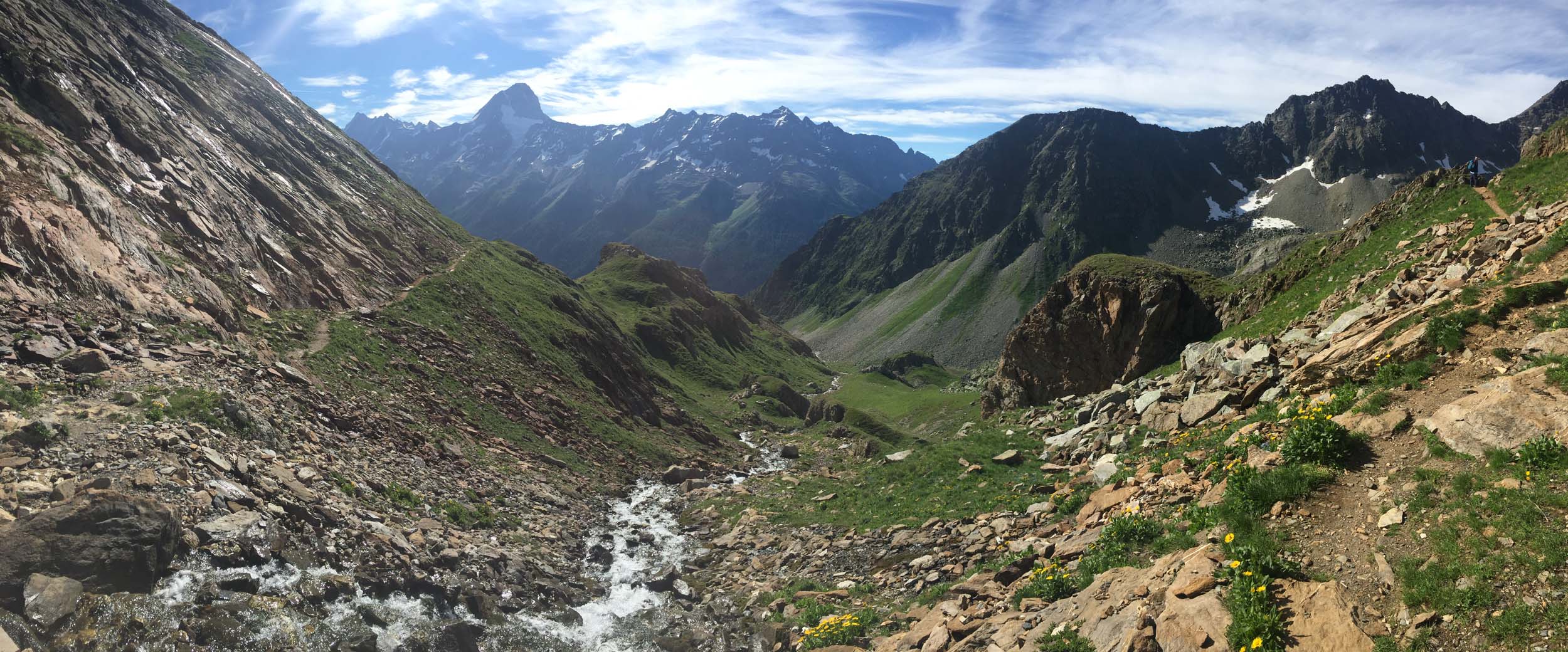
A short 300m ascent brought us to the Restipass and revealed glorious views of the entire Lotschen Valley stretching away in front of us with the majestic Bietschhorn on the right and the Aletschhorn beyond. An easy 500 metre descent brought us to the small inn at Restialp with its delightful terrace affording magnificent views of the Lotschental, one of the few Valasian Valleys north of the Rhone. After making my coffee last as long as I could, Phil Power caught me up and we contoured around to the delightful mountain Inn at Kummenalp at the foot of the climb to the Lotschenpass.
I had last been at Kummenalp 16 years previously, when the weather had precluded a crossing of the Pass, so I had been very much looking forward to returning. Indeed the food was great, the hosts so friendly and I enjoyed Kummenalp so much I returned the following year in 2017, this time coming from Fafleralp and crossing the Restipass from the east!
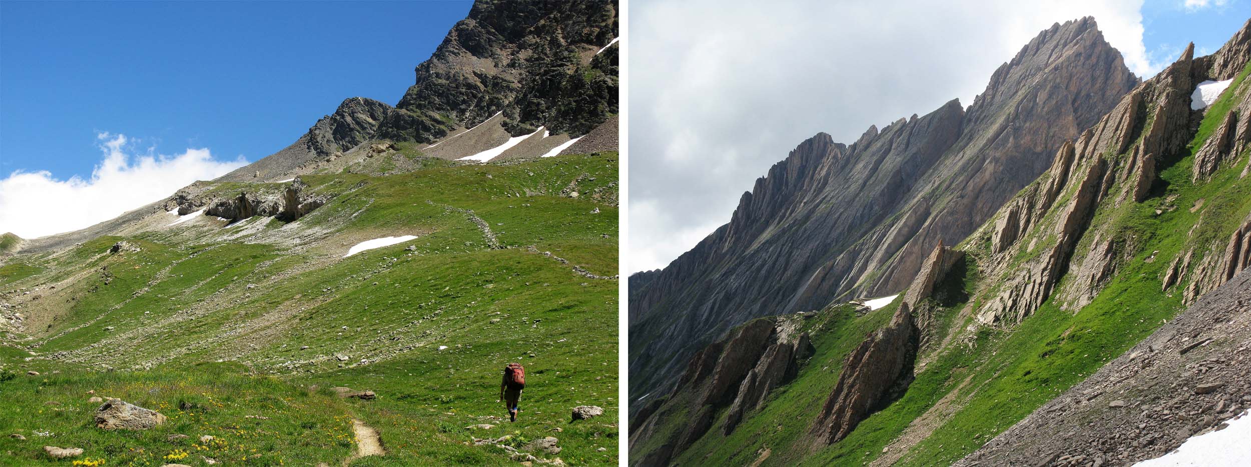
The following day was the last of our 16 day journey and we were left with a 600 metre ascent to the Lotschenpass, the only major Oberland Pass I had never crossed and a place I was keen to visit before a final 1100 metre descent to Selden.
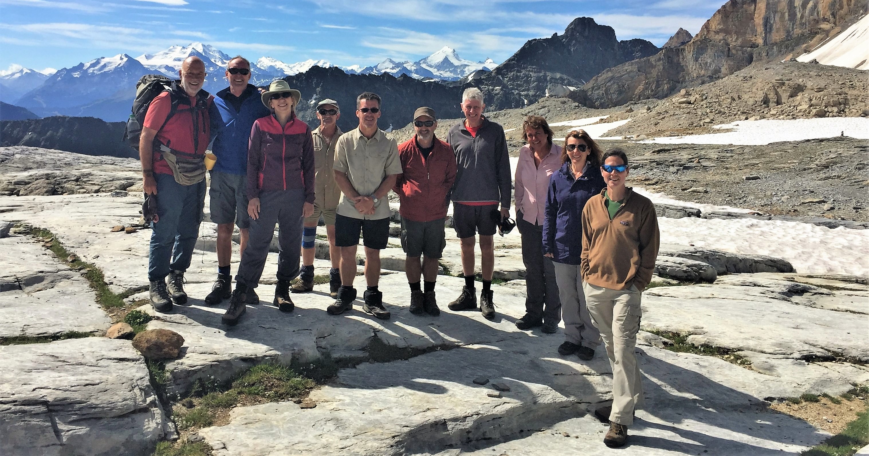
Our super fit and keen group had long since departed by the time I was ready (Hey – I’ve read my history and all good Generals lead from the rear!) but it was a glorious hike up to the snow covered Pass and I rejoiced in my solitude, as long as I did not lose the trail! Before too long the trail levelled and I was on the final approach across the fairly level snow and rock covered terrain and caught up with the group outside the nearby Lotschen Hut. If we count crossing the ridge above the Wildstrubel Hut this was the 7th Pass we had crossed and what better excuse for a final group picture in the mountains.
As it was a Saturday there were more than a few hikers coming up from the Kandersteg side so the Pass was quite busy. As I followed the group down at some narrow stretches of the trail where there were fixed chains, I had to wait to let climbing hikers pass and on one steep snow slope I slipped, tumbled down the slope maybe 20 metres and snapped my trusty walking pole, which had survived the previous 15 years with me since I found it on the slopes of Mt Baker in Washington State. Ampai had been watching me from about 300 metres ahead, as she thought I might find that section tricky (She was right!).
After crossing the dry (quite safe) lower reaches of the Lotschen Glacier there was a magnificent view up the Kandertal Valley and the Kanderfirn (glacier) towards the Petersgrat Ice Field and the Muttornhutte. About 15 years ago a Swiss Mountain Guide from Kandersteg led myself and a friend, Colin Tucker, up to the Muttornhutte, from whence we could descend eastwards to Oberhornsee and Murren or northwards across the Gamchilucke to the Gspaltenhorn Hut. So indeed as the viewpoint confirmed, our 15 day sojurn had just about brought us full circle!
All that remained was to continue our descent through the forest, don a rain jacket as it started to rain and remove it when it stopped and, before too long, I had crossed the bridge and was enjoying coffee at the roadside Inn waiting for the Postbus to Kandersteg.
Kandersteg to Murren involved 4 trains and a cable car and perhaps three hours in total and the reason I had gone back to Murren to get my car on our ‘Rest Day’ at Kandersteg was so I could now rush back to Murren and prepare a farewell dinner for everyone, together with the last group photo as a record that we all (just) survived the journey intact.
It was an ambitious hike, magnificent scenery and great company.
We could not have asked for more.
© Michael Bromfield
Leaving our hotel in Leukerbad and Group Leader Paul Power and wife Phil on the trail with the Rhone Valley below.

On the trail to Restipass with the Pennine Alps behind south of Rhone Valley below.
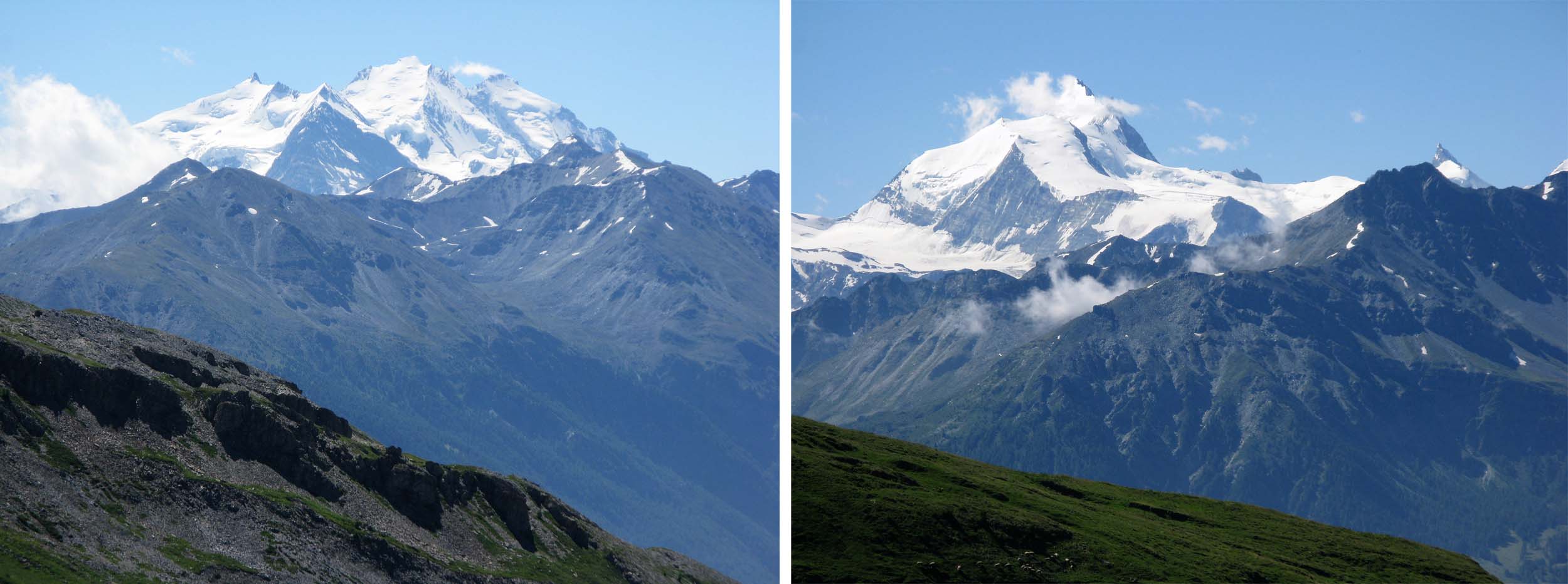
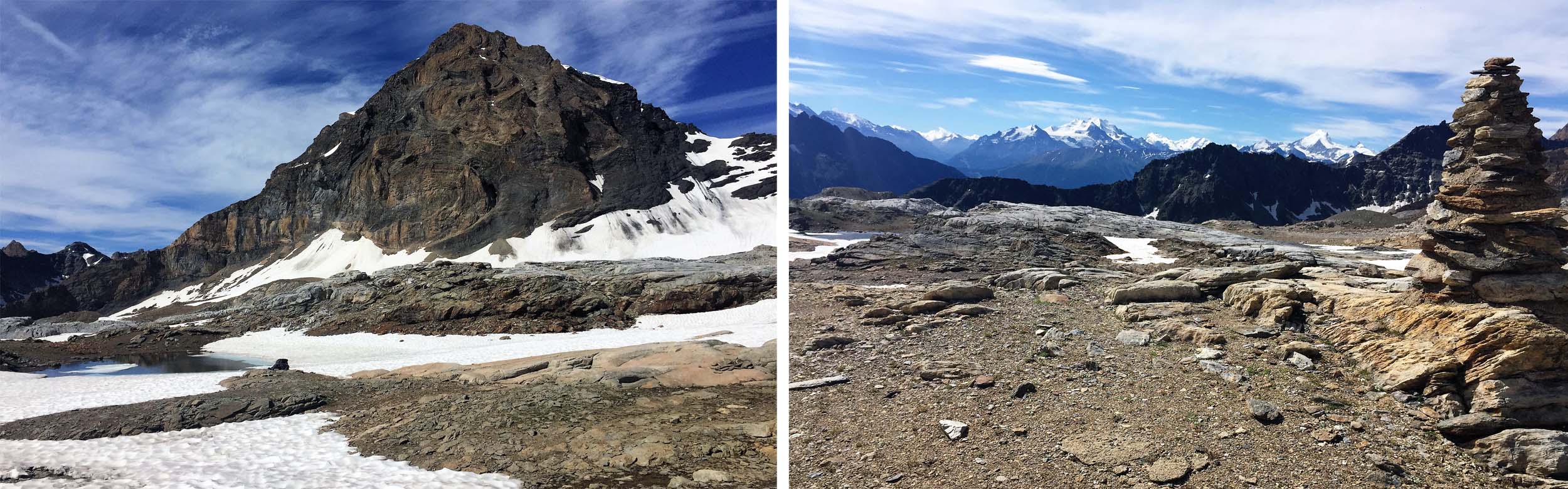
From our trail two of the giants of the Alps were clearly visible south of the Rhone. On the left the Dom 4545 metres, and the third highest peak in the Alps, and on the right, the Weisshorn 4506 metres.
The Weisshorn (Centre) and Zinal Rothorn (right) dominate this view of the trail from the Rinderhutte to the Restipass.
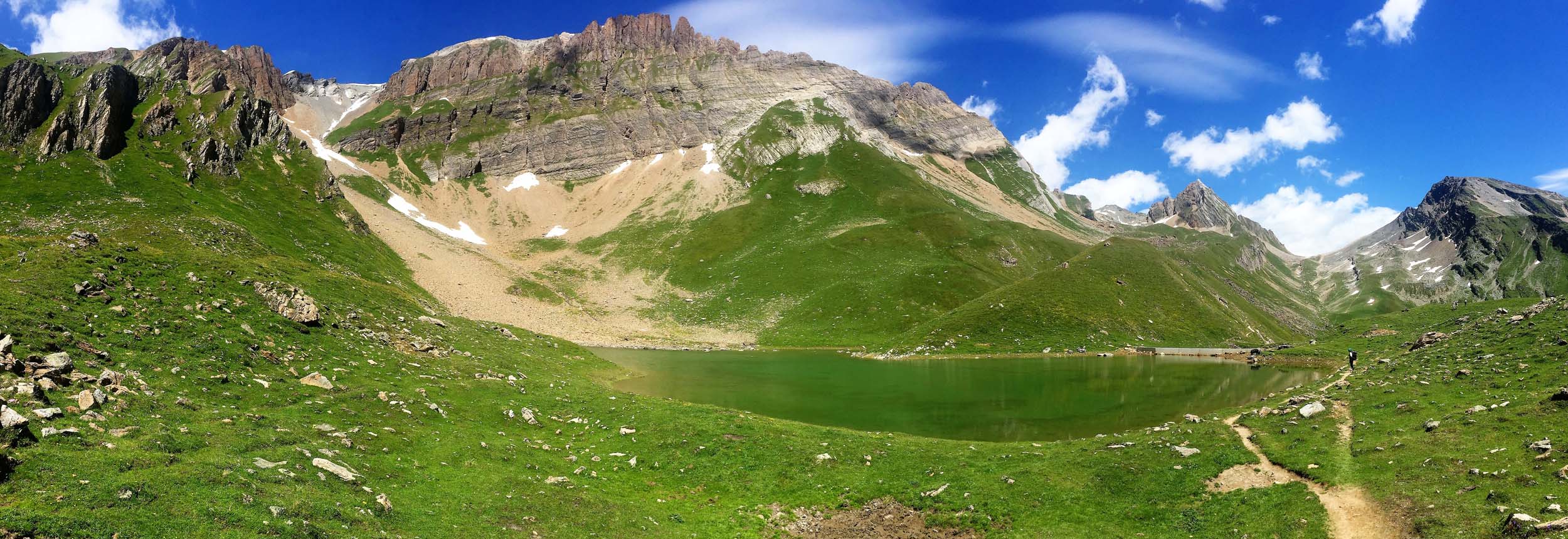
The trail to and from the Restipass passes the Wysse See where many hikers choose to rest and chill out when approaching Leukerbad and risk missing the last cable car. (As I know from personal experience!)
The final approaches to the Restipass.
Paul Power resting amidst magnificent scenery at the Restipass.
The Restipass affords our first view of the entire length of the Loschental Valley, one of the most beautiful valleys in the Valais.

Descending into the Lotschental Valley with a backwards glance at the Restipass.
The Mountain Inn at Restialp affords spectacular views of the Lotschental Valley.

The Mountain Inn at Kummenalp offers friendly hospitality at the foot of the climb to the Lotschenpass.
The alternative rarely used trail from Kummenalp to Leukerbad via the Ferdenpass follows this valley.
Glorious weather and magnificent scenery as we climbed up from Kummenalp to the Lotschenpass.

1018 Approaching the Lotschenpass with the majestic Bietschhorn behind the hiker and the Lotschenhutte on the pass.

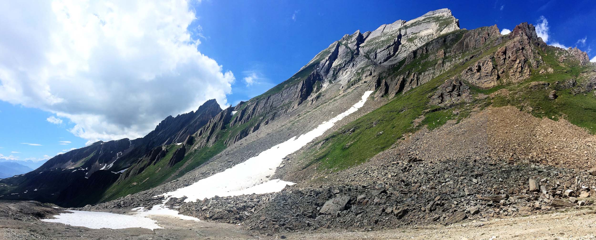
The Lotschenpass is very exposed to the elements but affords some magnificent views.
At the Lotschenpass – still smiling after 16 days together!
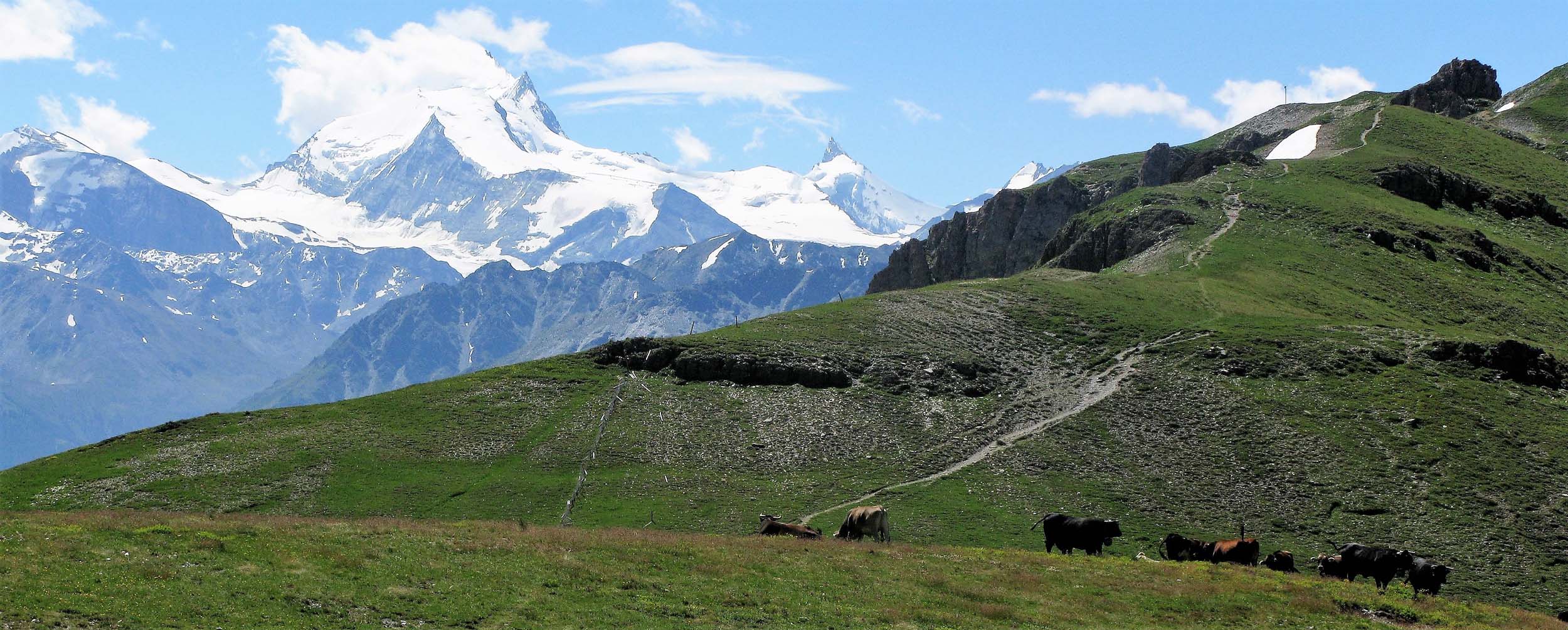
Four famous peaks from the Lotschenpass. 1 The Dom (left above) 2 The nearby Bietschhorn (right above) which dominates the Lotschental Valley 3 The Weisshorn (Centre below) 4 The Zinal Rothorn (Right below).
The descent from the Lotschenpass was not without its challenges with one or two exposed (and crowded) sections and a snow slope where I managed to slip and break my walking pole. It is not unusual for the most famous trails in the Alps to be busy on weekends with fine weather.

Crossing a dry (no snow cover) glacier is quite safe in good visibility as any crevasses are visible but careful footwork is still required.
The descent to Selden yielded great views up the Kandertal valley to the Petersgrat Icefield and the Mutthornhutte. This was a hike I did with a Swiss Mountain Guide almost 20 years ago.
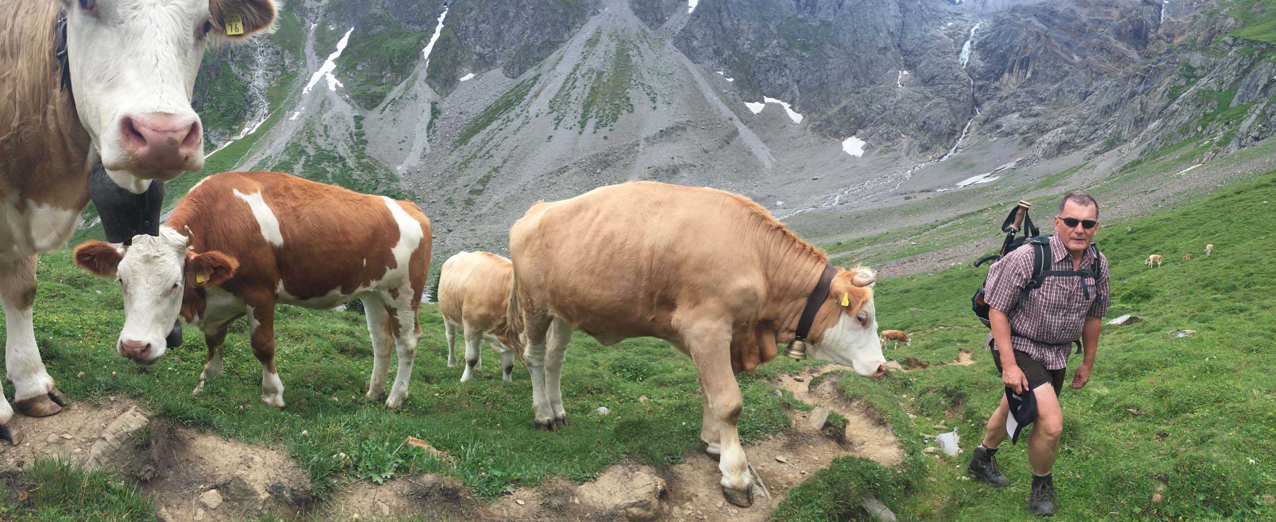
Making some new friends on the trail.
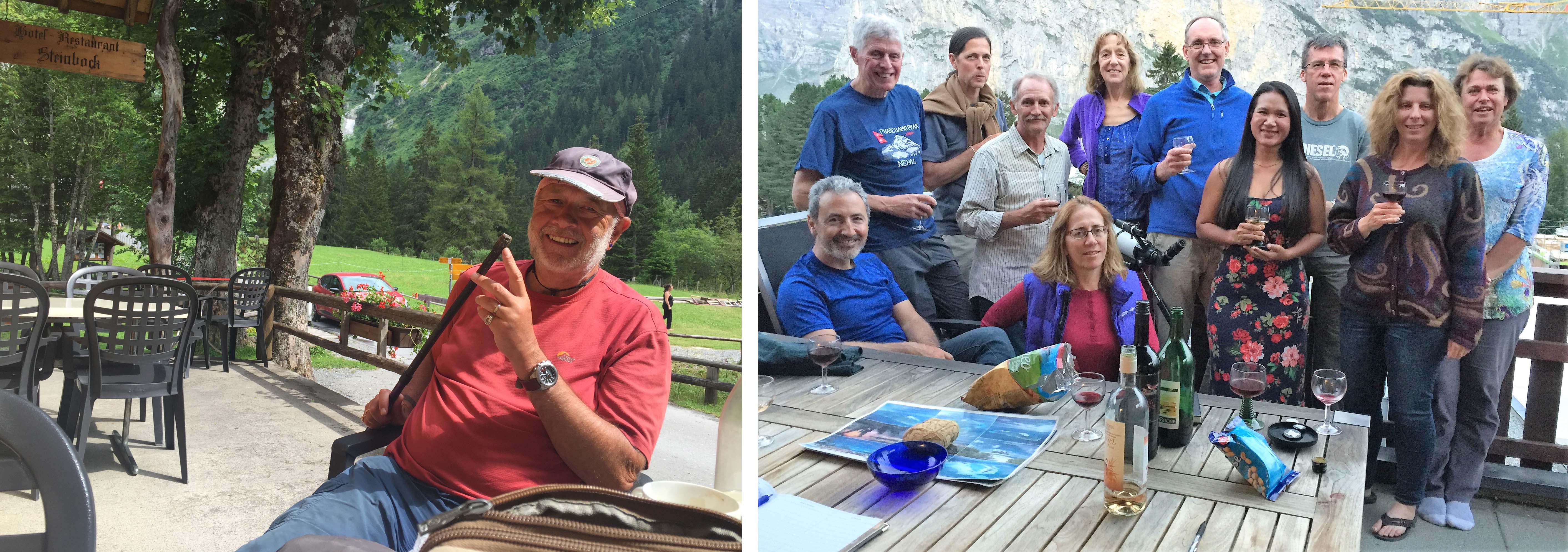

15 days walking completed when we got to Selden, where I inspected my broken walking pole, and was celebrated with a farewell dinner in Murren.

May 14, 2019 at 6:52 PM
Bellissime foto.
May 14, 2019 at 7:20 PM
So inspiring and enjoyed, ta, geordie keith
May 15, 2019 at 3:32 PM
Amazing! Ashok
Sent from my iPhone
>
Pingback: 47 More than a walk in the Park! – Mt Kinabalu, Sabah, Borneo, Malaysia: February 3 – 5 2018 | Notes from a Nomad
Pingback: 47 – More than a walk in the Park! – Mt. Kinabalu, Sabah, Borneo, Malaysia: February 3 – 5 2018 | Notes from a Nomad